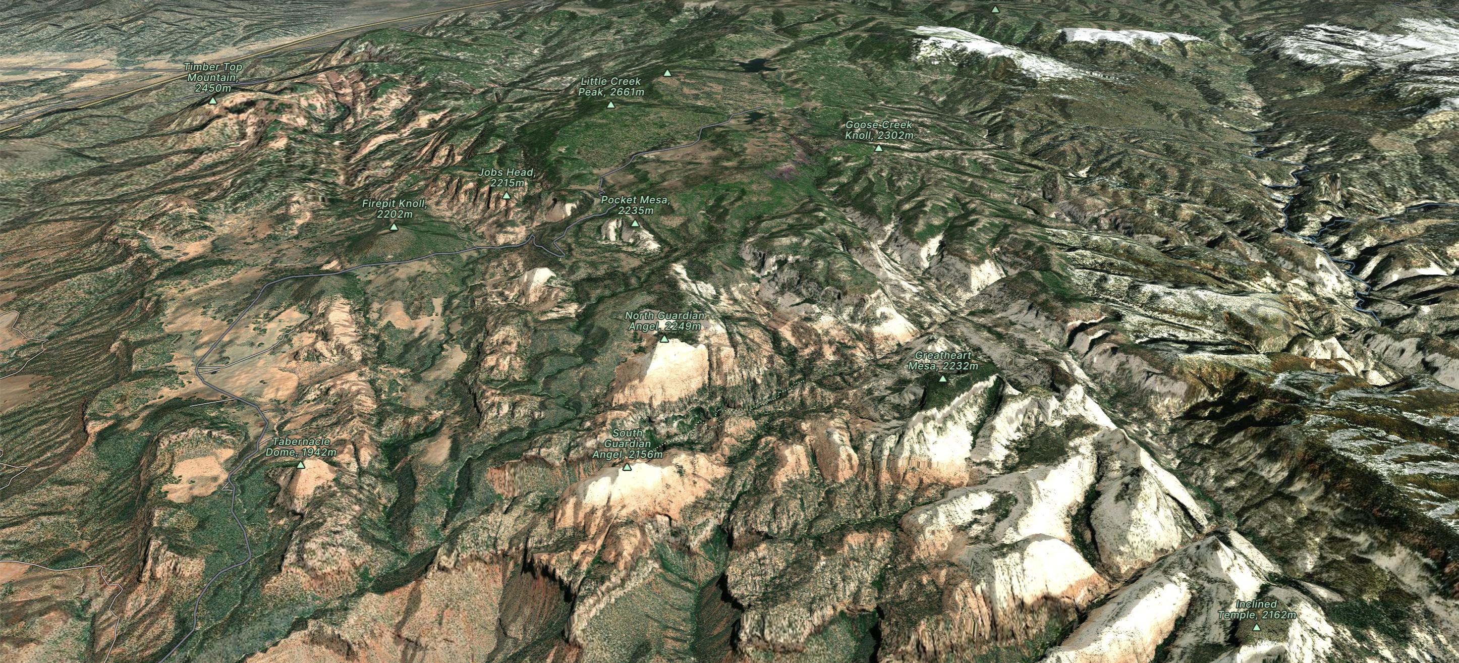
The Subway Top-Down

Canyoneering Route For the Subway
Severe Hiking
- Distance
- 16 km
- Ascent
- 504 m
- Descent
- 1.1 km
Explore Zion National Park with curated guides of the best hiking trails, and more. With over 17 3D trail maps in FATMAP, you can easily discover and navigate the best trails in Zion National Park.
No matter what your next adventure has in store, you can find a guide on FATMAP to help you plan your next epic trip.
Get a top trail recommendation in Zion National Park from one of our 7 guidebooks, or get inspired by the 17 local adventures uploaded by the FATMAP community. Start exploring now!
Canyoneering Route For the Subway
Severe Hiking