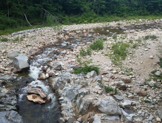
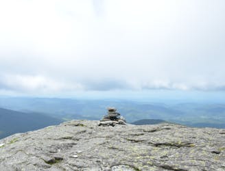
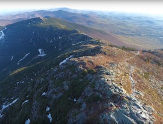
Long Trail: Massachusetts State Line to Stratton Pond
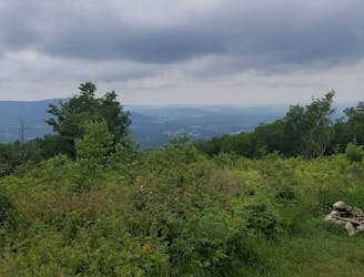
The southernmost segment of Vermont's Long Trail.
Difficult Hiking
- Distance
- 55 km
- Ascent
- 2.3 km
- Descent
- 2.4 km
Go hiking in Vermont with curated guides of the best hikes across the region. With over 194 3D trail maps in FATMAP, you can easily discover and navigate the best trails in Vermont.
No matter what your next adventure has in store, you can find a guide on FATMAP to help you plan your next epic trip.
Get a top hiking trail recommendation in Vermont from one of our 13 guidebooks, or get inspired by the 194 local adventures uploaded by the FATMAP community. Start exploring now!
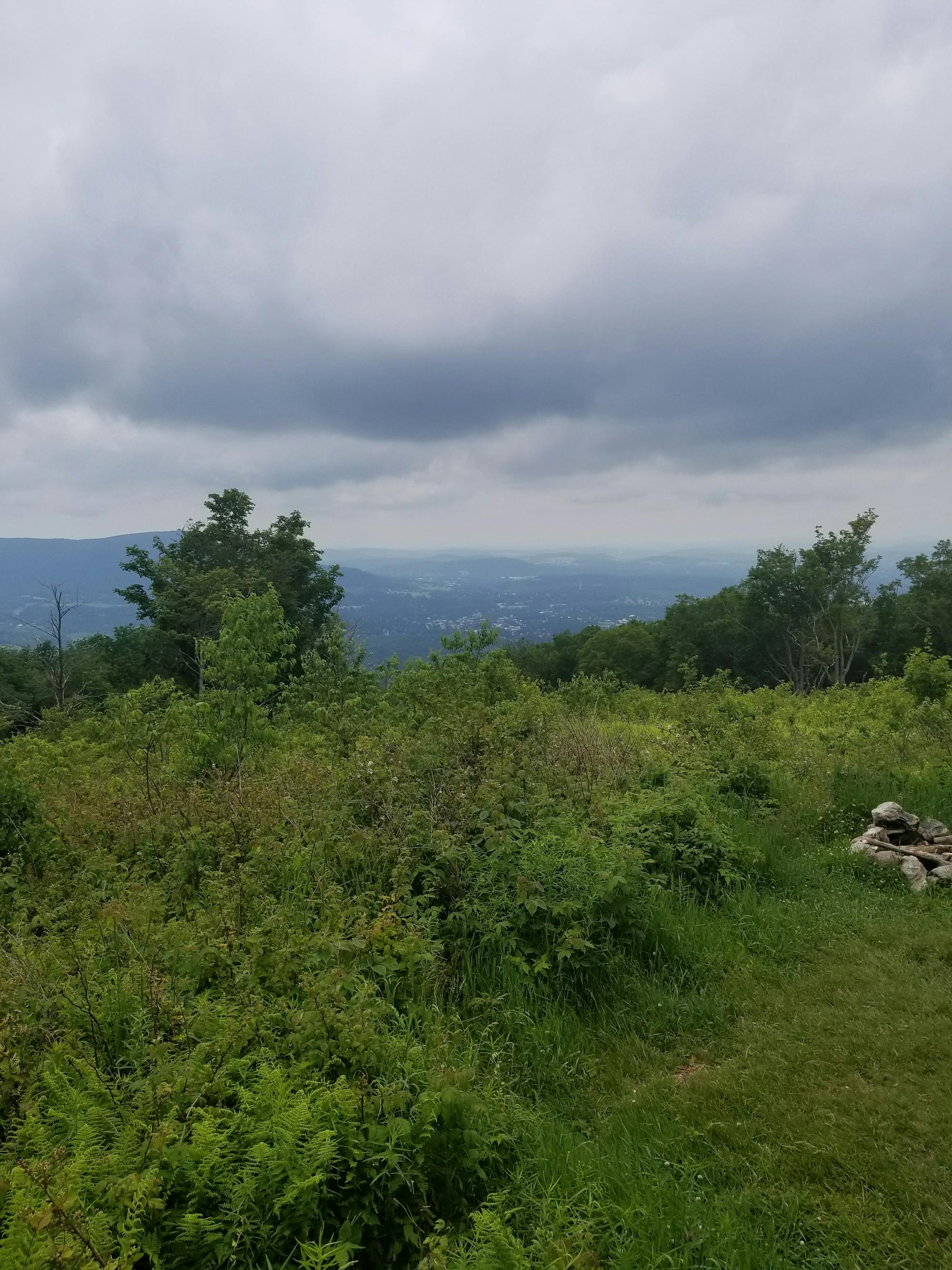
The southernmost segment of Vermont's Long Trail.
Difficult Hiking
A beautiful loop around Pico Mountain to run, hike, or spend the night.
Severe Hiking
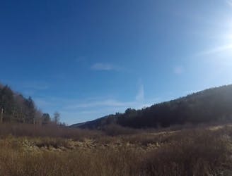
A easily shuttled stretch of the AT, connecting Killington Mountain to the Connecticut River.
Difficult Hiking
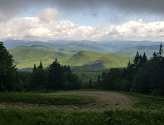
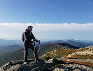
An amazing segment through the high country of Vermont, summiting Killington Peak.
Difficult Hiking
A remote Vermont stretch of the AT known for its summit of Stratton Mountain and Peru Peak.
Difficult Hiking
The AT transitions from the Berkshires of Massachusetts to the Green Mountains of Vermont.
Difficult Hiking

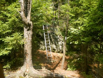
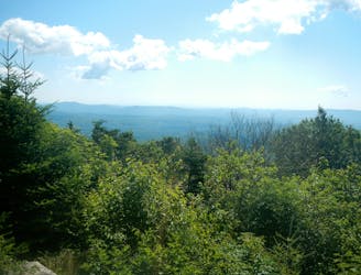
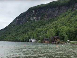
A climb through the forests of Vermont onto a stunning vista which overlooks the valley and lakes bellow.
Moderate Hiking
Une randonnée au coeur du Vermont !
Moderate Hiking
Un sommet mythique du Vermont !
Difficult Hiking
Une rando au sommet du Vermont !
Moderate Hiking
Thundering Falls Trail - Vermont VT
Easy Hiking
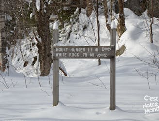
Mount Pisgah Hike - Vermont VT
Moderate Hiking
Mount Mansfield Hike - Vermont VT
Severe Hiking