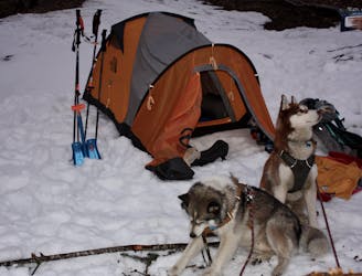
Skin up to Prarion sleep out ski home in morning
Ski tour limited snow, lots of piste skinning
Moderate Ski Touring
- Distance
- 5.4 km
- Ascent
- 1.1 km
- Descent
- 110 m
Explore Saint-Gervais-les-Bains with curated guides of the best hiking trails, mountain bike trails, and more. With over 37 3D trail maps in FATMAP, you can easily discover and navigate the best trails in Saint-Gervais-les-Bains.
No matter what your next adventure has in store, you can find a guide on FATMAP to help you plan your next epic trip.
Get a top trail recommendation in Saint-Gervais-les-Bains from one of our 16 guidebooks, or get inspired by the 37 local adventures uploaded by the FATMAP community. Start exploring now!
Ski tour limited snow, lots of piste skinning
Moderate Ski Touring
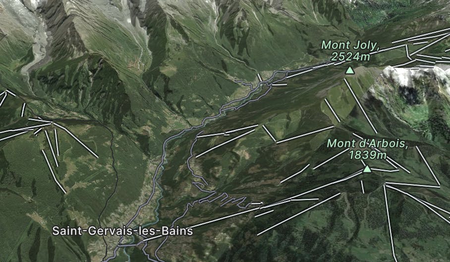
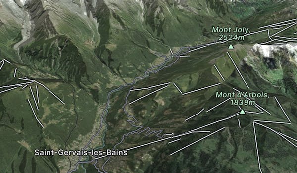
The Classic Route, Plotted by Mountain Tracks' Lead Guide Matt Dickinson
Difficult Hiking
A short, easy trip with big views throughout.
Easy Mountain Biking
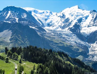
A snow-sure trail at 1850 meters elevation with spectacular panoramic views
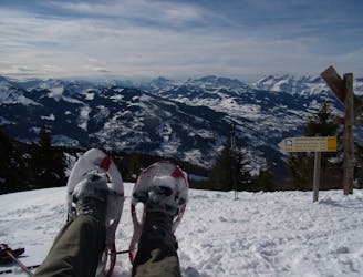
Easy Snow Shoeing

Train safely, in almost any condition? This is the program proposed by this varied route at the foot of Mont Blanc. One of the first of its kind to have been created in France.
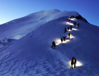
Difficult Resort Ski Touring