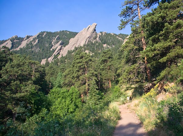
7 routes · Hiking


Discover, plan, track and share your
outdoor adventures.
7 routes · Hiking
5 routes · Hiking
21 routes · Trail Running
4 routes · Trail Running
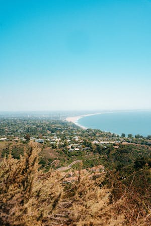
13 routes · Hiking
5 routes · Ski Touring
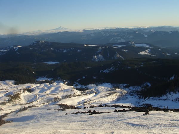
8 routes · Ski Touring
5 routes · Ski Touring
4 routes · Trail Running
5 routes · Hiking
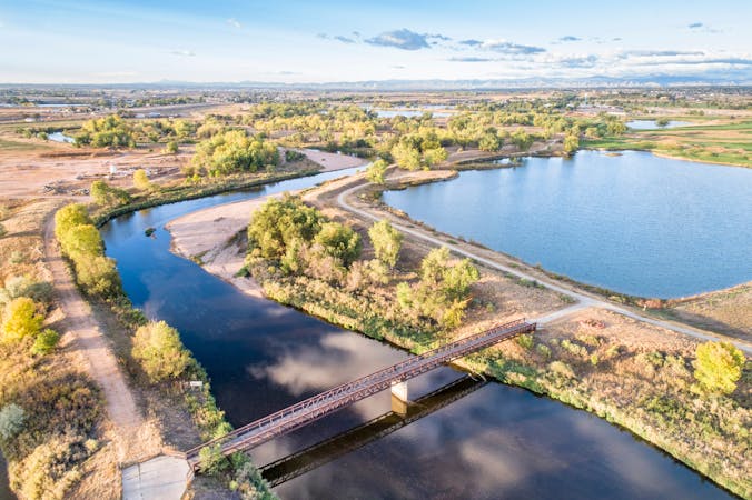
8 routes · Hiking
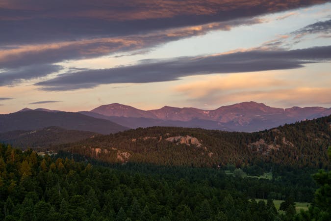
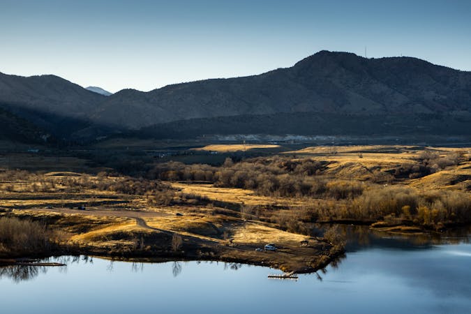
25 routes · Hiking

Day hike visiting Black Tusk, Panorama Ridge & Garibaldi Lake
Difficult Hiking

A long climb leads to a stunning and peaceful campsite
Difficult Hiking

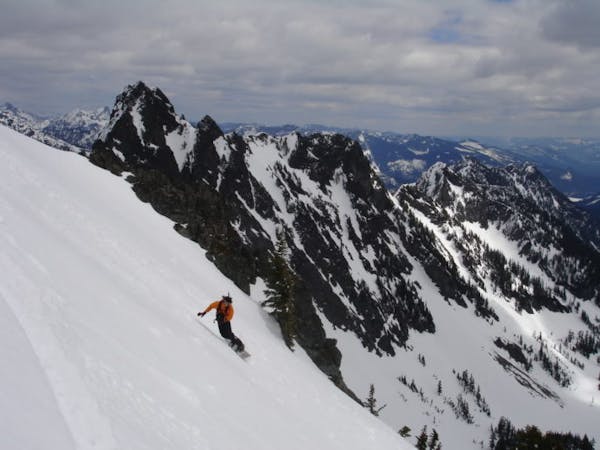
Serious free-skiing on the North Face of Mt Cheops
Extreme Freeride Skiing
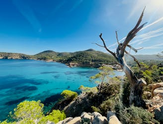
Circular route of 6.60km from the beach of Cala de Xarraca, passing through the Cuevas del Levante and Es Canaret cove.
Moderate Hiking
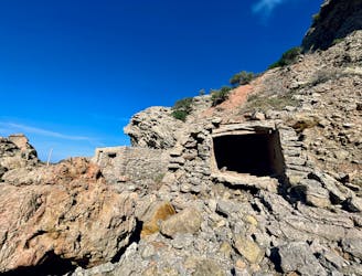
Circular route of 7km that passes through the cove of Corral d'en Guillem and the viewpoint of Sa Penya Esbarrada.
Moderate Hiking

This route is about 13 km long and starts in Calles, goes through the waterway to Chelva and returns via the Roman aqueduct and Peña Cortada.
Moderate Hiking

Canada's most famous grand traverse is a magnificent adventure
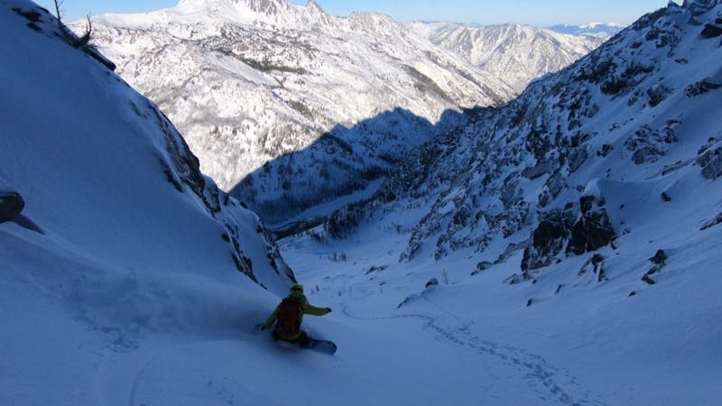
Difficult Ski Touring

Loop trail over the Cañon Rojo (Red Canyon)
Moderate Hiking
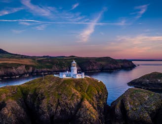
Pembrokeshire Coast Path
Difficult Hiking
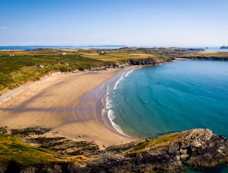
Pembrokeshire Coast Path
Difficult Hiking
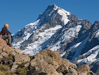
A 2-3 day mountaineering adventure crossing the Mount Cook Range
Extreme Hiking
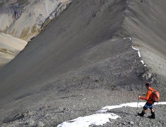
Adventurous multi-day trekking in the Lake Tekapo, Mackenzie High Country
Severe Hiking

An essential and unmissable app I use every day I’m in the mountains
 Liv Sansoz
FATMAP has changed the way I see and act in the mountains
 Xavier De Le Rue
FATMAP has brought a new level of confidence and safety to my planning and navigation in the mountains
 Ben Tibbetts
Discover the world’s best skiing, hiking, and mountain biking routes – written and moderated by qualified professionals