FATMAP by Strava

Ball Pass - The Traditional Route

Mount Cook

A 2-3 day mountaineering adventure crossing the Mount Cook Range

Hiking Extreme

Distance
27 km
Ascent
1.8 km
Descent
1.7 km
Duration
1 day +
Low Point
722 m
High Point
2.1 km
Gradient
28˚
Ball Pass - The Traditional Route Map

Trek across a high mountain pass surrounded by New Zealand's highest peaks and longest glacier. Cross the Mount Cook Range from the Tasman Valley to the Hooker Valley. Watch ice avalanches tumble down the impressive 2000m high Caroline Face of Mount Cook, New Zealand's highest ice face.

Description

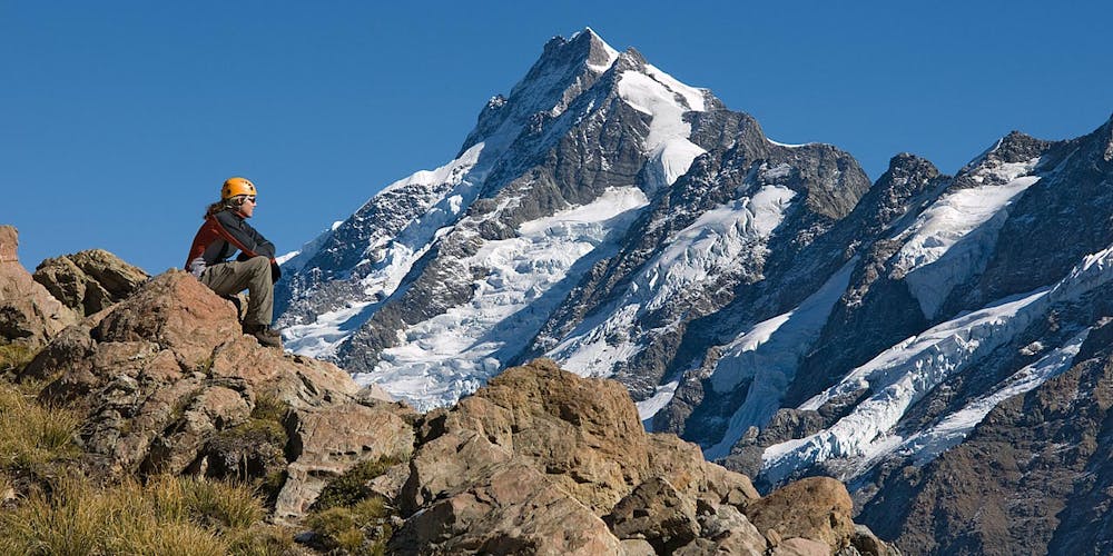
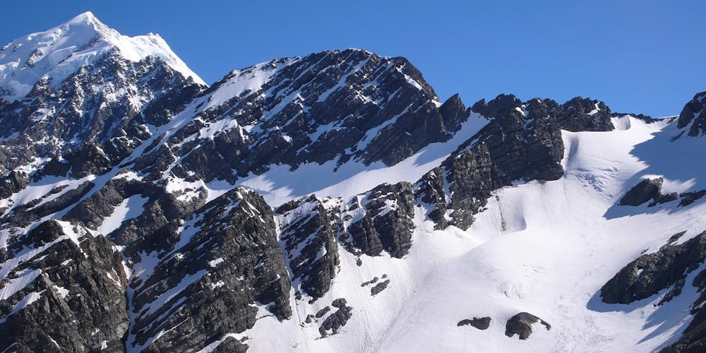
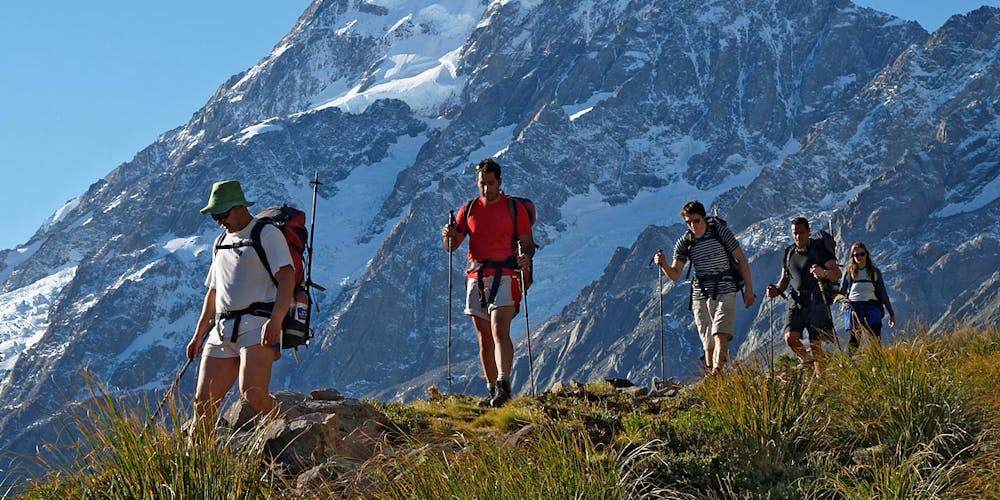
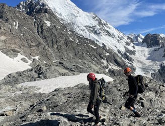
The traditional route follows the Ball Ridge past Caroline Hut to cross Ball Pass 2121m before descending to the Hooker Valley. Enjoy spectacular views of the South Face of Aoraki Mount Cook, Mount Sefton, Mount La Perouse and many of New Zealand's highest peaks.

<b>BALL PASS ROUTE DAMAGE<br><i>Intense and prolonged rainfall during December 2019 caused significant damage to the traditional Ball Pass route down the east Hooker Valley. Multiple washouts and unstable moraine walls need to be crossed to complete this route.</i></b>

<b><i>The recommended alternative is to take the modern Ball Pass route instead - it covers all of the highlights of the traditional route and spends more time in alpine terrain without the need to cross loose and crumbling moraine walls: https://fatmap.com/routeid/3594839/ball-pass-the-modern-route </i></b>

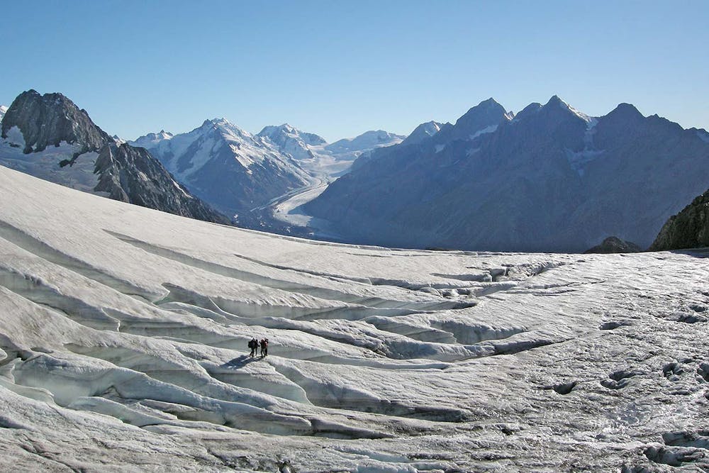
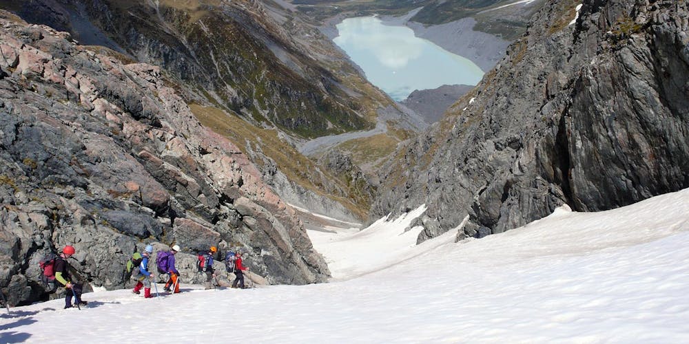
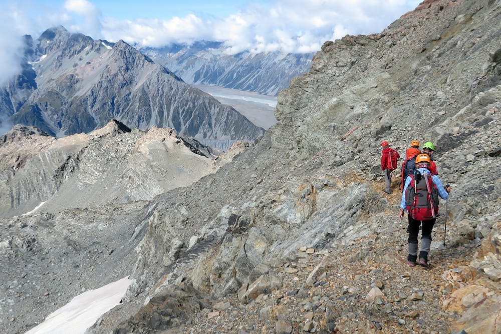
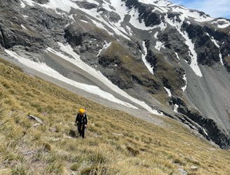
Previous mountaineering experience is recommended if doing Ball Pass unguided. Crampons and ice axe are required. The route crosses exposed ledges, rough alpine scree and boulder fields, snow slopes, glaciers, steep tussock slopes and alpine scrub. In most places there is no trail. The terrain is rugged and untracked, route-finding is difficult.

2-3 days alpine trekking / mountaineering across moraine walls, snowfields, glaciers, rough scree, boulder fields and alpine meadows.

<b>Guided option:</b> Ball Pass Crossing https://alpinerecreation.com/ballpasscrossing.html

Difficulty

Extreme

Scrambling up mountains and along technical trails with moderate fall exposure. Handholds are necessary to navigate the trail in its entirety, although they are not necessary at all times. Some obstacles can be very large and difficult to navigate, and the grades can often be near-vertical. The challenge of the trail and the steepness of the grade results in very strenuous hiking. Hikes of this difficulty blur the lines between "hiking" and "climbing".

Extreme Exposure

4 out of 4

Some trail sections are extremely exposed where falling will almost certainly result in serious injury or death.

Remoteness

3 out of 4

Little chance of being seen or helped in case of an accident.

Best time to visit

between December and April

Features

  • Alpine
  • Historical
  • Picturesque
  • Wild flowers

Similar routes nearby