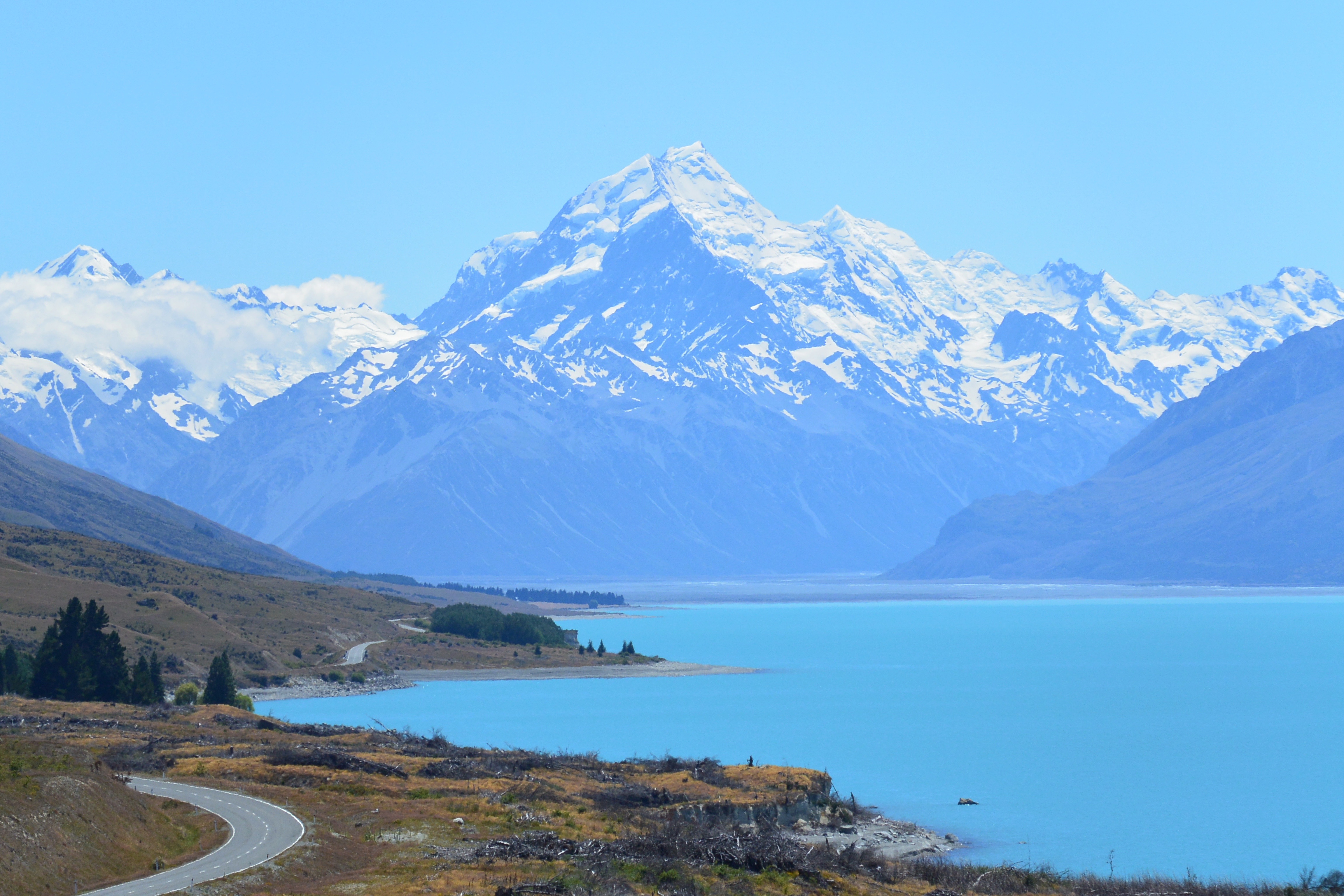
60 routes · Ski Touring · Alpine Climbing · Hiking

Go hiking in Canterbury with curated guides of the best hikes across the region. With over 85 3D trail maps in FATMAP, you can easily discover and navigate the best trails in Canterbury.
No matter what your next adventure has in store, you can find a guide on FATMAP to help you plan your next epic trip.
Get a top hiking trail recommendation in Canterbury from one of our 10 guidebooks, or get inspired by the 85 local adventures uploaded by the FATMAP community. Start exploring now!


60 routes · Ski Touring · Alpine Climbing · Hiking
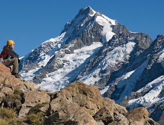
A 2-3 day mountaineering adventure crossing the Mount Cook Range
Extreme Hiking
Adventurous multi-day trekking in the Lake Tekapo, Mackenzie High Country
Severe Hiking
Adventurous multi-day trekking in the Lake Tekapo, Mackenzie High Country
Severe Hiking
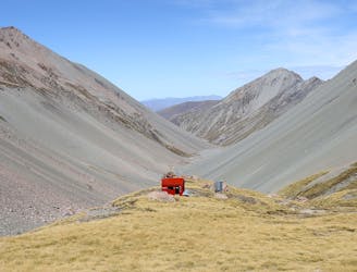
An adventurous alpine hike in the Lake Tekapo, Mackenzie High Country
Difficult Hiking
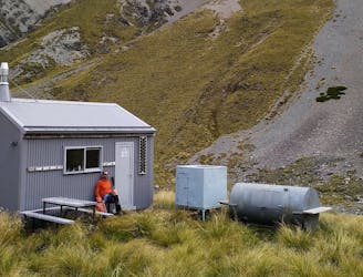
An adventurous overnight hike in the Lake Tekapo, Mackenzie High Country
Difficult Hiking

An adventurous alpine hike in the Lake Tekapo, Mackenzie High Country
Difficult Hiking
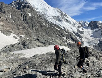
An epic mountaineering adventure crossing 2 alpine passes and traversing the Mount Cook Range. Spectacular views of New Zealand's highest peaks.
Extreme Hiking
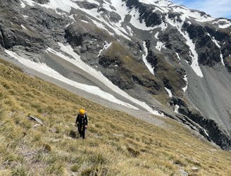
Modern route to Ball Ridge and Ball Pass. Climbs up next to the Cove Stream Gorge, with nice views of waterfalls and the Tasman and Murchison Valleys. Crosses large sections of alpine scrub, scree and boulder fields, steep tussock slopes and snow fields.
Extreme Hiking
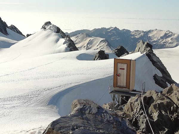
11 routes · Alpine Climbing · Hiking
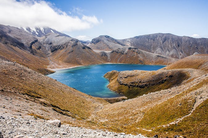
5 routes · Hiking
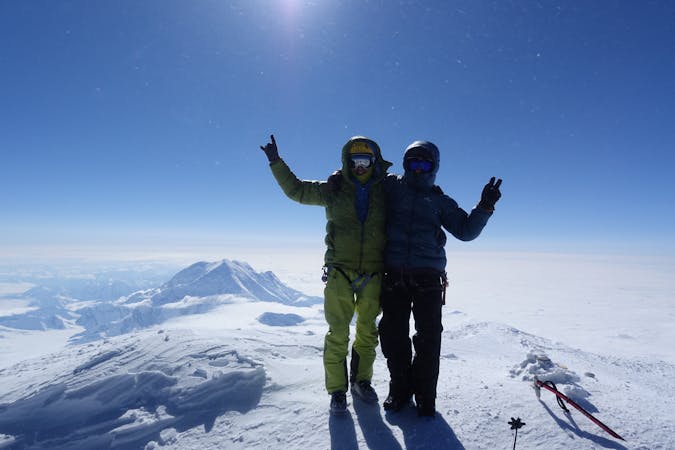
18 routes · Alpine Climbing · Hiking