Shatili to Roshka - Running through the Caucasus
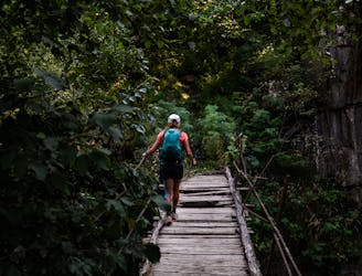
Stage three. Dusty roads, epic views and bridges with that 'Georgian charm.'
Moderate Trail Running
- Distance
- 43 km
- Ascent
- 2.3 km
- Descent
- 1.8 km
Explore Mtskheta-Mtianeti with curated guides of the best trail running routes, ski routes, and more. With over 35 3D trail maps in FATMAP, you can easily discover and navigate the best trails in Mtskheta-Mtianeti.
No matter what your next adventure has in store, you can find a guide on FATMAP to help you plan your next epic trip.
Get a top trail recommendation in Mtskheta-Mtianeti from one of our 2 guidebooks, or get inspired by the 35 local adventures uploaded by the FATMAP community. Start exploring now!
Stage three. Dusty roads, epic views and bridges with that 'Georgian charm.'
Moderate Trail Running
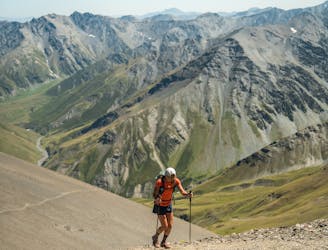
Stage two of the adventure continues over Atsunta Pass (3431m)
Difficult Trail Running
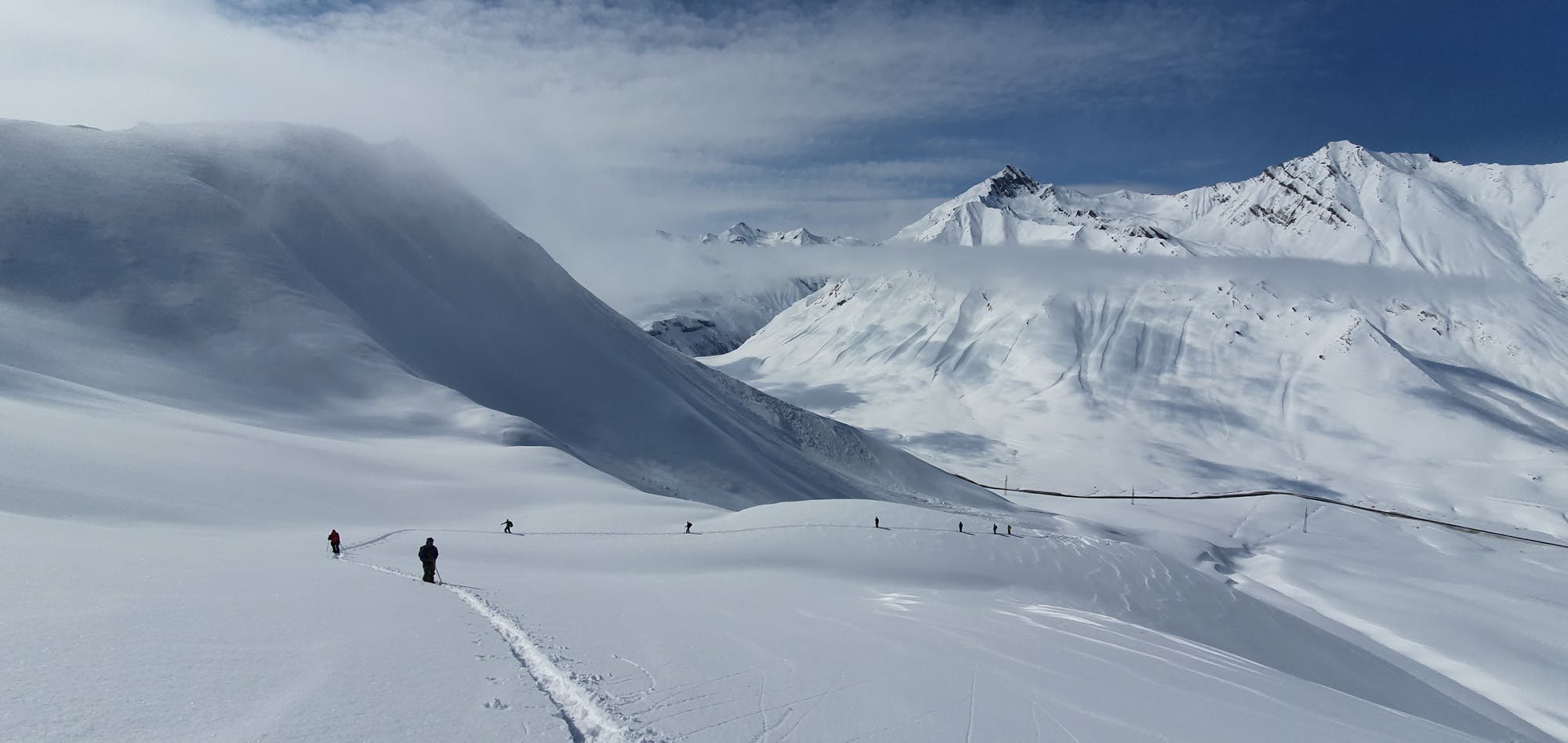
Lift access to a big ridge/spine line with smaller spine drop-offs, many variations available with this line but is also a rocky terrain to look out for.
Difficult Freeride Skiing