Nordmarka på langs
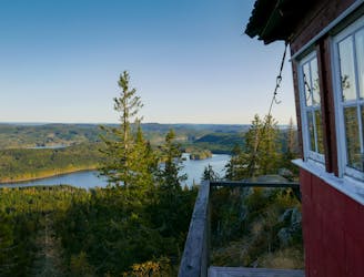
Grua-Kollern-Svartstjernshøgda- Pershusfjellet- Kjerkeberget-Kikut-Kikutstua-Liggern- Skar Fantastisk tur. Langt og seig.
Difficult Trail Running
- Distance
- 60 km
- Ascent
- 2.2 km
- Descent
- 2.4 km
Explore Akershus with curated guides of the best routes. With over 1 3D trail maps in FATMAP, you can easily discover and navigate the best trails in Akershus.
No matter what your next adventure has in store, you can find a guide on FATMAP to help you plan your next epic trip.
Get a top trail recommendation in Akershus, or get inspired by the 1 local adventures uploaded by the FATMAP community. Start exploring now!
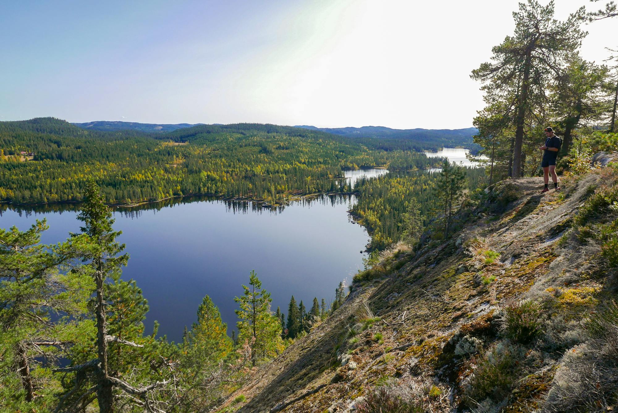
Grua-Kollern-Svartstjernshøgda- Pershusfjellet- Kjerkeberget-Kikut-Kikutstua-Liggern- Skar Fantastisk tur. Langt og seig.
Difficult Trail Running