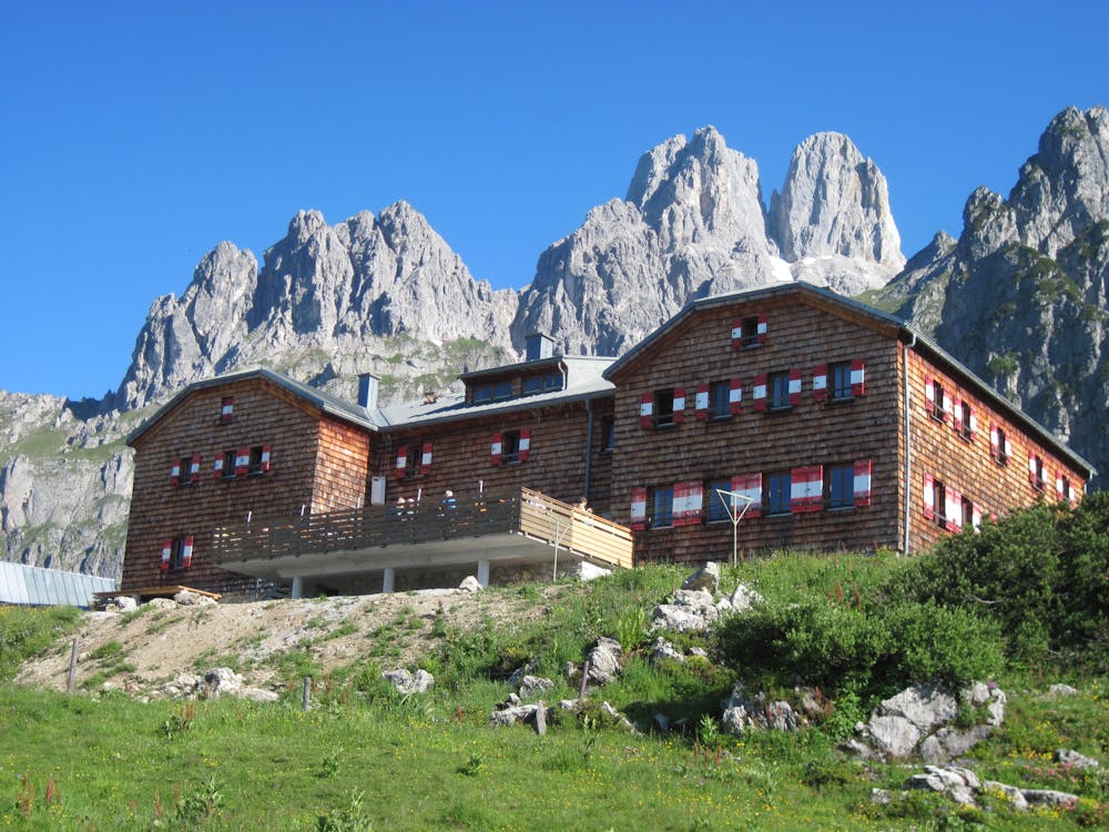
BergeSeen Trail Etappe 25: Hofpürglhütte - Adamekhütte
Dachstein Salzkammergut
Guided tour: Hofpürglhütte - Reißgangsattel - Hochkesseleck - Adamekhütteh
Also in Oberösterreich, Austria
Hiking Extreme
- Distance
- 8.1 km
- Ascent
- 904 m
- Descent
- 418 m
- Duration
- 3-4 hrs
- Low Point
- 1.7 km
- High Point
- 2.3 km
- Gradient
- 23˚

This hiking trail is characterised by a splendid transition on a rocky path, some of which is very exposed. Sure-footedness, head for heights and alpine experience, as well as stable fair weather are prerequisites for this tour. Special care should be taken when crossing steep snowfields, especially in early summer.from Hofpürglhütte to Hohen Hochkesseleck (3 hours)On trail number 601, the hike begins in a northerly direction, descending slightly into the Karmulde below the Steiglpass (junction of the trail over the Steiglpass to the Vorderen Gosausee). To the right you continue under the walls of the Gosaustein, crossing the extensive alpine pastures of the Rinderfeld, then along the source stream of the Warmen Mandling to the junction at large boulders. Here the path number 617 branches off in the direction of Sulzenhals and the Gasthaus Bachlalm, continue to the left on the "Linzer Weg" built in 1905 up to the foot of the wall (on the left there is a small shelter cave) and through the Reißgangschlucht (Reißgangschlucht) up to the Reißgangscharte, 1952 m. From the saddle turn right in bends, then around a rock spur (wire ropes) and along the rocks into a saddle, approx. 2000m. From here diagonally to the left through the wall up to the ridge height and to the Niederen Hochkesseleck, 2108 m. Now it continues flat, then over flat rock (wire rope) up to the Hohe Hochkesseleck, 2281 m.From the Hohen Hochkesseleck to the Adamekhütte (2 ½ hours)Now the trail continues through the northeast flank of the Hochkesseleck diagonally to the right down to the beginning of the mighty Kares below the Eiskarlspitz. Through the Kar you continue to the junction of the path to the Windlegerscharte and soon after you reach the rocky structure of the Torteineck, which is climbed with the help of iron pins and steel sides. The route continues around the foothills of the Schneebergwand and soon afterwards the moraine ridge of the Großer Gosaugletscher is reached. Over steep, polished rock slabs we cross to the Adamekhütte, already visible from afar.
Difficulty
Extreme
Scrambling up mountains and along technical trails with moderate fall exposure. Handholds are necessary to navigate the trail in its entirety, although they are not necessary at all times. Some obstacles can be very large and difficult to navigate, and the grades can often be near-vertical. The challenge of the trail and the steepness of the grade results in very strenuous hiking. Hikes of this difficulty blur the lines between "hiking" and "climbing".