10 routes · Hiking
After an initial strenuous ascent, the cosy hike follows
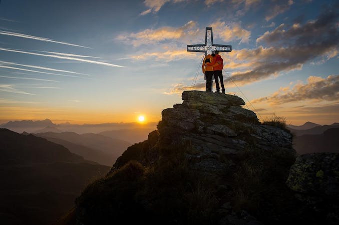
Also in Tirol, Austria
Hiking Difficult

This is a popular hiking route which is generally considered to be difficult. It's an unknown remoteness, it features unknown exposure and is typically done in an unknown time of year. From a low point of 1.5 km to the maximum altitude of 1.9 km, the route covers 4.7 km, 436 vertical metres of ascent and 2 vertical metres of descent.
Follow the Hasenbachweg along the forest and meadows, under the Reiterkogelbahn through to Reiterkogel and continue to Kolling. Cross the Saalachpromenade back to Hinterglemm or return with the hiking bus.
Difficult
Hiking trails where obstacles such as rocks or roots are prevalent. Some obstacles can require care to step over or around. At times, the trail can be worn and eroded. The grade of the trail is generally quite steep, and can often lead to strenuous hiking.
10 routes · Hiking