Dachsteinrunde schwarze Variante - Etappe 1
Dachstein Salzkammergut
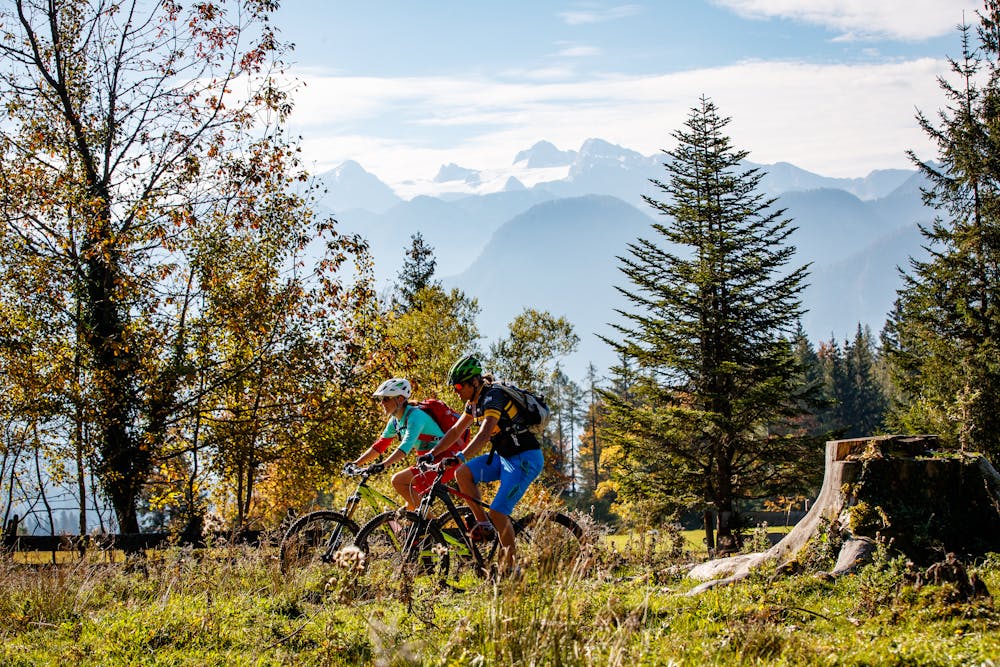
The Dachstein Circuit through three federal states around the highest mountain in Upper Austria is in itself a special highlight for mountain bikers. In the black version with the highest degree of difficulty, however, it inspires with additional single trails as a challenge for technically experienced bikers.
Also in Oberösterreich, Austria
Mountain Biking Extreme
- Distance
- 95 km
- Ascent
- 3.1 km
- Descent
- 2.8 km
- Duration
- 1 day +
- Low Point
- 479 m
- High Point
- 1.5 km
- Gradient
- 8˚

Bad Goisern, Weißenbach, Lauffen, Ewige Wand, Hotel Predigtstuhl, Roßmoosalm, flea meadows, Waldgraben, Dimmelberg, Puchern, riders, Sarstein, Unterkainisch, Ödensee, Steinitzenalm, Salzastausee, Russenbachahm, Viehbergalm, Rahnstube, ovens, Winkl, Gröbming. "Order a map of the Dachstein Round ...In emergencies please call the Austrian mountain rescue at the emergency numberTour 360° Dachstein Salzkammergut Panorama Tour ...In the area of Aussee (Sommersbergsee) it is currently impossible to drive on the car park Sommersbergsee. "http://www.kleinezeitung.at/steiermark/ennstal/5214601/Bad-AusseeSommersbergseeBadesaison-faellt-ins-Wasser" http://www.kleinezeitung.at/steiermark/ennstal/5214601/Bad-AusseeSommersbergseeBadesaison-faellt-ins-Wasser "http://www.kleinezeitung.at/steiermark/ennstal/5214601/Bad-AusseeSommersbergseeBadesaison-faellt-ins-Wasser
Difficulty
Extreme
Very steep, difficult, narrow singletrack with widely variable and unpredictable trail conditions. Unavoidable obstacles could be 15in/38cm tall or greater, and unavoidable obstacles with serious consequences are likely to be present. Obstacles could include big rocks, difficult root sections, drops, jumps, sharp switchbacks, and more. Ideal for expert-level riders.