Tour de Rila
Mountain bike tour around Rila mountains
Also in Blagoevgrad, Bulgaria • Kyustendil, Bulgaria • Pazardzhik, Bulgaria
Mountain Biking Difficult
- Distance
- 321 km
- Ascent
- 7.8 km
- Descent
- 7.8 km
- Duration
- 1 day +
- Low Point
- 407 m
- High Point
- 2 km
- Gradient
- 7˚

This is a popular mountain biking route which is generally considered to be difficult. It's remote, it features medium exposure and is typically done between June and September. From a low point of 407 m to the maximum altitude of 2 km, the route covers 321 km, 7831 vertical metres of ascent and 7829 vertical metres of descent.
- •
- •
- •
- •
- •
- •
- •
- •
- •
- •
- •
- •
- •
- •
- •
- •
- •
- •
Description
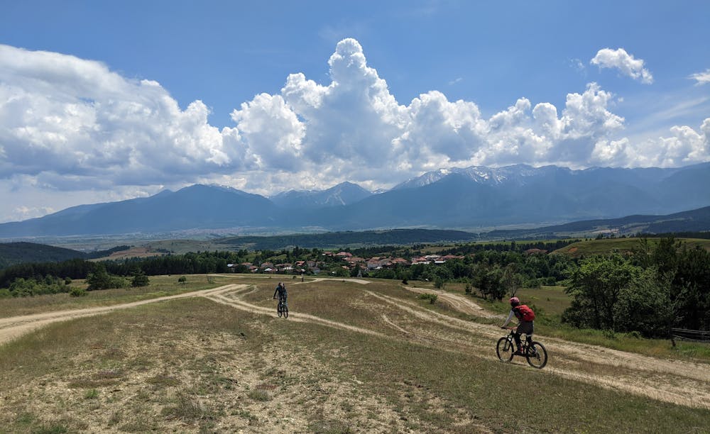
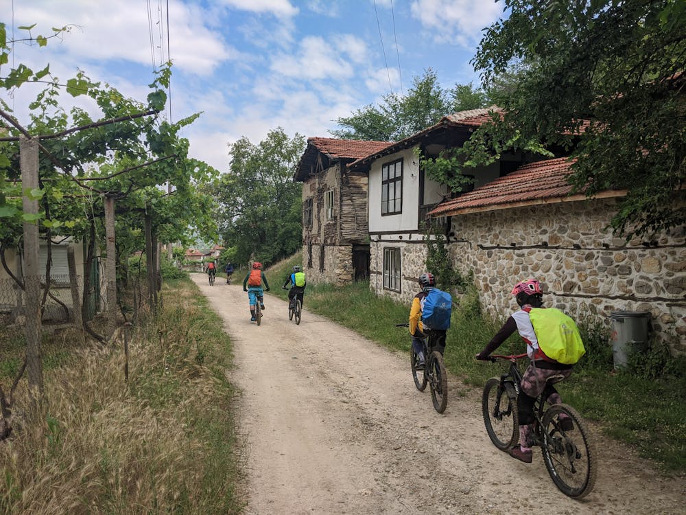
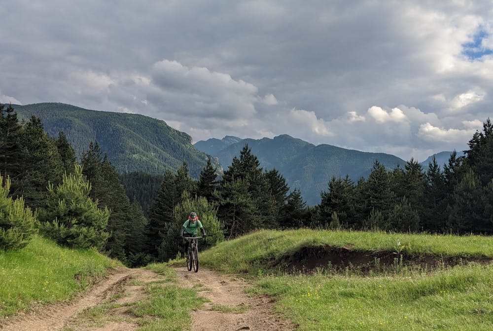
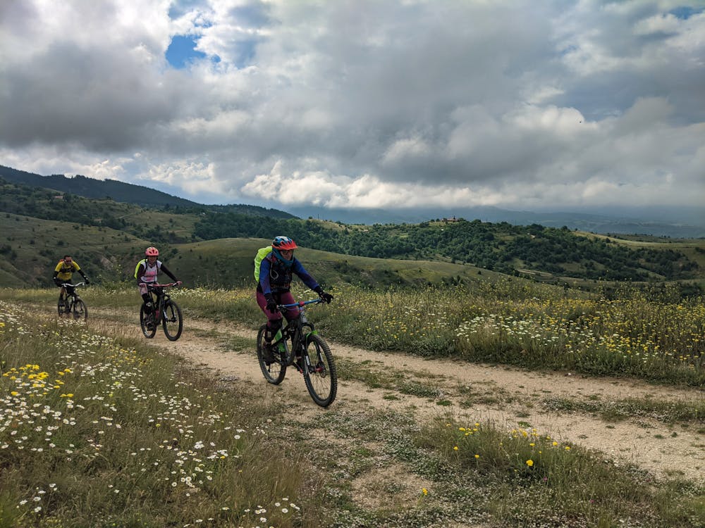
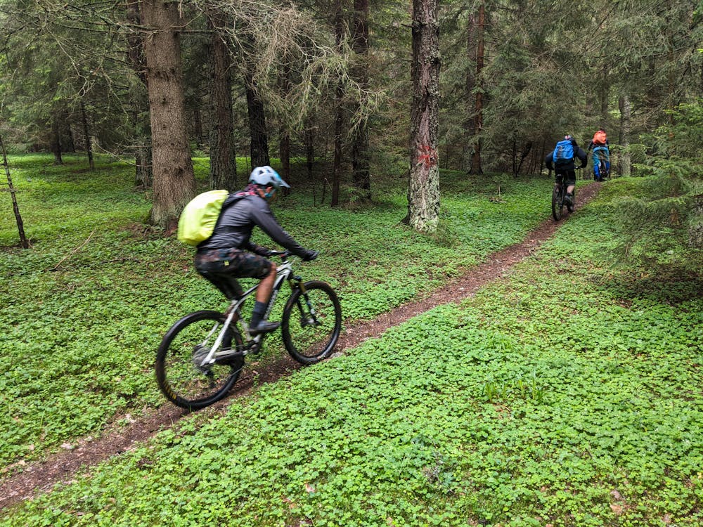
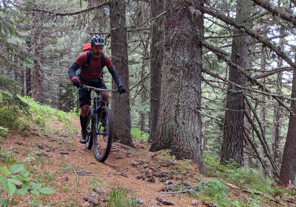
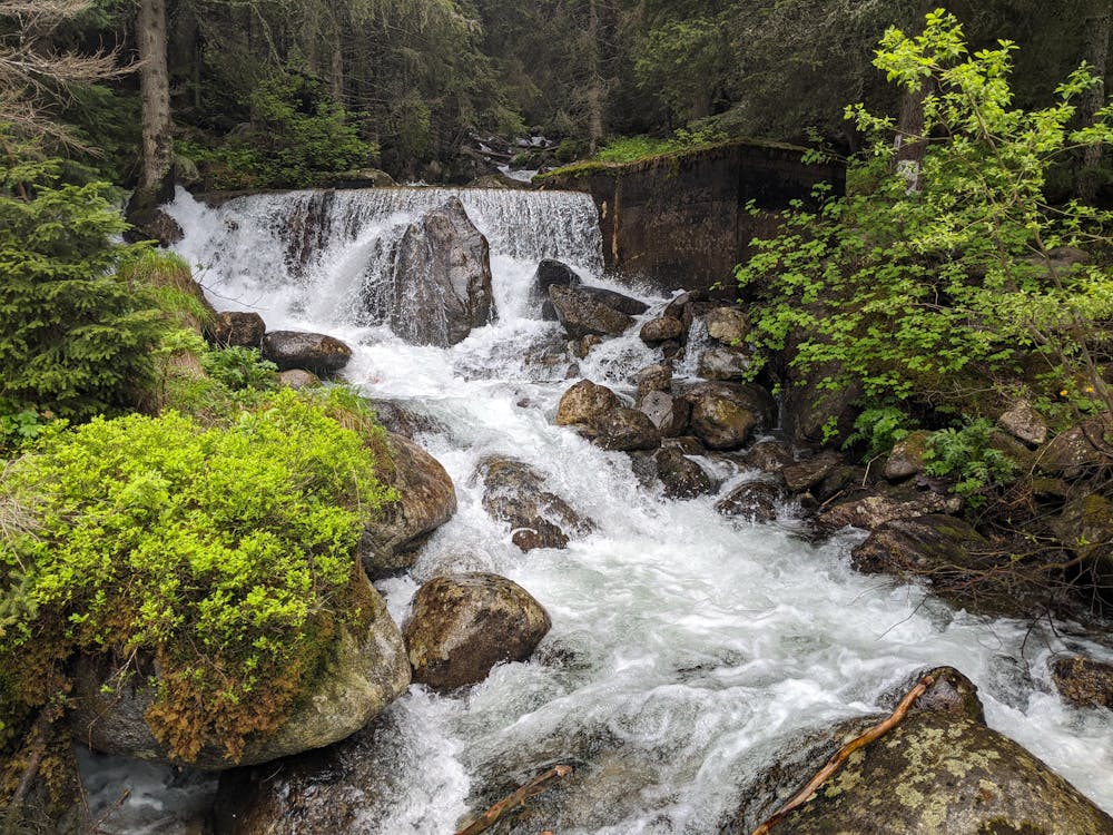
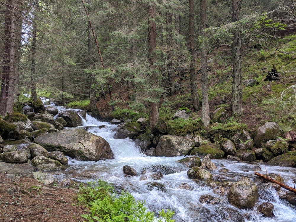
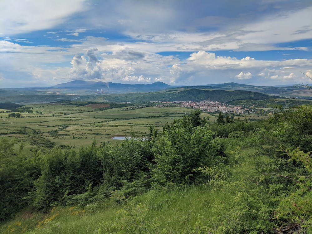
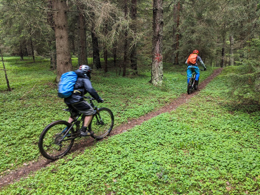
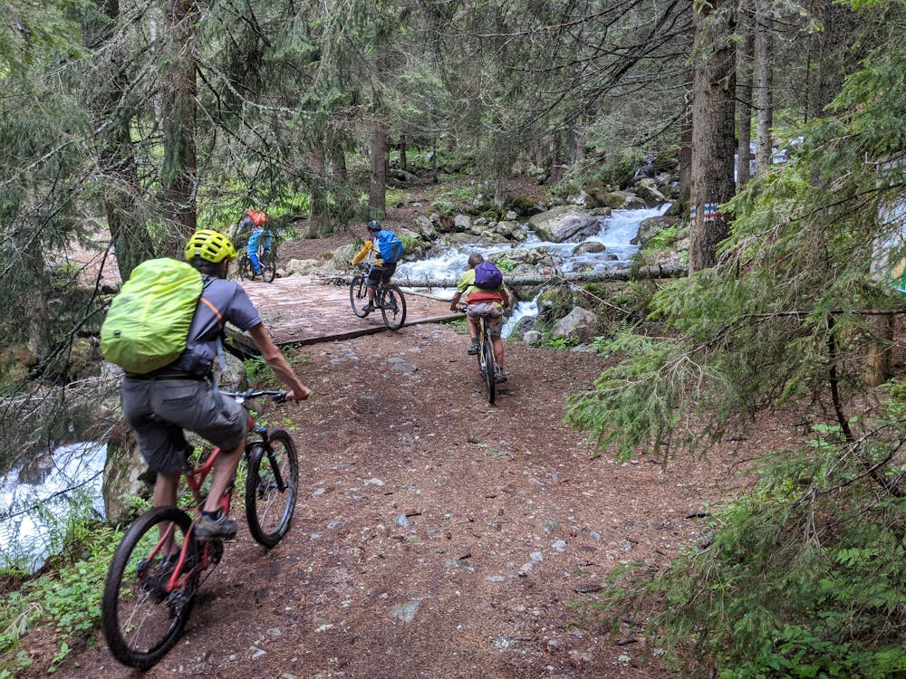
7 days tour around the Rila mountains is Southern Bulgaria. Starts from the village of Kostenets , 90 km south from Sofia. The route follows an average altitude level of 1700 m a.s.l. and crosses beautiful mountain landscapes, rivers and picturesque villages.
Difficulty
Difficult
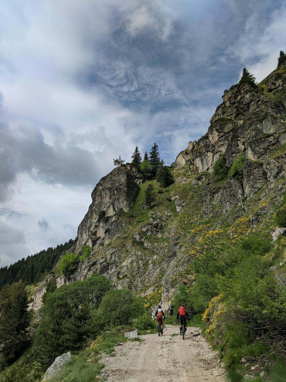
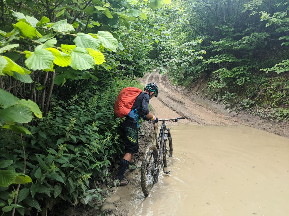
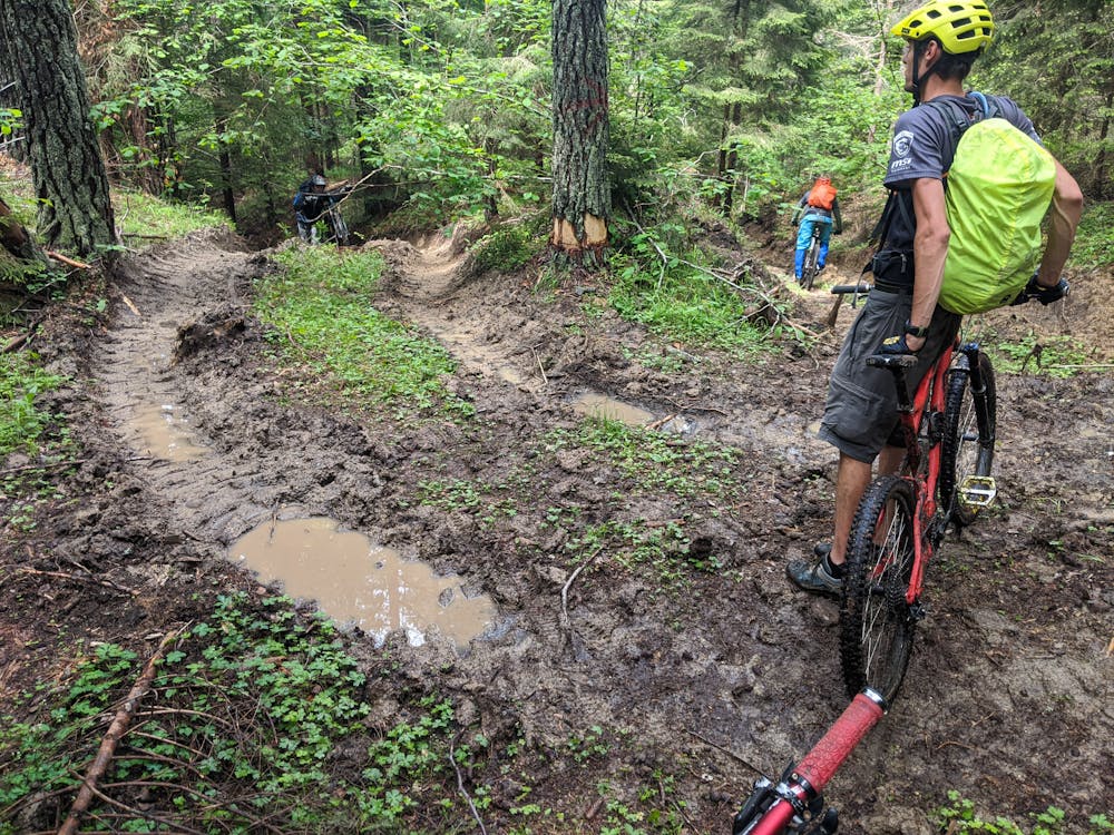
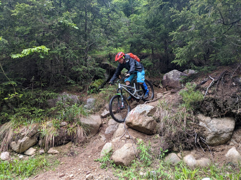
Mostly stable trail tread with some variability featuring larger and more unavoidable obstacles that may include, but not be limited to: bigger stones, roots, steps, and narrow curves. Compared to lower intermediate, technical difficulty is more advanced and grades of slopes are steeper. Ideal for upper intermediate riders.
Medium Exposure

The trail contains some obstacles such as outcroppings and rock which could cause injury.
Remoteness
Away from help but easily accessed.
Best time to visit
Features
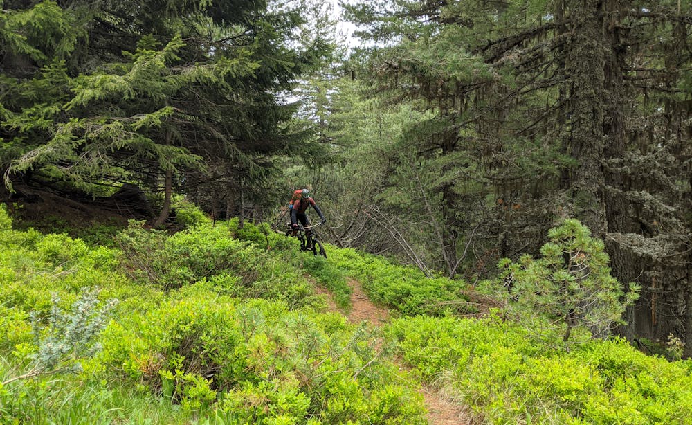
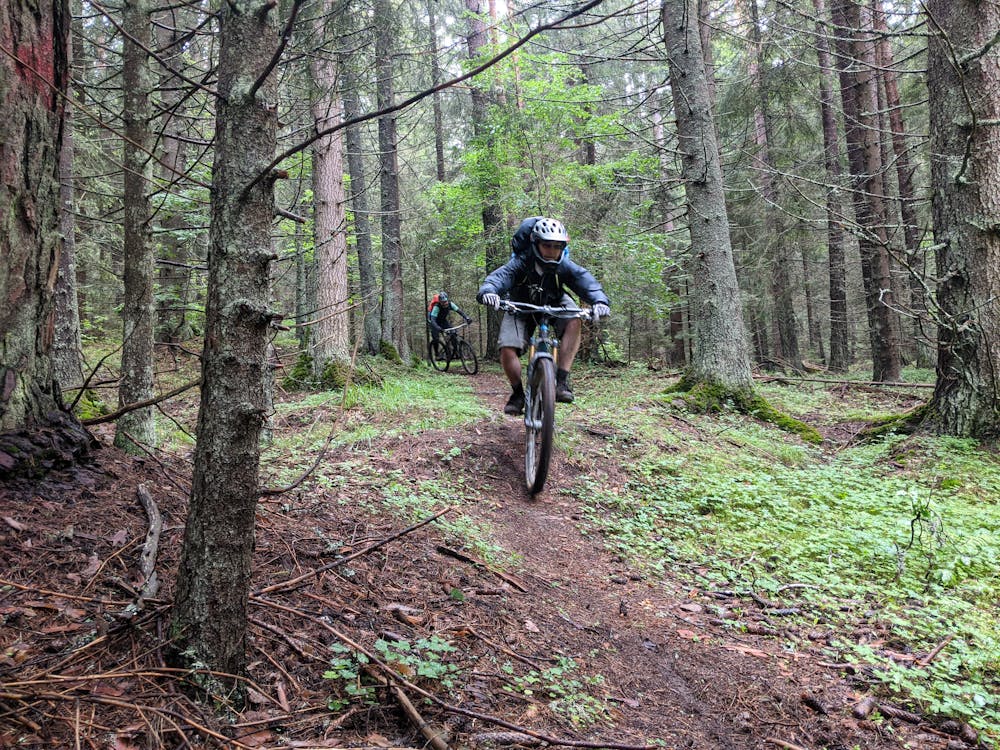
- Flow
- Hike a bike
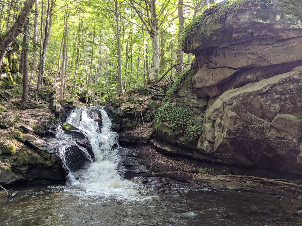
- Picturesque
- Singletrack
- In the forest
- Road sections
- Roots
- Rock Rolls