
10 routes · Hiking
Hike from Bolzano to Lake Guarda along the longest of the Alta Via Dolomiti routes.
Also in Brescia, Italy • Trento, Italy
Hiking Severe

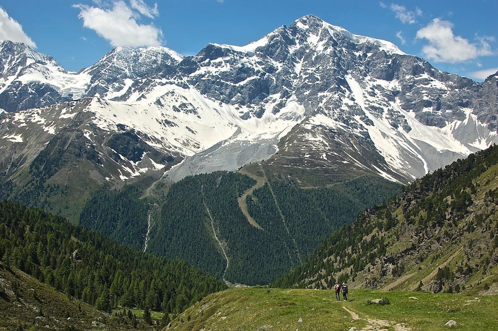
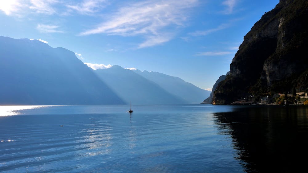
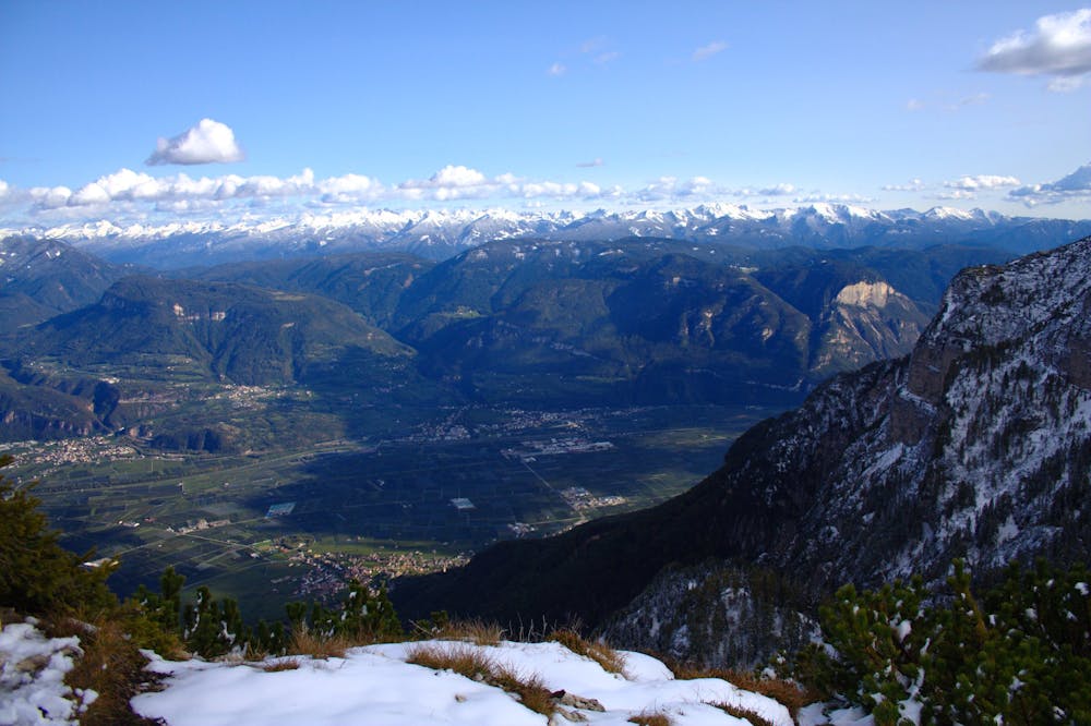
The Alta Via Dolomiti 10 starts in the craggy mountains of Bolzano and ends on the glistening shores of Lake Guarda. At 200km in length, it’s the longest of all of the 10 Alta Via’s and takes around 18-22 days to complete. The trail passes through the mountainous area west of the Adige Valley and crosses the Mendola ridge, Brenta Group, and the Val-di-Ledro Alps. The route leads you through wild and remote landscapes with many changes in elevation. A lot of the stretches between huts are long, and basic amenities can be hard to come by. The trail is suitable for a range of abilities because when you reach the more treacherous points which demand climbing experience, there are usually easy-going bypasses. Sources https://www.dolomiti.it/it/itinerari/alte-vie/alta-via-n-10-da-bolzano-al-lago-di-garda/
Severe
Hiking challenging trails where simple scrambling, with the occasional use of the hands, is a distinct possibility. The trails are often filled with all manner of obstacles both small and large, and the hills are very steep. Obstacles and challenges are often unexpected and can be unpredictable.

Some trail sections have exposed ledges or steep ascents/descents where falling could cause serious injury.
Little chance of being seen or helped in case of an accident.
10 routes · Hiking