Toano - San Pellegrino
Pellegrinaggio Toano - San Pellegrino
Also in Lucca, Italy • Reggio Emilia, Italy
Hiking Difficult
- Distance
- 30 km
- Ascent
- 1.6 km
- Descent
- 898 m
- Duration
- 1 day +
- Low Point
- 497 m
- High Point
- 1.6 km
- Gradient
- 9˚

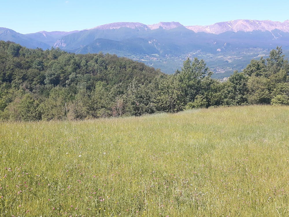
This is a popular hiking route which is generally considered to be difficult. It's very remote, it features medium exposure and is typically done between April and October. From a low point of 497 m to the maximum altitude of 1.6 km, the route covers 30 km, 1556 vertical metres of ascent and 898 vertical metres of descent.
Description
Splendida escursione Appennino Tosco Emiliano da 854 mt. a 1.525 mt. s.l.m.
Difficulty
Difficult
Hiking trails where obstacles such as rocks or roots are prevalent. Some obstacles can require care to step over or around. At times, the trail can be worn and eroded. The grade of the trail is generally quite steep, and can often lead to strenuous hiking.
Medium Exposure

The trail contains some obstacles such as outcroppings and rock which could cause injury.
Remoteness

Little chance of being seen or helped in case of an accident.
Best time to visit
Features
- Alpine
- Historical
- Picturesque
- Wild flowers
- Forestry or heavy vegetation