8 routes · Hiking
Stage 7 of the magnificent high alpine trail through Liguria.
Also in Genova, Italy • La Spezia, Italy
Hiking Difficult
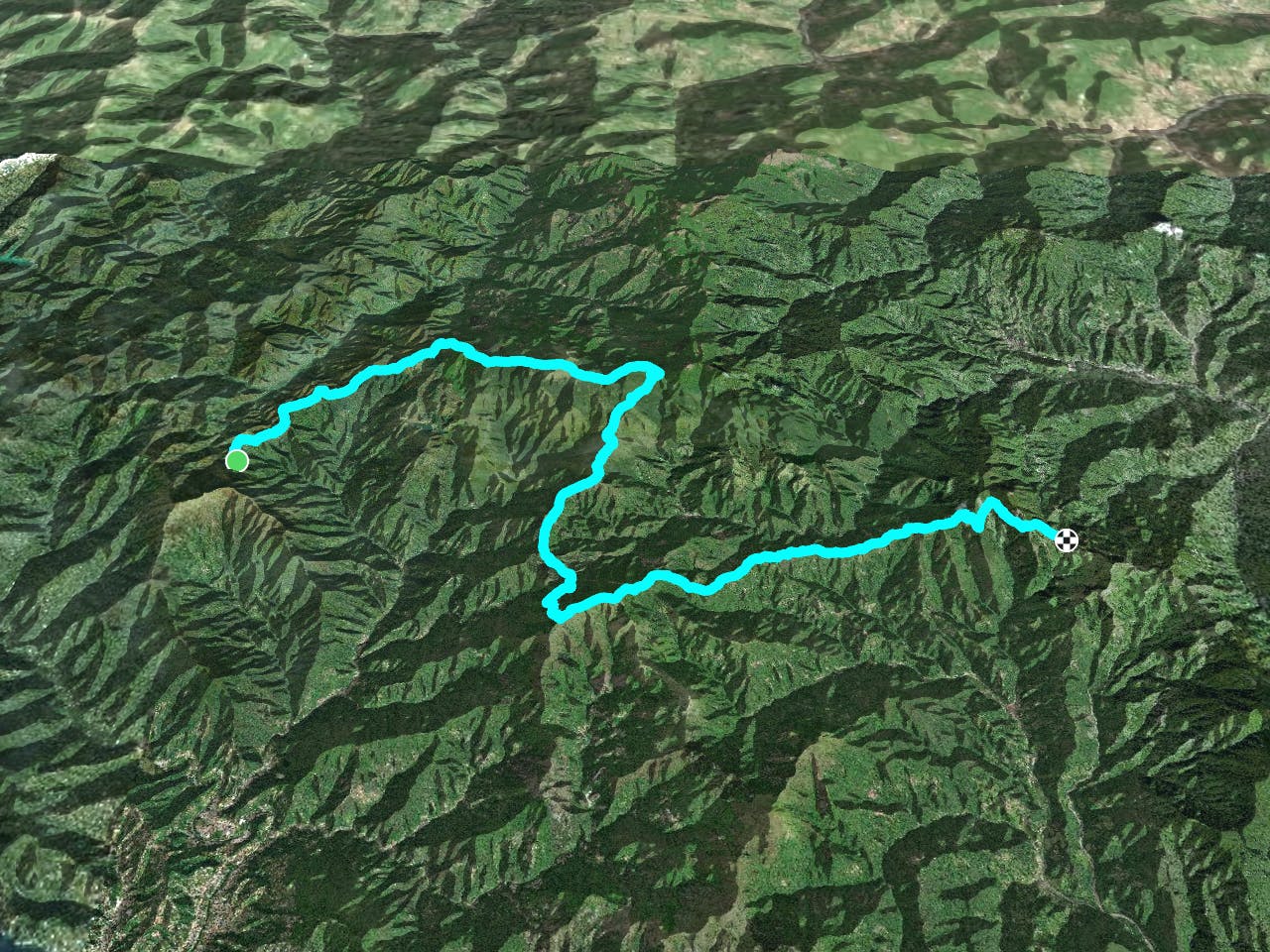
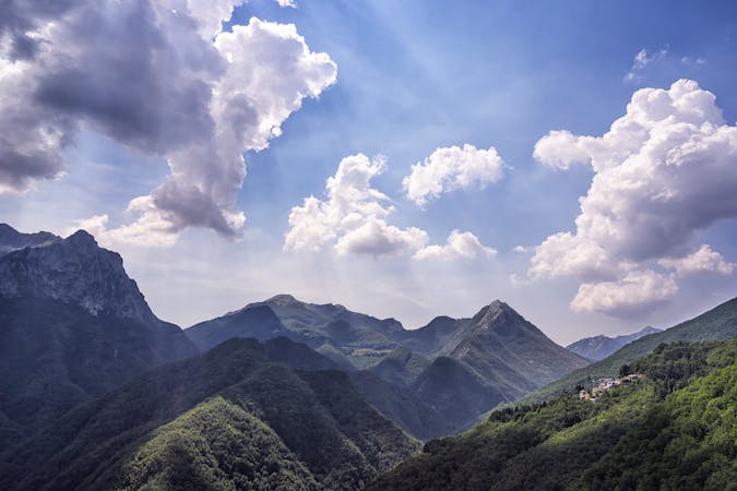
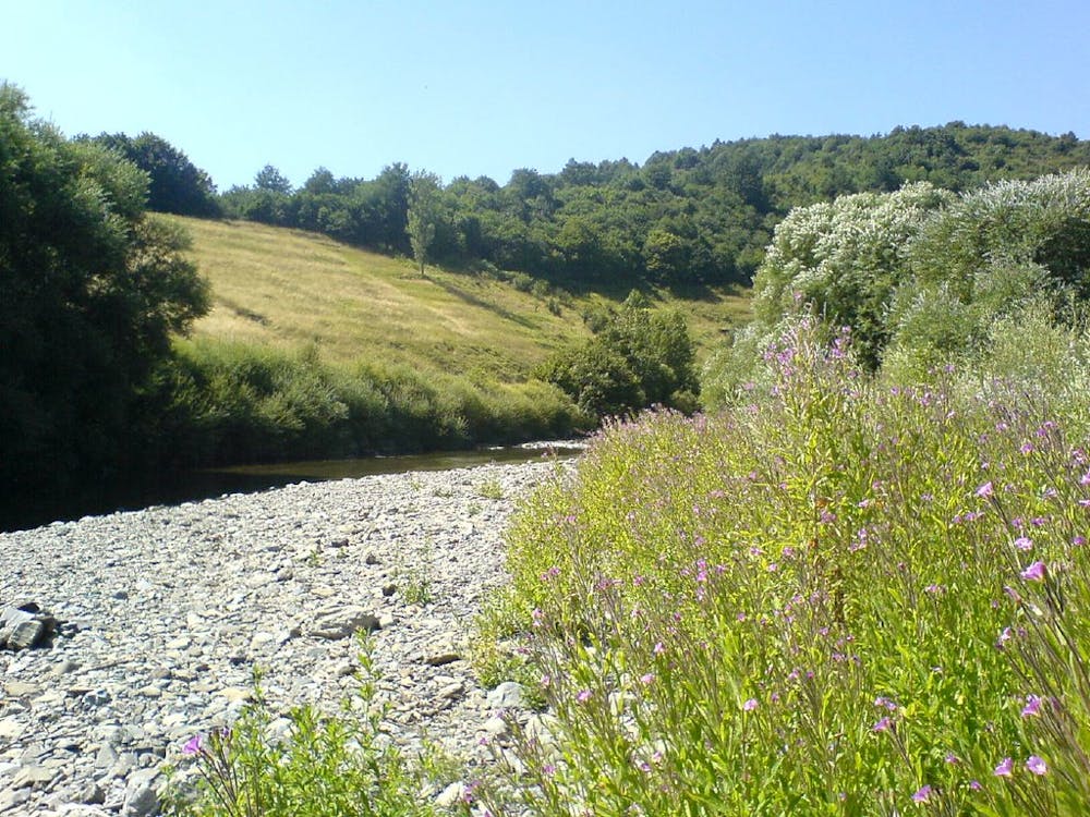
The path takes you right through the magnificent Aveto Regional National Park, famous for its rich diversity and beautiful landscapes. Just after the Cappelletta delle Lame, you will come to a series of linked glacial lakes and frozen canals lying on the western slopes of Mt. Aiona and between Mt. Penna and the Incisa Pass. Continue on past Mt. Zatta through a beech forest. When you emerge on the other side you will come to the ancient pass between Genoa and Parma, the Passo di Cento, and then on to the Passo della Cappelletta. You can leave the main trail and duck down to Varese Ligure for lodgings. Sources
Difficult
Hiking trails where obstacles such as rocks or roots are prevalent. Some obstacles can require care to step over or around. At times, the trail can be worn and eroded. The grade of the trail is generally quite steep, and can often lead to strenuous hiking.

Some trail sections have exposed ledges or steep ascents/descents where falling could cause serious injury.

Away from help but easily accessed.
8 routes · Hiking