Monte Amaro dalla Rava del Ferro - Sentiero B5
Rava del Ferro - Monte Amaro (Sentiero B5)
Also in Chieti, Italy • L'Aquila, Italy
Hiking Severe
- Distance
- 4.7 km
- Ascent
- 1.3 km
- Descent
- 5 m
- Duration
- 2-3 hrs
- Low Point
- 1.5 km
- High Point
- 2.8 km
- Gradient
- 28˚

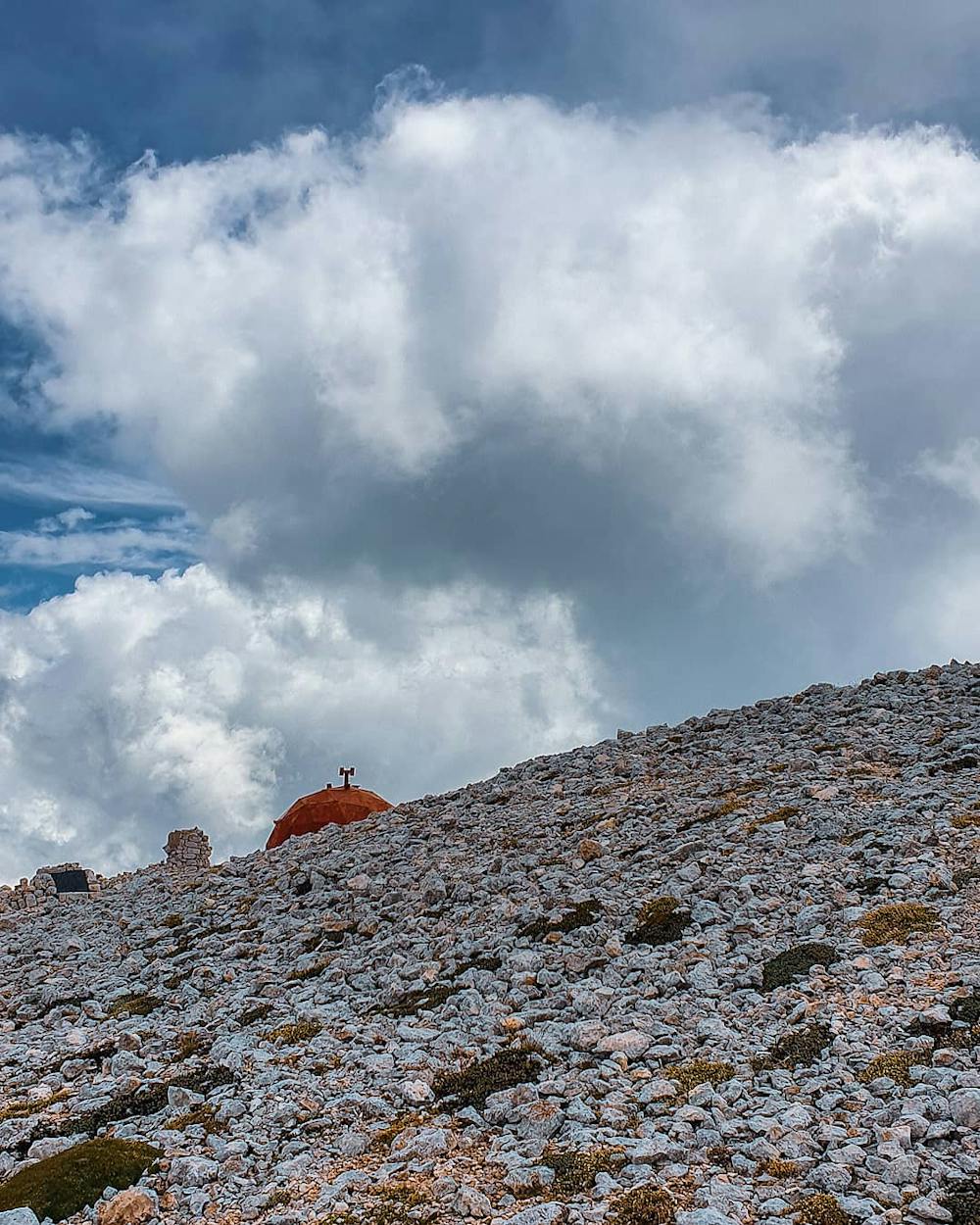
This is a popular hiking route which is generally considered to be severe. It's remote, it features medium exposure and is typically done between May and September. From a low point of 1.5 km to the maximum altitude of 2.8 km, the route covers 4.7 km, 1277 vertical metres of ascent and 5 vertical metres of descent.
Description
Rava del Ferro - Monte Amaro (Sentiero B5)
Difficulty
Severe
Hiking challenging trails where simple scrambling, with the occasional use of the hands, is a distinct possibility. The trails are often filled with all manner of obstacles both small and large, and the hills are very steep. Obstacles and challenges are often unexpected and can be unpredictable.
Medium Exposure

The trail contains some obstacles such as outcroppings and rock which could cause injury.
Remoteness
Away from help but easily accessed.
Best time to visit
Features
- Alpine
- Wildlife
- Picturesque
- Summit Hike
- Dog friendly