4.7 km away
Gharb to Marsalforn
Explore Gozo's deserted north coast
Moderate Mountain Biking
- Distance
- 9.4 km
- Ascent
- 96 m
- Descent
- 215 m

A ride almost all on tarmac, this is basically a good excuse to visit 2 of Gozo's best swimming spots!
Also in Għajnsielem, Malta • Xagħra, Malta • Żebbuġ, Malta
Mountain Biking Easy

Despite the lack of "real" mountain biking on this route, the scenery it takes you through is fantastic, and the notoriously bumpy roads on Gozo make this feel rougher than many off-road routes!
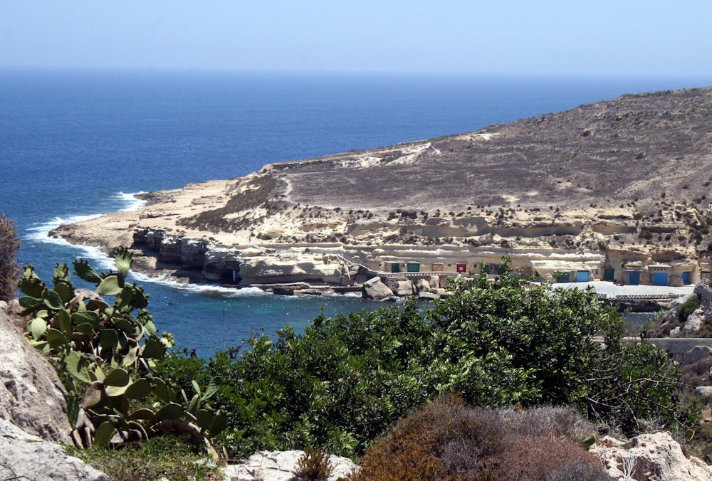
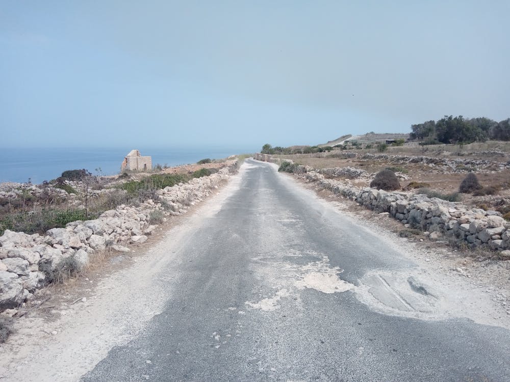
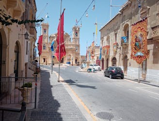
The route has a tough start - the climb up to Xaghra from Marsalforn is a hard one and it gets the early morning sun so you'll likely be sweating within minutes of saddling up! Upon reaching the edge of Xaghra, head towards the village centre and then branch off left and make the very steep descent down towards Ramla Bay. The descent is fun and scenic, but you'll be living on the brakes all the way!
Either take a stop at Ramla Bay, or continue riding and make a second climb - this time to the edge of Nadur. Go towards the village centre and then turn left and make the long descent down to Dahlet Qorrot - a truly epic bay which offers superb swimming and snorkelling.
Take a dip, grab an ice cream and lower your core temperature before retrospectively earning that ice cream and making the long climb up to Qala village. The journey over to Qala is wonderful, with the high road it follows across Gozo's interior having a desolate ambience all of its own.
On the far side of Qala descend down to Hondoq Bay - another beautiful swimming spot which, with its turquoise water and white sand, is what the Mediterranean is all about. Another swim and ice cream is recommended before you climb back up Qala and make the final descent of the day down to the bustling harbour of Mgarr.
Easy
Mostly smooth and non-technical singletrack with unavoidable obstacles 2in/5cm tall or less. Avoidable obstacles may be present. Ideal for beginner riders.
4.7 km away

Explore Gozo's deserted north coast
Moderate Mountain Biking
5.9 km away
A cruisy and scenic ride which is mainly on roads and good tracks.
Moderate Mountain Biking
6.3 km away
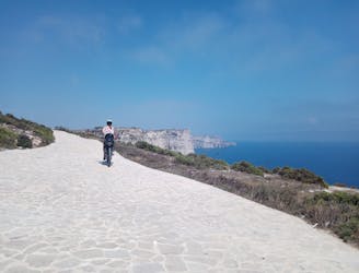
A scenic cruise on dusty roads and cliff-top tracks.
Moderate Mountain Biking
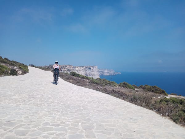
4 routes · Mountain Biking