7 routes · Hiking
The final day of the 7-day hike along the Via Alpina from the Italian Alps to Monaco.
Also in Alpes-Maritimes, France
Hiking Moderate

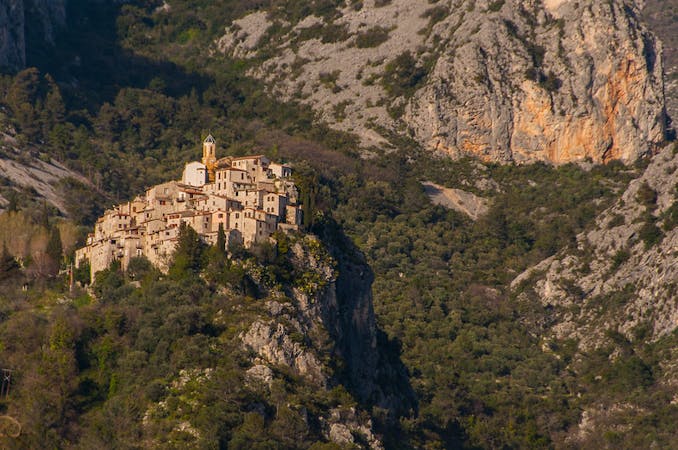
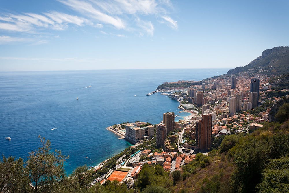
Leave the village of Peillon via the GR51B and then head onto the final stage of the Via Alpina Red trail. This trail will lead you through the village of La Turbie, and descend down into Monaco, affording you fantastic views of the Mediterranean as you go. You’ll end your day and the 7-day hike in the ceremonious and elegant Palais Square. Here you will find the inaugural plaque of the Via Alpina. Add your name to the list of adventurers at the Exotic Garden. Here you can sign the Via Alpina Guestbook and receive an official Via Alpina stamp to document your achievement!
Moderate
Hiking along trails with some uneven terrain and small hills. Small rocks and roots may be present.
7 routes · Hiking