Pieterpad
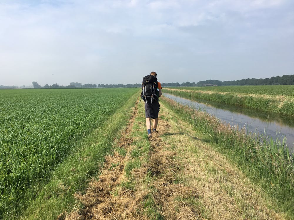
Although not known for its hiking, the Netherlands is in fact home to this wonderful 498 kilometre (309 mile) hike from Pieterburen, in the northern part of Groningen, to end just south of Maastricht, on the top of Mount Saint Peter (St Pietersberg), at a height of 109 metres (358 feet)
Also in Drenthe, Netherlands • Friesland, Netherlands • Groningen, Netherlands • Overijssel, Netherlands
Hiking Moderate
- Distance
- 239 km
- Ascent
- 427 m
- Descent
- 417 m
- Duration
- 1 day +
- Low Point
- -1 m
- High Point
- 74 m
- Gradient
- 1˚

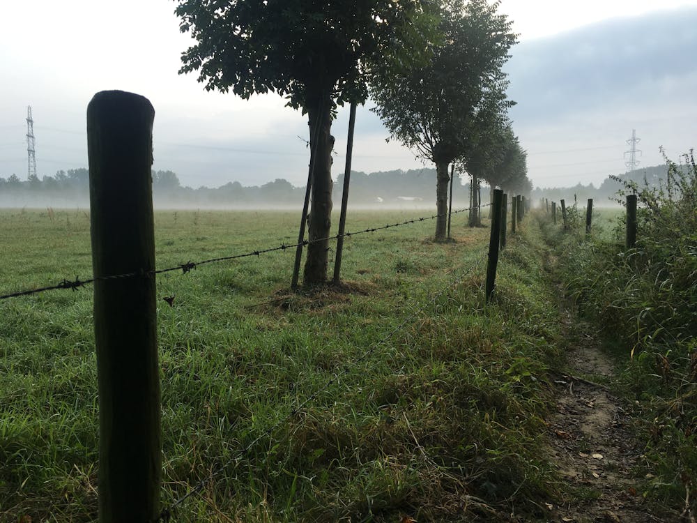
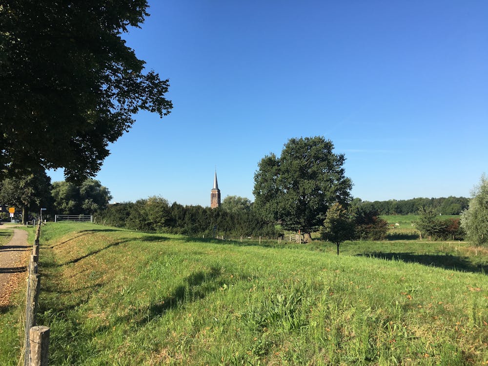
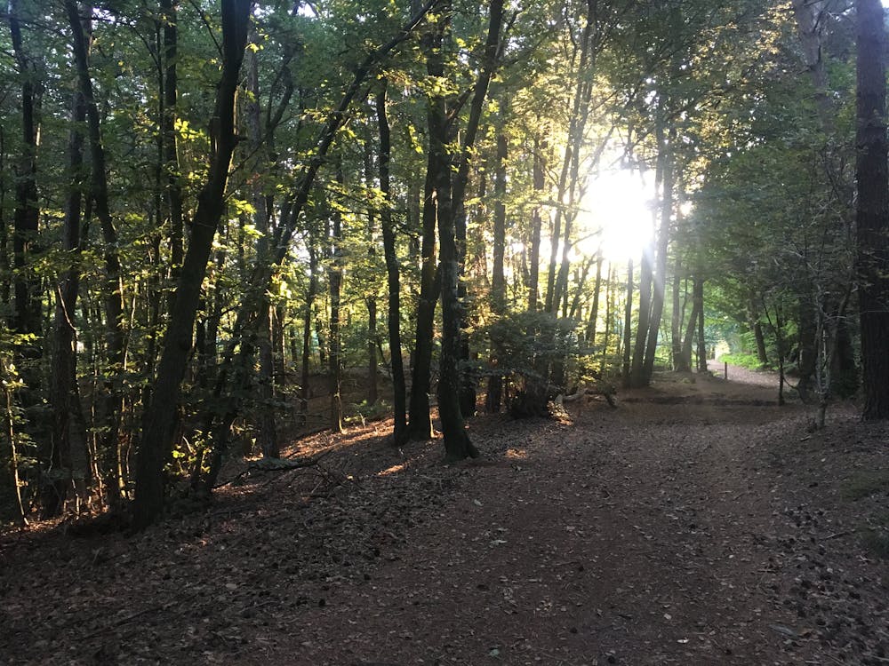
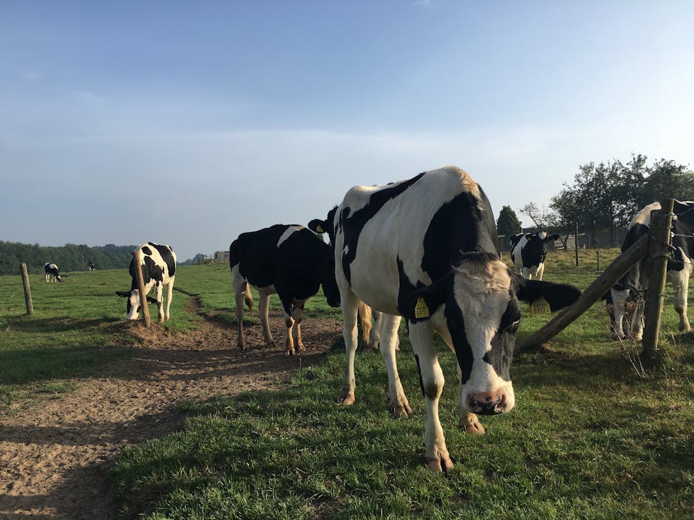
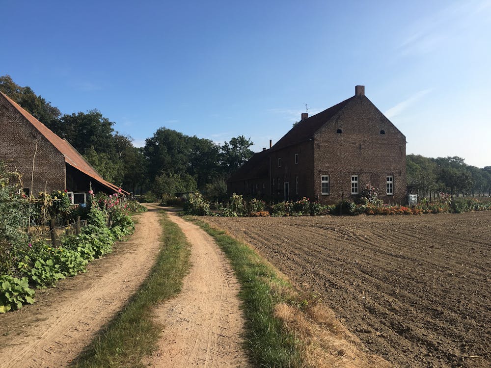
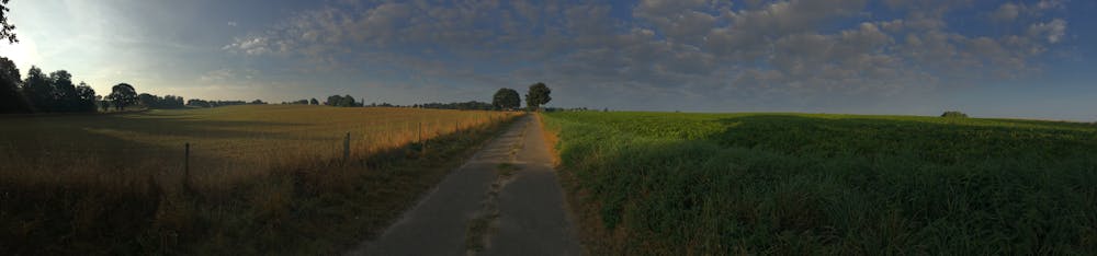
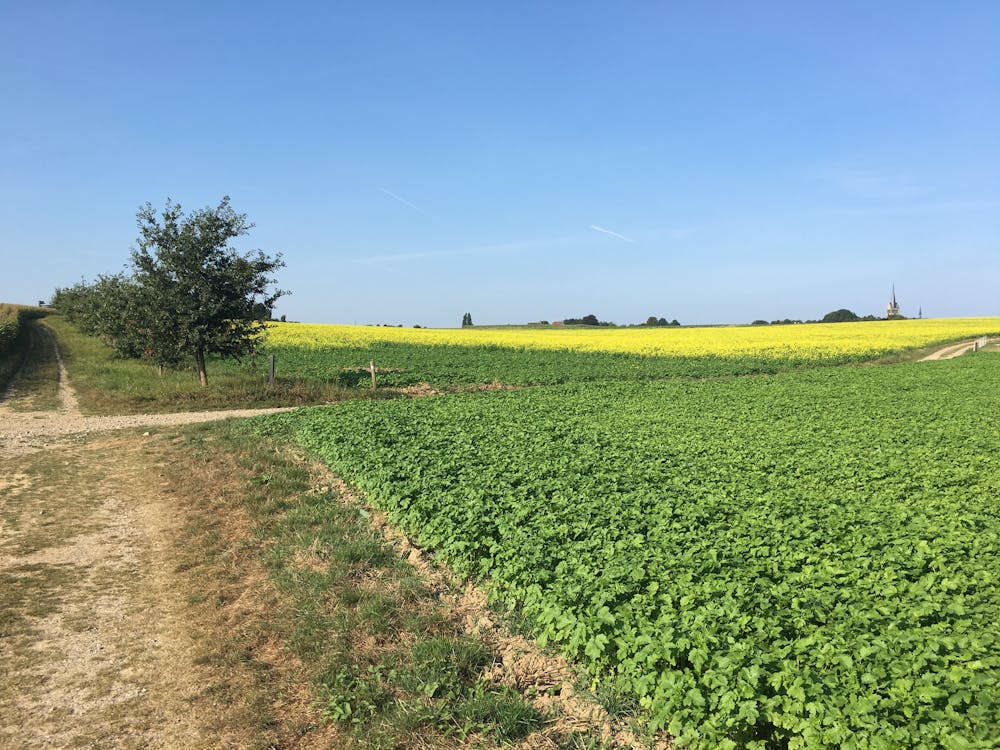
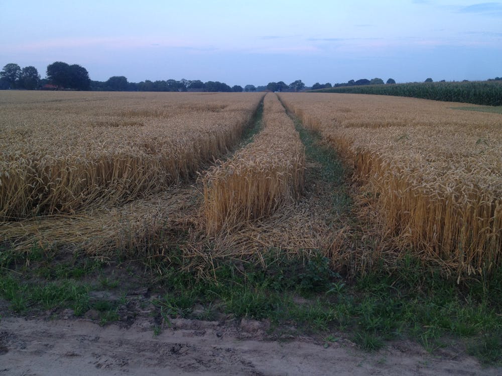
Sitting in what is widely known as the flattest nation on Earth, what this trail lacks in mountains it more than makes up for in peace and quiet. It passes through quiet forests, open fields, charming villages and even some pleasant cities. It is well signposted and clearly marked with red and white paint marks throughout. The fact that it continually moves in and out of settlements makes it easy to access throughout and means that there are plenty of options for accommodation and food. The route has been divided into 26 stages of between 11 and 24 kilometres each, and each stage has been designed so that it has easy access and ample facilities.
- •
- •
- •
- •
- •
- •
- •
- •
- •
Difficulty
Moderate
Hiking along trails with some uneven terrain and small hills. Small rocks and roots may be present.