Girevi to Mutso - Running through the Caucasus
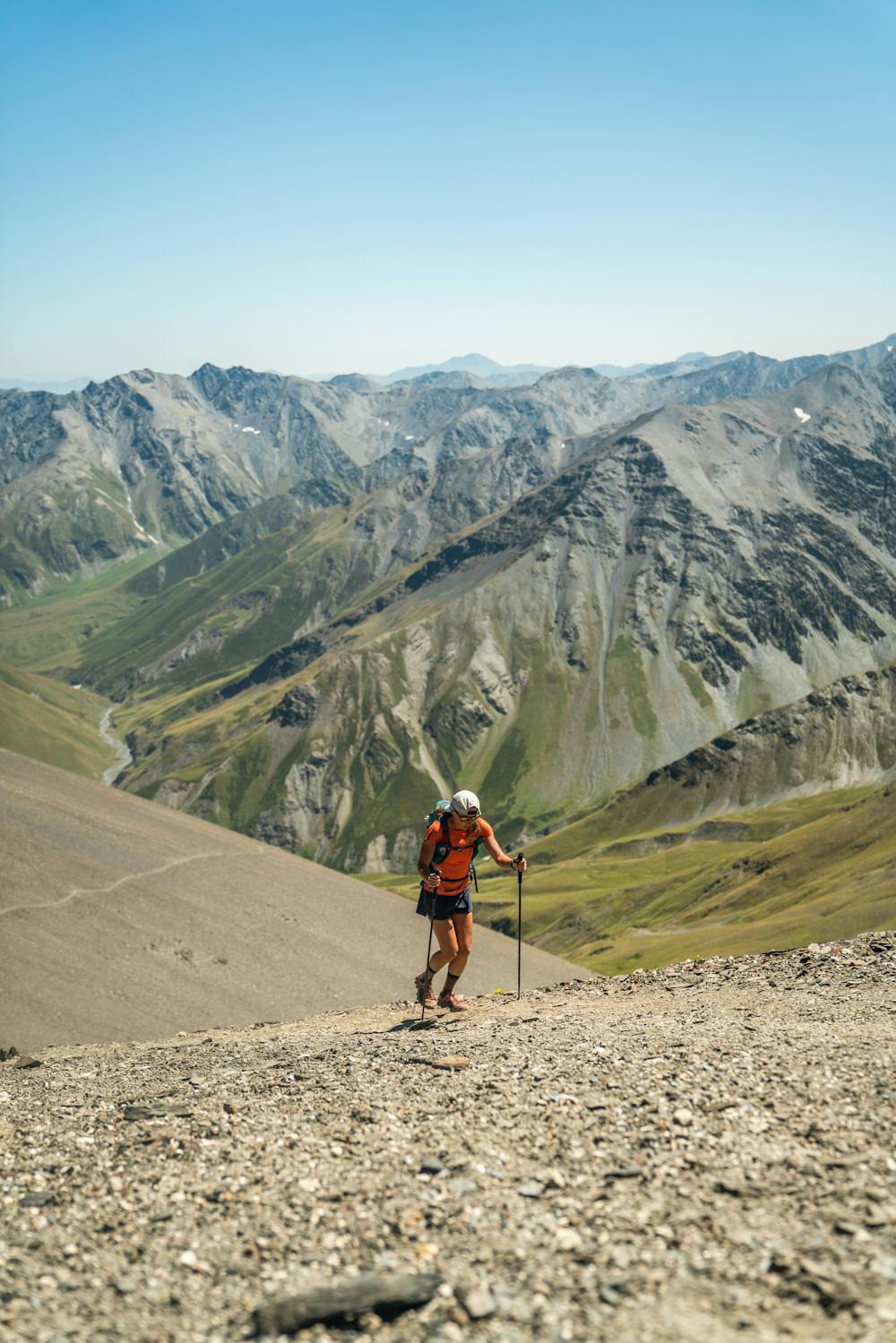
Stage two of the adventure continues over Atsunta Pass (3431m)
Also in Kakheti, Georgia • Mtskheta-Mtianeti, Georgia
Trail Running Difficult
- Distance
- 40 km
- Ascent
- 2.1 km
- Descent
- 2.6 km
- Duration
- 1 day +
- Low Point
- 1.5 km
- High Point
- 3.5 km
- Gradient
- 21˚

After a visit to the border control in Girevi, traverse the trail above the valley. Keep one eye open for shepherd dogs so you can give them a wide berth. The other eye can enjoy the views as the landscape transitions from a deep green valley to a high, barren pass. Make the most of the flowy singletrack as it winds down the west side of the pass. On a clear day, look into the distance for the sharp peaks of the Chaukhi massif which you will reach the following day (yes, really).
Difficulty
Difficult
Medium Exposure

The trail contains some obstacles such as outcroppings and rock which could cause injury.
Remoteness

Little chance of being seen or helped in case of an accident.