Circular Peña Sante - Picos de Europa - ETAPA 3
Picos de Europa
Escarpado con muchos cortados, neveros y grietas
Also in Asturias, Spain
Hiking Difficult
- Distance
- 19 km
- Ascent
- 1.2 km
- Descent
- 2.3 km
- Duration
- 5-6 hrs
- Low Point
- 448 m
- High Point
- 2.2 km
- Gradient
- 19˚
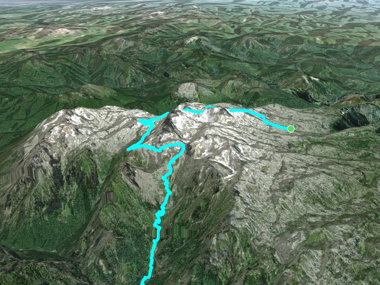
This is a popular hiking route which is generally considered to be difficult. It's very remote, it features medium exposure and is typically done between June and October. From a low point of 448 m to the maximum altitude of 2.2 km, the route covers 19 km, 1234 vertical metres of ascent and 2337 vertical metres of descent.
Description
Desde Vega Redonda subimos y bordeamos el Porru la Mazada por su cara oeste hacia la collada les Merines y seguiremos hacia el refugio de Vega Huerta. Desde aquí iremos hacia los Puertos de Cuba para hacer una travesía hacia el Boquete para bajar hasta Caín.
Difficulty
Difficult
Hiking trails where obstacles such as rocks or roots are prevalent. Some obstacles can require care to step over or around. At times, the trail can be worn and eroded. The grade of the trail is generally quite steep, and can often lead to strenuous hiking.
Medium Exposure

The trail contains some obstacles such as outcroppings and rock which could cause injury.
Remoteness

Little chance of being seen or helped in case of an accident.
Best time to visit
Features
- Alpine
- Picturesque
- Dog friendly