2 km away
Chalet de Loriaz
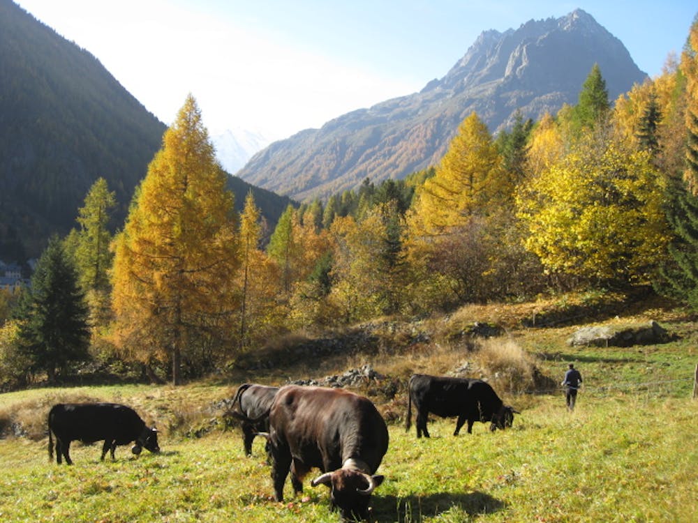
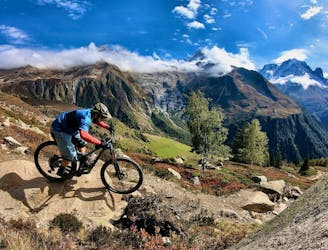
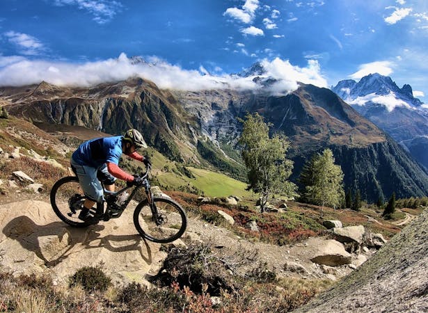
A punishing climb provides access to an incredible descent amid stunning alpine scenery.
Difficult Mountain Biking
- Distance
- 13 km
- Ascent
- 742 m
- Descent
- 742 m
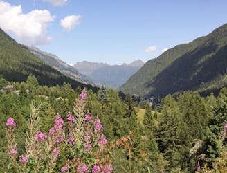
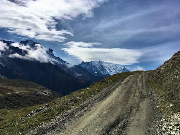
A scenic, easy route that will take you to the edge of the Swiss border
Also in Haute-Savoie, France
Mountain Biking Easy

An easy route that is accessible all year round, though may be subject to light snow during some months of the year. This scenic route is dog-friendly and perfect for families.
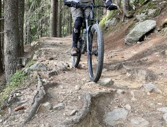
Once at the Buet hamlet, you’ll find the start of the route just behind the Plan-Envers railway station. The trail is a back and forth track and is therefore perfect for those who are not sure how long they want to bike for. The route passes through a number charming hamlets as well as alongside rivers and through meadows.
The trail finishes just short of the Swiss border, so if you’re planning on catching a train from the Le Châtelard-Frontière station (1 km away) remember to pack your passport!
Sources: https://www.chamonix.com/le-chemin-des-diligences,241-668163,en.html
Easy
Mostly smooth and non-technical singletrack with unavoidable obstacles 2in/5cm tall or less. Avoidable obstacles may be present. Ideal for beginner riders.

The path is on completely flat land and potential injury is limited to falling over.
Close to help in case of emergency.
2 km away
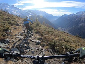
A punishing climb provides access to an incredible descent amid stunning alpine scenery.
Difficult Mountain Biking
2.5 km away
Alternative, less demanding variation on the classic Posettes trail
Difficult Mountain Biking
3.9 km away
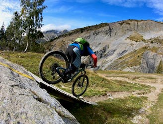
Purpose-built jump/flow line beneath the lifts of Le Tour.
Difficult Mountain Biking
3.9 km away
Les Posettes beginning from and returning to Le Tour lifts.
Severe Mountain Biking
3.9 km away
Stunning alpine scenery reserved for those who don't mind carrying their bike for it!
Extreme Mountain Biking
4.1 km away
One of the smoothest, flowiest benchcut trails in Chamonix.
Difficult Mountain Biking
4.6 km away
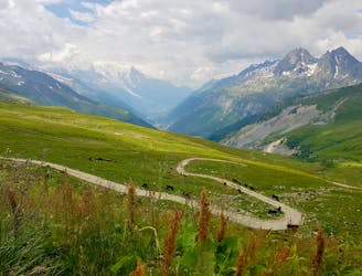
A great loop through terrain which is busy in winter but pleasantly quiet in summer.
Moderate Mountain Biking
14 routes · Mountain Biking
4 routes · Mountain Biking · Gravel Biking