Nomads² Carpathians-Balkans-Thrace
Nomads² blogs posts ##10-15
Also in Dobrich, Bulgaria • Silistra, Bulgaria • Varna, Bulgaria • Lublin, Poland • Subcarpathian, Poland • Bistrita-Nasaud, Romania • Buzau, Romania • Calarasi, Romania • Covasna, Romania • Harghita, Romania • Ialomita, Romania • Maramures, Romania • Mures, Romania • Suceava, Romania • Istanbul, Turkey • Ivano-Frankivs'k, Ukraine • Transcarpathia, Ukraine
Mountain Biking Difficult
- Distance
- 3125 km
- Ascent
- 15 km
- Descent
- 15 km
- Duration
- 1 day +
- Low Point
- 1 m
- High Point
- 2.1 km
- Gradient
- 3˚

This is a popular mountain biking route which is generally considered to be difficult. It's an unknown remoteness, it features unknown exposure and is typically done in an unknown time of year. From a low point of 1 m to the maximum altitude of 2.1 km, the route covers 3125 km, 14806 vertical metres of ascent and 14993 vertical metres of descent.
Description
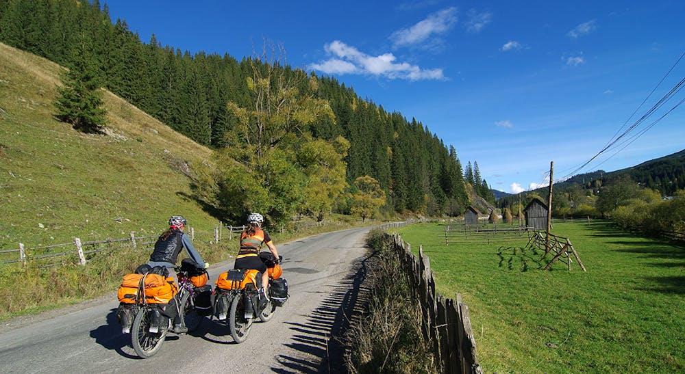
Cycling towards the nomadic people inhabiting between the northernmost point of Europe, North Cape, and the southern terminal of the African continent, Cape Agulhas…Nomads²: nomads by nomads, from cape to cape…a cycling odyssey!
Difficulty
Difficult
Mostly stable trail tread with some variability featuring larger and more unavoidable obstacles that may include, but not be limited to: bigger stones, roots, steps, and narrow curves. Compared to lower intermediate, technical difficulty is more advanced and grades of slopes are steeper. Ideal for upper intermediate riders.