The Cotswold Way
One of the most varied and engaging long distance trails in southern England
Also in Bath and North East Somerset, United Kingdom • South Gloucestershire, United Kingdom • Wiltshire, United Kingdom
Hiking Moderate
- Distance
- 161 km
- Ascent
- 3.6 km
- Descent
- 3.7 km
- Duration
- 1 day +
- Low Point
- 27 m
- High Point
- 309 m
- Gradient
- 6˚

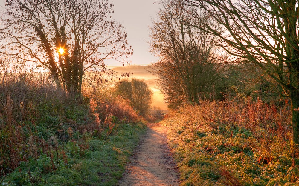
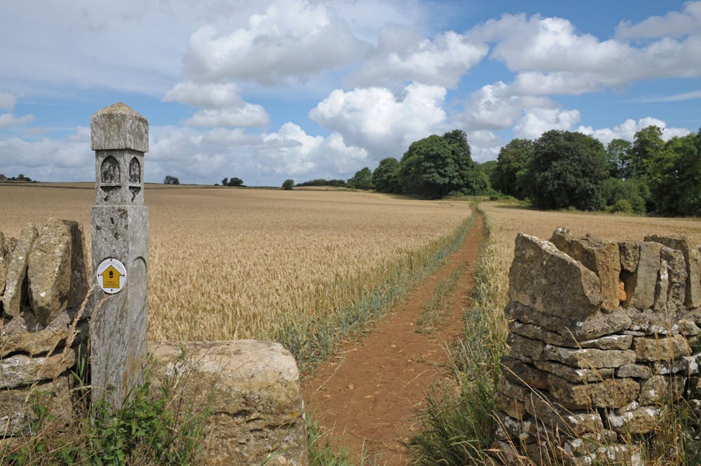
With everything from fascinating historical sites to deserted countryside, this is a hike with a bit of everything. The Cotswold Way runs for 102 miles (164 km) from the market town of Chipping Campden in Gloucestershire to the city of Bath in Somerset. It is named after the Cotswold Hills, a range of rolling hills and picturesque villages in south-central England that are famous for their natural beauty, historic landmarks, and traditional architecture. It can be done in either direction and it well signposted both ways.
- •
- •
- •
Description
The Cotswold Way passes through a diverse range of landscapes, including lush valleys, steep escarpments, tranquil woodlands, and open fields. It also takes in numerous historic sites and attractions, such as ancient churches, stately homes, and charming market towns.
Some of the highlights of the Cotswold Way include:
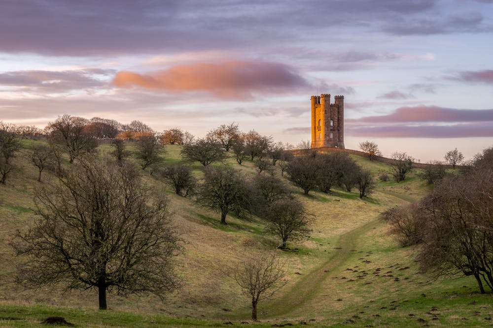
Broadway Tower: This iconic landmark is a historic folly that offers stunning views over the surrounding countryside. See the photo above to get an idea of what we're talking about!
Sudeley Castle: This historic castle, located near the town of Winchcombe, is home to beautiful gardens, a chapel, and a museum.
Painswick Rococo Garden: This stunning 18th-century garden is famous for its ornate design and stunning displays of seasonal flowers.
Cleeve Hill: This high point on the trail offers panoramic views over the surrounding hills and valleys.
Bath: This historic city is famous for its Roman Baths, Georgian architecture, and vibrant cultural scene.
Chipping Campden: This picturesque market town is the starting point of the trail and is home to numerous historic buildings and landmarks.
There countless ways of breaking up the trail and all forms of accommodation en route, making it logistically quite simple.
Difficulty
Moderate
Hiking along trails with some uneven terrain and small hills. Small rocks and roots may be present.
Medium Exposure

The trail contains some obstacles such as outcroppings and rock which could cause injury.
Remoteness
Away from help but easily accessed.
Best time to visit
Features
- Wildlife
- Historical
- Picturesque
- Dog friendly
- Wild flowers
- Family friendly