15 routes · Hiking

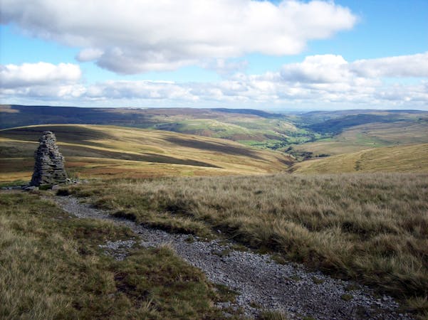
Not one of the better days on the Pennine Way but still an enjoyable stroll which features some excellent lunch options!
Also in Calderdale, United Kingdom • Oldham, United Kingdom • Rochdale, United Kingdom
Hiking Difficult

With noisy roads never far away and lots of flat terrain, not many hikers count this as one of the finest days on the Pennine Way. It's not a bad day by any means, just not one of the highlights of the trail.
The hike today takes in several summits, so there's always something to look forward to as you cross - to name but a few - Standedge, White Hill, Blackstone Edge and Stoodley Pike, and pass by half a dozen reservoirs.
Unlike the previous 2 days on the Pennine Way this hike actually has a great spot to stop for lunch; the White Horse pub, next to Blackstone Edge reservoir. After a couple of days eating rucksack-friendly food at lunchtime, the prospect of a hearty and hot meal is likely to be pretty appealing so count on an hour in the pub when planning your day!
Beyond the delights of the pub grub, the hike also features ever improving views the closer you get to the Calder Valley. By the time you reach Stoodley Pike - the final summit en route - you'll have an excellent vista over Hebden Bridge; your destination for the night.
The town is one of the bigger settlements on the Pennine Way so it's a logical place to stock up on snacks or to change out any gear. The town has a couple of gear shops which sell just about everything you need for the Pennine Way so this is an opportunity to replace anything which isn't performing as expected.
Difficult
Hiking trails where obstacles such as rocks or roots are prevalent. Some obstacles can require care to step over or around. At times, the trail can be worn and eroded. The grade of the trail is generally quite steep, and can often lead to strenuous hiking.

15 routes · Hiking