3.1 km away
Mount Sneffels: Yankee Boy Basin 4x4 Trailhead
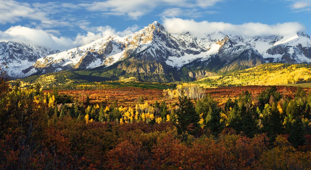
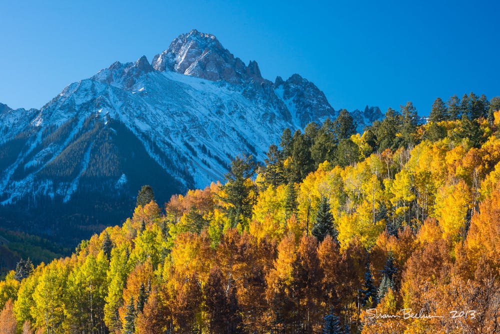
Climb the Queen of the San Juans, "Colorado's most beautiful mountain."
Easy Alpine Climbing
- Distance
- 3.2 km
- Ascent
- 509 m
- Descent
- 509 m
Climb the Queen of the San Juans, "Colorado's most beautiful mountain."
Alpine Climbing Easy

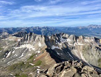
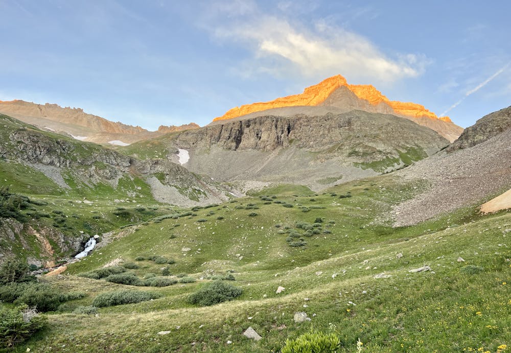
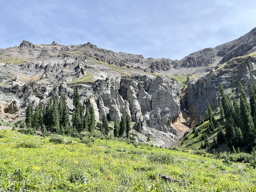
"Sneffels is often said to be Colorado's best and most beautiful mountain," writes Matt Lemke on SummitPost.org. This aesthetic peak features "symmetry, spires, pinnacles, rugged ridges and beautiful slopes of aspens and flowers," according to Lemke.
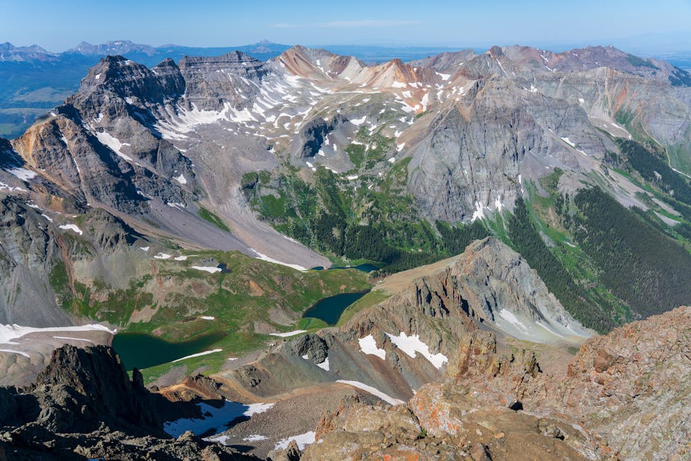
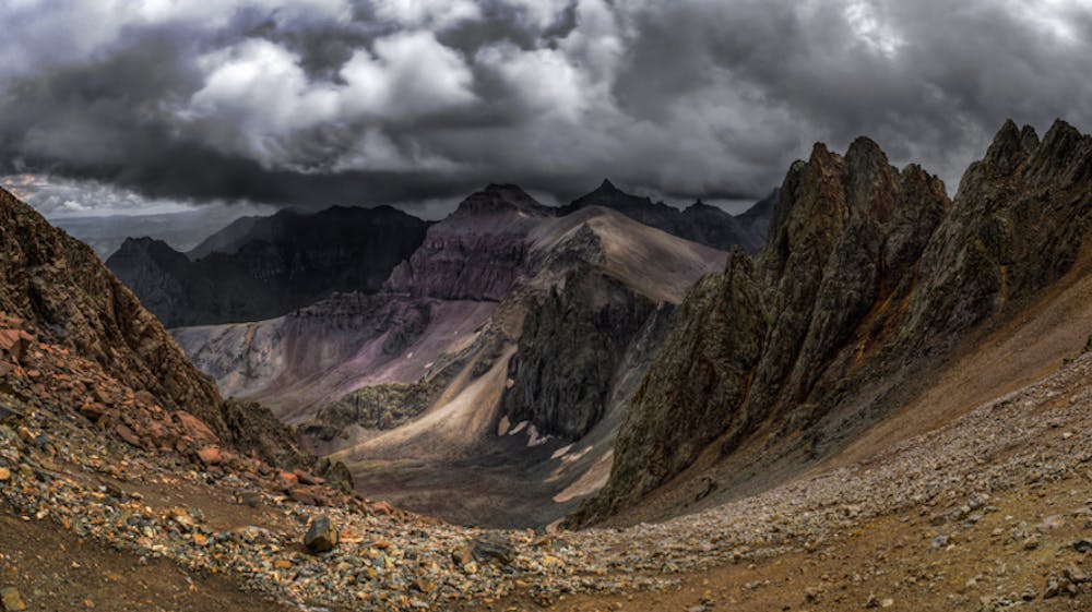
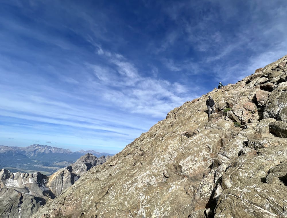
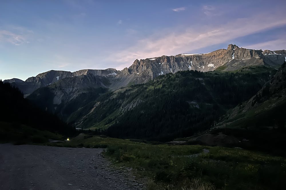
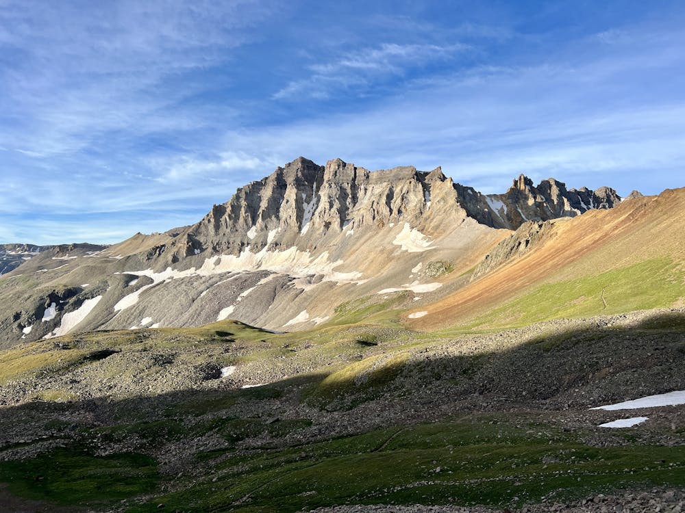
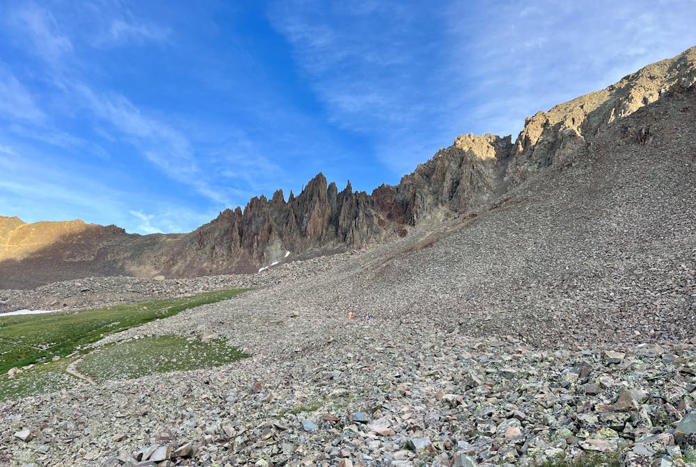
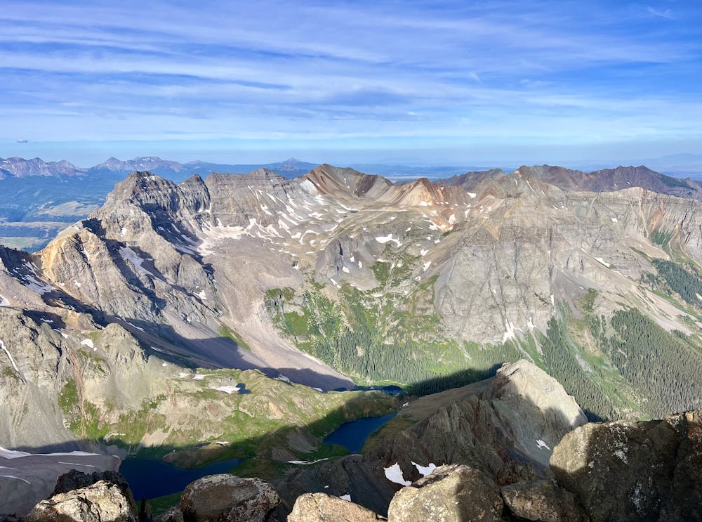
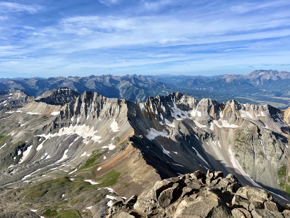
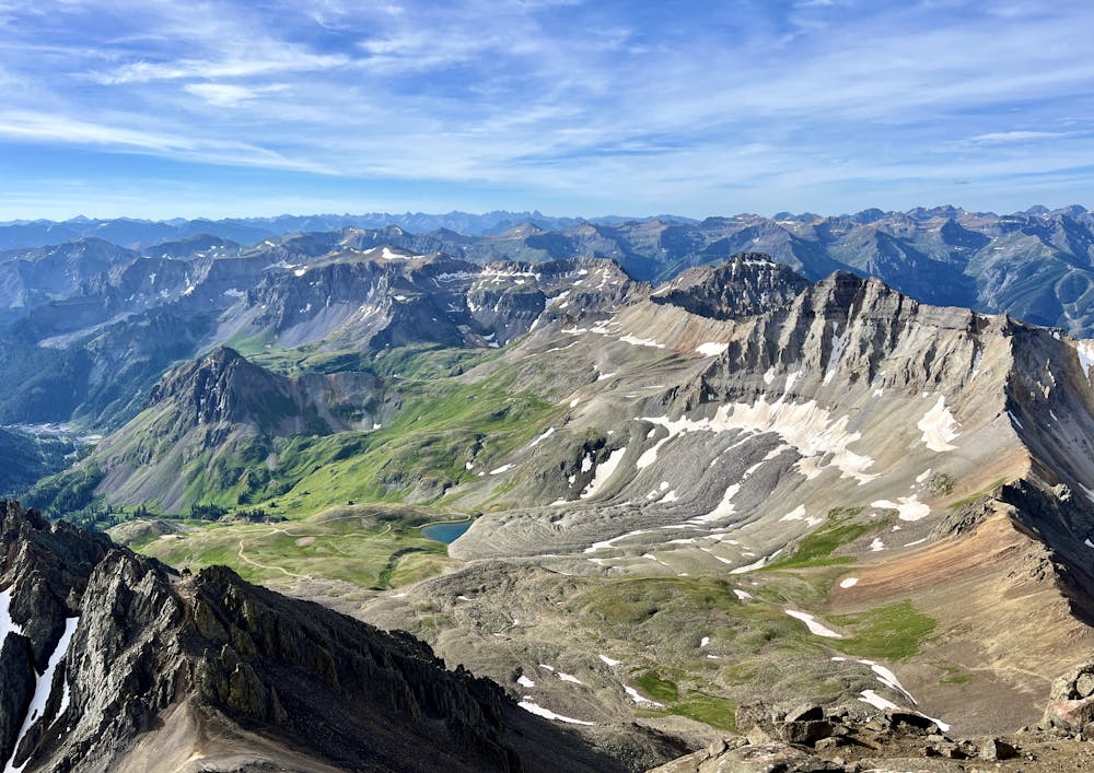
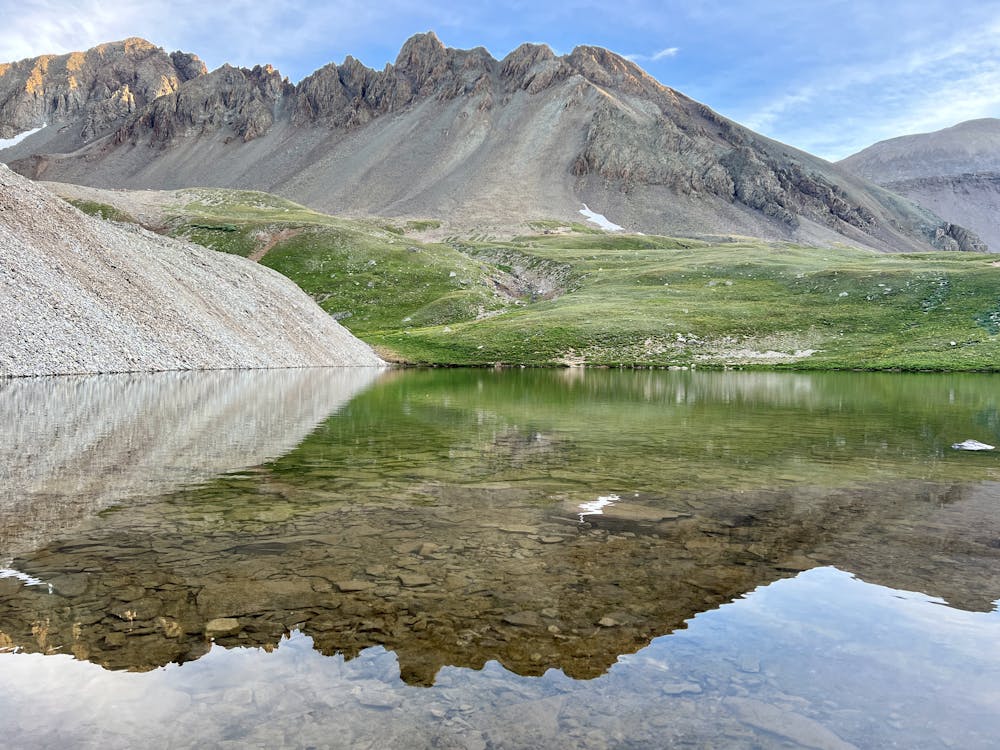
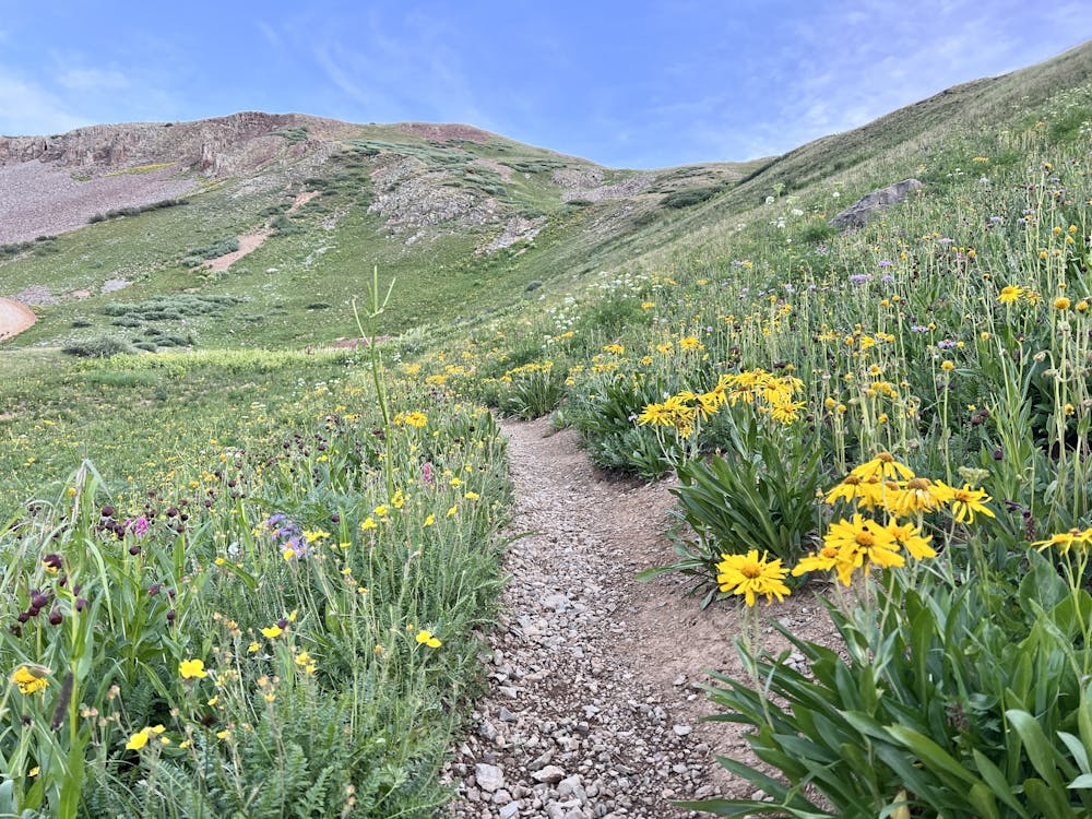
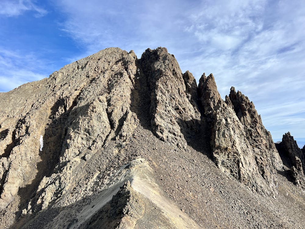
The route mapped here is the easiest route to the summit of Sneffels, also known as "the Queen of the San Juans." The approach follows a mellow trail winding up a valley, but don't worry—the climb will soon get much more difficult. Shortly after you pass 12,600 feet, you'll be faced with a loose scree slope without a defined trail. Here, you'll have to climb straight up the mountain, making for the Lavender Col, a saddle resting at 13,560 feet. "If you felt it was very difficult to get to this point, you may not be ready for the remaining climb, and this may be a good place to turn back," cautions 14ers.com.
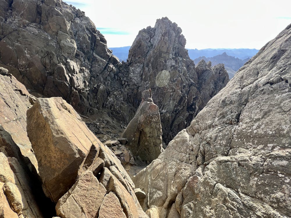
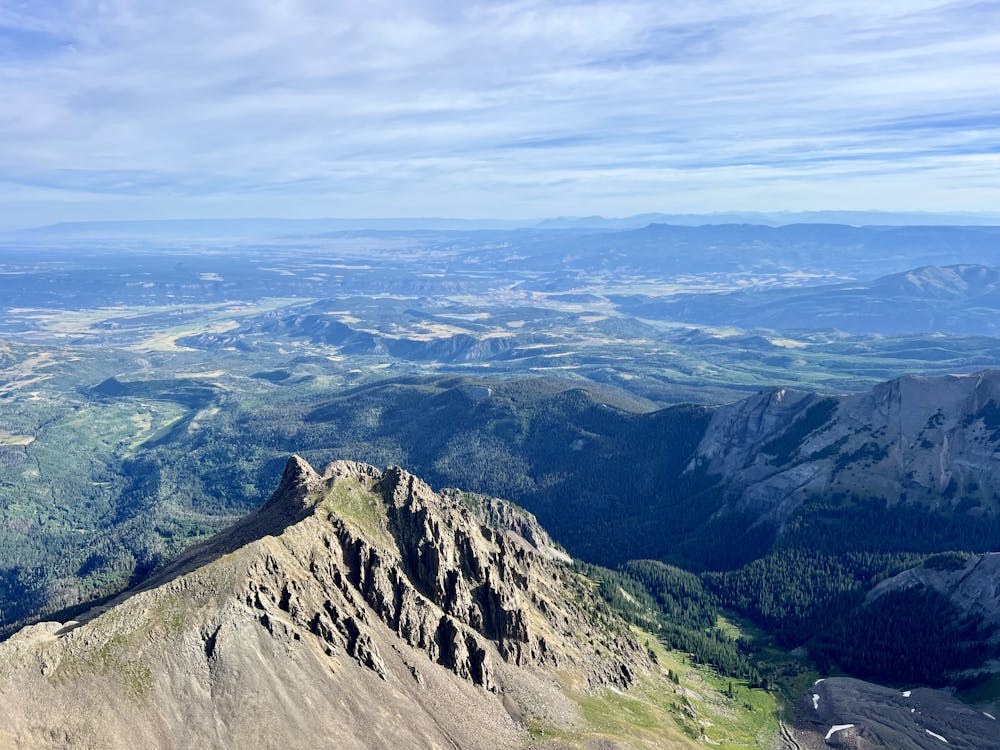
From the col, you'll begin climbing the upper gulley toward the summit. Don't expect to follow a defined trail here, either, so be prepared to climb straight up the scree or snowfield. If you're climbing early enough in the season for the gulley to hide a snowfield, crampons and an ice axe are recommended. Roughly 30 feet before the top of the gully, turn left and scramble through "a small 'V' notch, which provides the easiest access to the summit," according to 14ers.com. After the notch, only a short rock scramble separates you from the summit of this beautiful mountain!
Access Note:
The route shown here begins at the end of the easily drivable 2WD road. Beyond this point, some 2WD cars might be able to drive another ~1 mile to reach a trailhead parking lot with a pit toilet. However, many cars and drivers won't be able to or willing to navigate this section. Thus, the route shown here is the longest possible route.
Parking here requires an extra 2.7 miles of hiking and 1,700+ feet of vertical gain one-way to reach the 4x4 trailhead.
Sources: https://www.summitpost.org/mount-sneffels/150272 https://www.14ers.com/photos/peakmain.php?peak=Mt.+Sneffels
Easy
The ascent involves simple glacier hiking and/or short, straightforward rock scrambles. Equivalent to Alpine F, F+

Much of the route is difficult to protect and a fall could be disastrous at certain points.

In the high mountains or remote conditions, all individuals must be completely autonomous in every situation.
3.1 km away
Climb the Queen of the San Juans, "Colorado's most beautiful mountain."
Easy Alpine Climbing

10 routes · Alpine Climbing · Hiking

46 routes · Alpine Climbing · Hiking