2 m away
PCT: Campo to Lake Morena
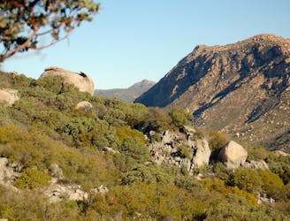
The southernmost section of the PCT, beginning at Mile 0 on the Mexico border, going to Mile 20 at Lake Morena Park.
Moderate Hiking
- Distance
- 31 km
- Ascent
- 897 m
- Descent
- 848 m
Legendary thru hike of America’s West Coast states, from the southern deserts at the Mexico border, through some of the country’s highest mountains, to the Northwest forests and the Canadian border.
Also in British Columbia, Canada • California, United States of America • Nevada, United States of America • Washington, United States of America
Hiking Difficult

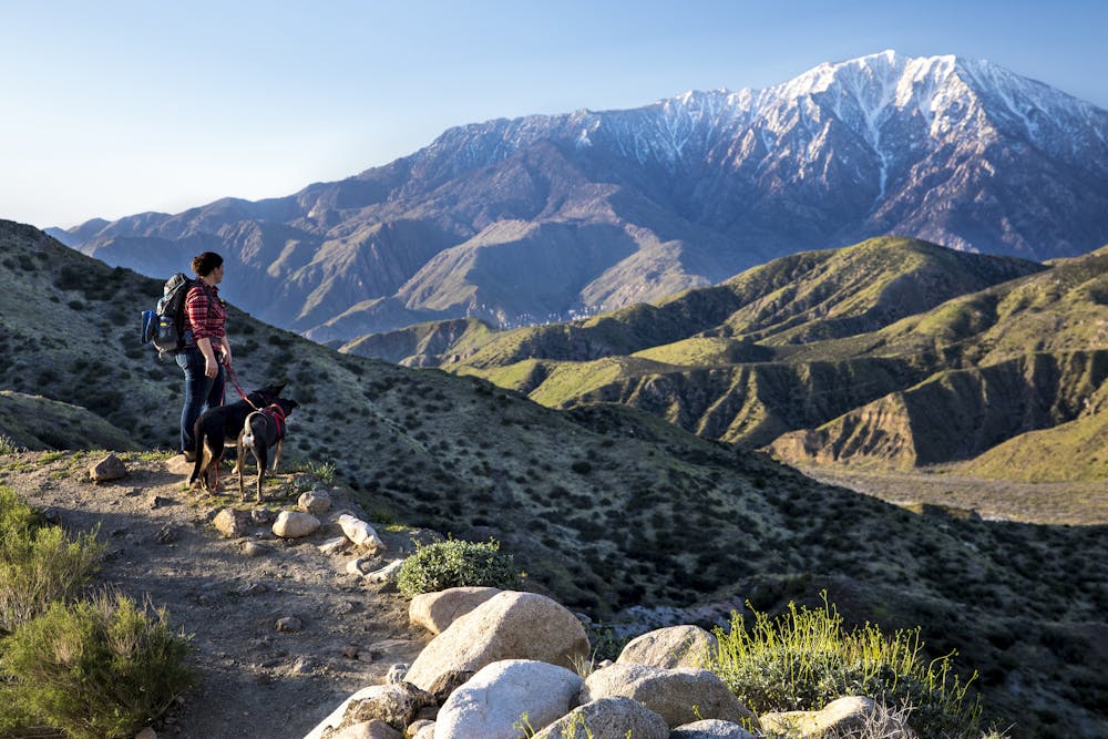
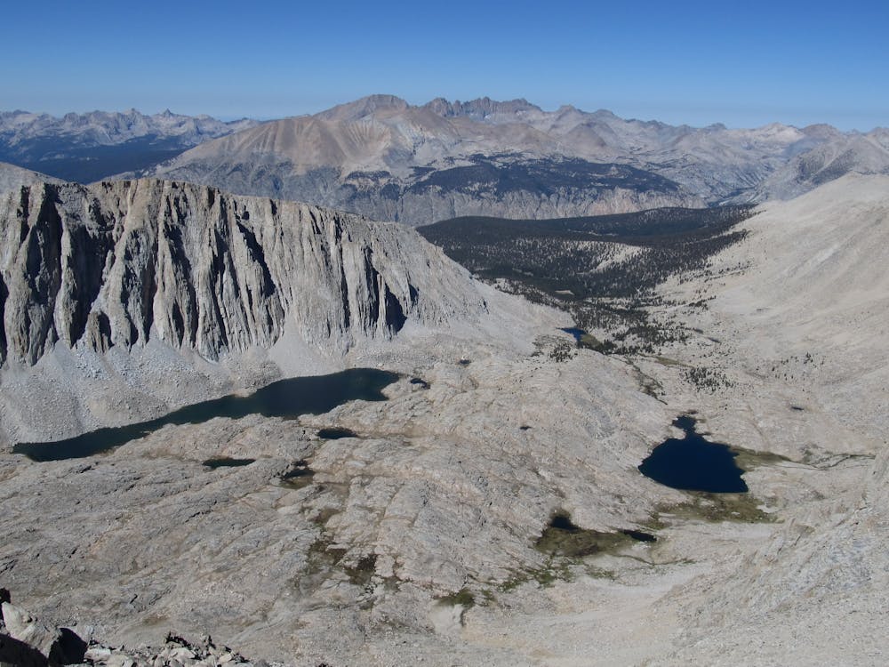
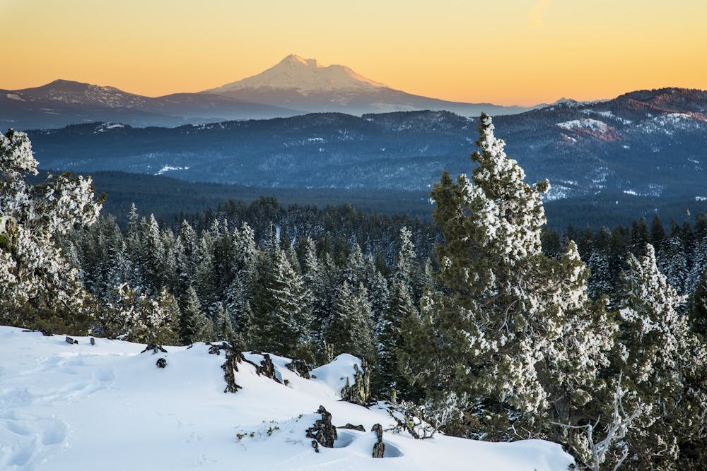
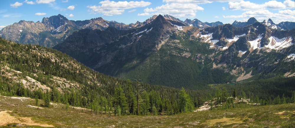
Stretching from dusty desert on the Mexican border, across snowy mountains in California, to chilly and rainy forests at the Canadian border, the Pacific Crest Trail travels through an overwhelming array of environments and covers a daunting distance of 2,650 miles. It tours some of the American West’s most iconic and wild scenery: the sky islands of Southern California, the tallest mountain in the contiguous United States, Yosemite and other national parks of the Sierra Nevada, the giant volcanoes of the Cascade Range, and the Columbia River Gorge. A thru hike earns all this scenery plus the distinguishment of traveling on foot from one international border to another, across the entire north-south span of the western United States.
In many ways, the PCT is an ideal long-distance trail for determined thru-hikers, with a balanced mix of conveniences and challenges. It is well-marked, well-maintained, and gently graded for the full length (occasional washouts and seasonal snowfields notwithstanding). Resupply points and water sources are frequent enough, but just barely so in some desert sections.
The short months of snow-free weather in the mountains necessitate fast hiking to avoid the onset of winter. High altitudes, snow travel, and river crossings add to the difficulty and variability of this trail. There are very few shelters or other accommodations along the way, so trekkers must be completely self-sufficient with camping gear.
Most successful thru-hikers begin in the south in mid-April or May and finish in August or September. Some others hike north to south, starting in late June or early July and finishing in October or November. Starting too early or too late, or traveling too slowly, can mean getting caught in dangerous winter weather or encountering impassable snowy slopes. Breaking the PCT into multiple sections over more than one season is a good option for those who can’t commit to squeezing it into one season.
The PCT passes through many different public and private lands, including six distinct national parks. This makes regulations and permits potentially very complicated. If you are section hiking anything less than 500 miles, you will need to obtain proper permits from all relevant agencies separately. However, if you plan to hike any distance of 500 miles or more in one trip, you can get a single interagency, long-distance permit that gives permission for hiking and camping (almost) anywhere along the PCT corridor.
To plan a hike of any distance on the PCT, make sure you research extensively with guidebooks and maps, and carry some with you on the trail. To stay safe and efficient, you must be knowledgeable on the route, regulations, where to camp, how to resupply, where to find water, and current trail conditions.
Sources: https://www.pcta.org/discover-the-trail/thru-hiking-long-distance-hiking/thruhiker-faq/ https://www.pcta.org/discover-the-trail/faq/ https://www.pcta.org/discover-the-trail/permits/ https://en.wikipedia.org/wiki/PacificCrestTrail
Difficult
Hiking trails where obstacles such as rocks or roots are prevalent. Some obstacles can require care to step over or around. At times, the trail can be worn and eroded. The grade of the trail is generally quite steep, and can often lead to strenuous hiking.

The trail contains some obstacles such as outcroppings and rock which could cause injury.
Away from help but easily accessed.
2 m away
The southernmost section of the PCT, beginning at Mile 0 on the Mexico border, going to Mile 20 at Lake Morena Park.
Moderate Hiking

72 routes · Hiking