Wallowa River -> Grande Ronde: Minam to Troy
Multi-day whitewater trip of Class II-III difficulty.
Kayaking Moderate
- Distance
- 74 km
- Ascent
- 41 m
- Descent
- 326 m
- Low Point
- 484 m
- High Point
- 771 m
- Gradient
- 0˚

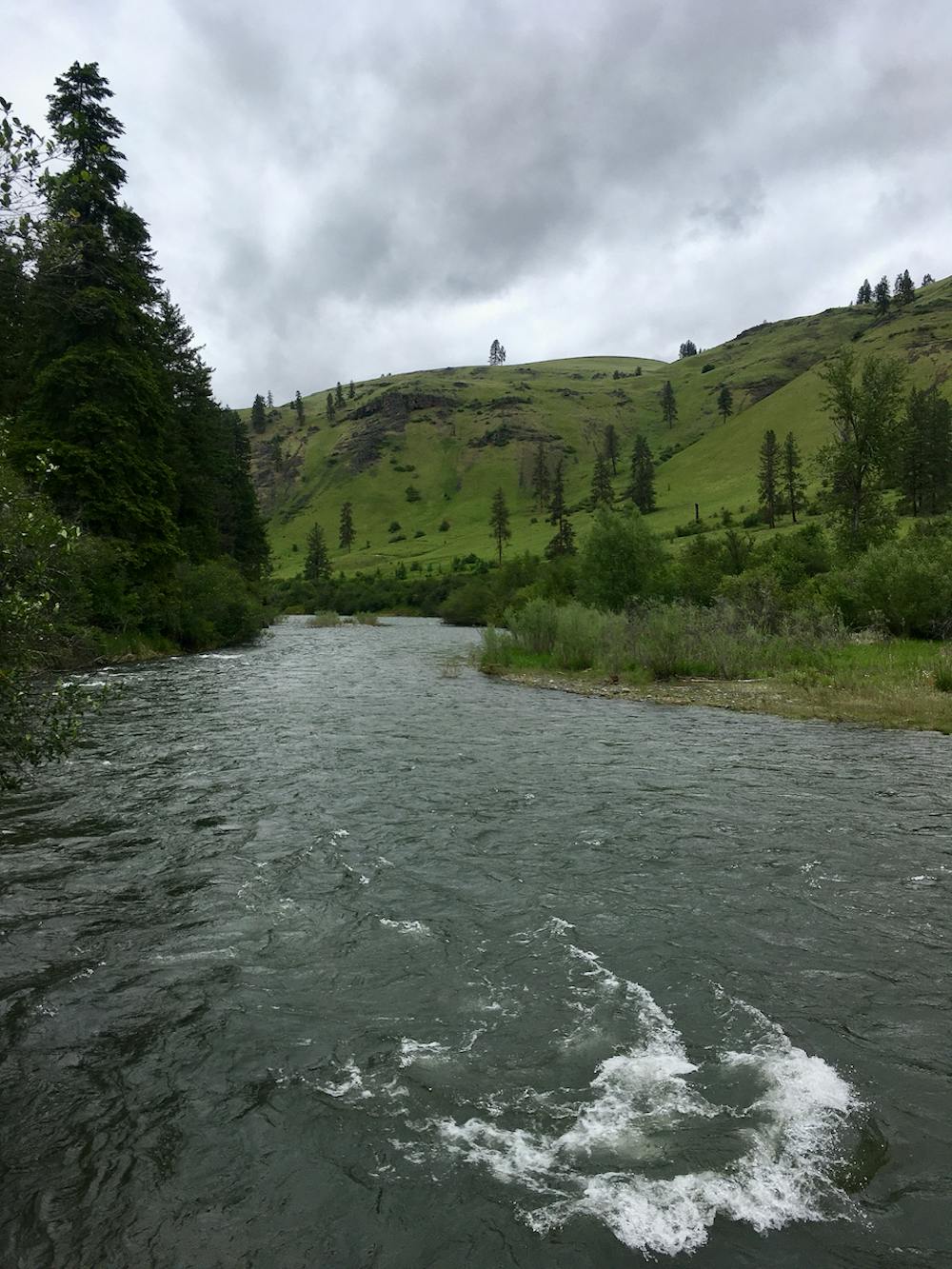
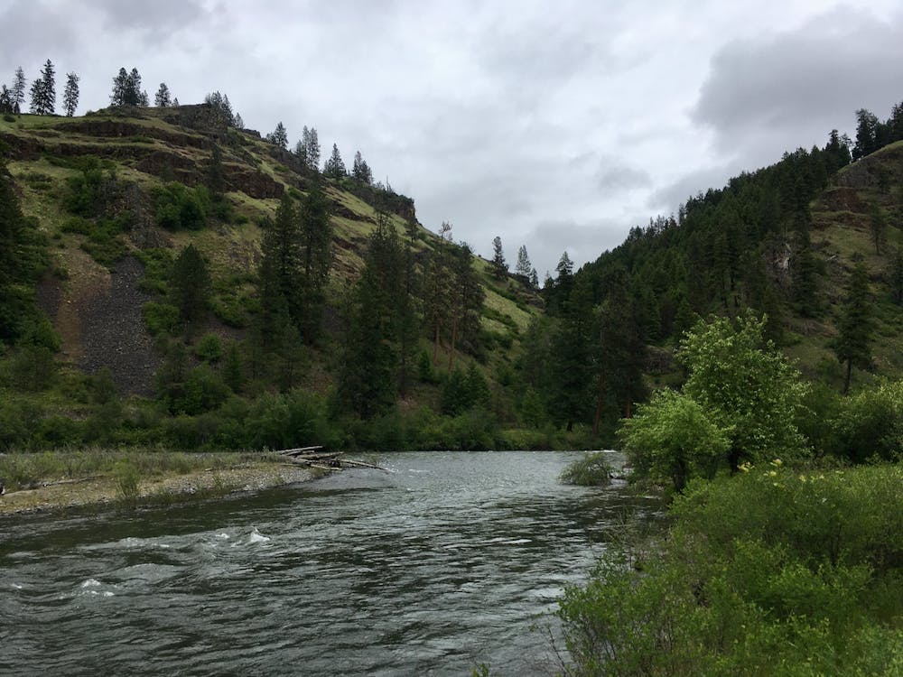
This stunning section of river runs through wild canyons deep in the wilderness. At 45 miles long, this sections is recommended as a 3-day overnight trip. Whitewater ranges from Class II to Class III depending on the water level. This segment is only recommended during spring highwater.
- •
- •
Description
Difficulty
Moderate
Remoteness

In the high mountains or remote conditions, all individuals must be completely autonomous in every situation.