5.8 km away
Aztec Cave Trail
A fun, family-friendly hike to a natural cave carved into the western slopes the Franklin Mountains.
Moderate Hiking
- Distance
- 1.8 km
- Ascent
- 124 m
- Descent
- 124 m
A short, yet difficult hike to the highest point in El Paso, South Franklin Mountain.
Hiking Difficult

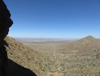
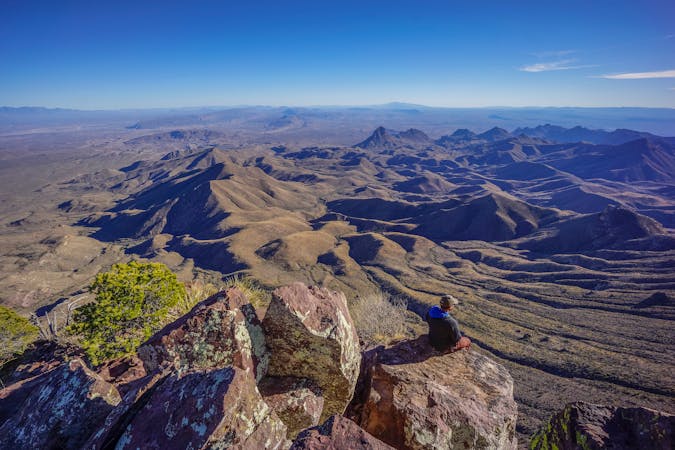
There are few roadside day hikes in the desert southwest that begin and end on a 4-lane highway, and this is one you cannot pass up! Whether you call El Paso home, are just driving through, or there for work, this hike is one of the best ways to stretch your legs and earn views from the cities highest point - South Franklin. The Window and The Mammoth are both excellent trailside destinations, even if you don't have the time to reach the official summit.
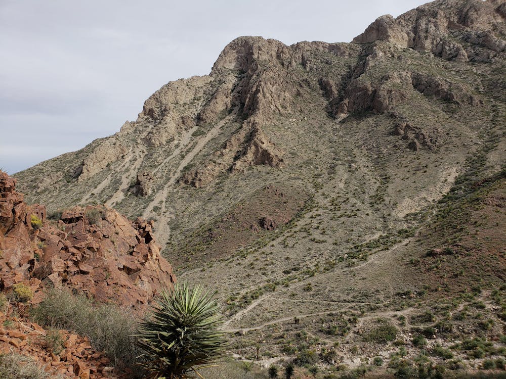
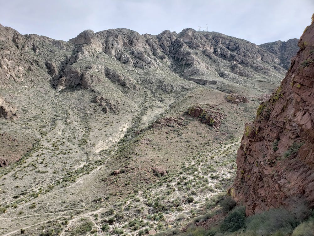
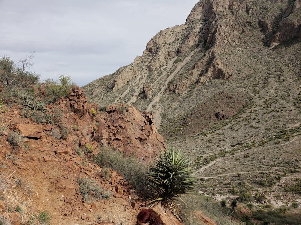
As with most hikes in the Franklins, the trail is barren and exposed yet lined with a stunning selection of desert plants, including the stunning sotol cactus, nicknamed the "desert spoon." When removed from the cactus, the leaves form the shape of a spoon and have been essential tools for civilizations across centuries. The trail's rocky exposure also creates the perfect habitat for other desert wildlife, including the massive - yet intimidating - tarantula.
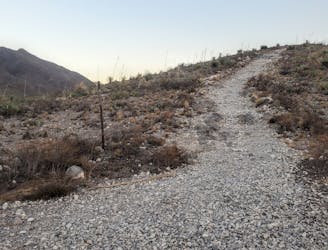
The trail begins with a gradual climb following a sandy wash, but it doesn't take long before it leads uphill via a series of switchbacks. The lower portion could be considered family-friendly, while the upper section is significantly more rugged and may be challenging for lesser-experienced or younger hikers.
Older and outdated maps often label this as the "Mammoth Rock Trail," "Mammoths Trunk Trail," or "The Window," though it is now officially listed as the Ron Coleman Trail per the park. There are no facilities at the trailhead along the highway, though the parking area is large enough to accommodate trucks and trailers with ease.
If you haven't visited the main visitor center slightly down the western side of Transmountain Drive, then you will need to bring $5 along for the self-pay kiosk at the parking lot. Those holding a Texas State Parks Pass, which comes highly recommended due to its value, will not need to pay.
Difficult
Hiking trails where obstacles such as rocks or roots are prevalent. Some obstacles can require care to step over or around. At times, the trail can be worn and eroded. The grade of the trail is generally quite steep, and can often lead to strenuous hiking.

Some trail sections have exposed ledges or steep ascents/descents where falling could cause serious injury.

Away from help but easily accessed.
5.8 km away
A fun, family-friendly hike to a natural cave carved into the western slopes the Franklin Mountains.
Moderate Hiking
6.2 km away
Enjoy one of the best day hikes in the Franklins accompanied by a picnic area with stunning westward views.
Moderate Hiking
7.4 km away
A 13.1-mile out-and-back to North Franklin Mountain, the highest peak in El Paso.
Difficult Hiking

7 routes · Mountain Biking · Hiking · Trail Running

22 routes · Mountain Biking · Hiking · Trail Running
14 routes · Hiking