521 m away
Aztec Cave Trail
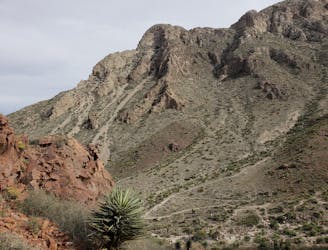
A fun, family-friendly hike to a natural cave carved into the western slopes the Franklin Mountains.
Moderate Hiking
- Distance
- 1.8 km
- Ascent
- 124 m
- Descent
- 124 m
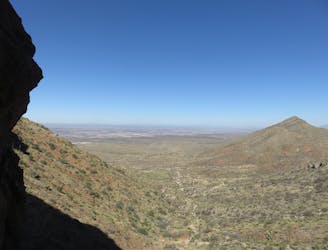
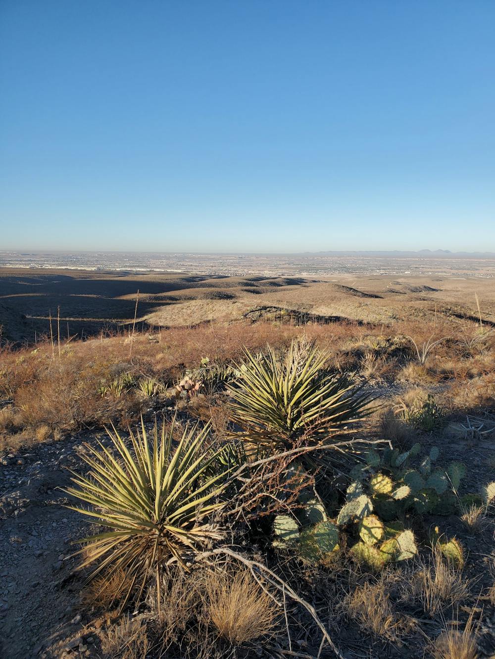
Enjoy one of the best day hikes in the Franklins accompanied by a picnic area with stunning westward views.
Hiking Moderate

Paired with the adjacent Aztec Cave Trail, this is one of the two best day hikes in the Tom Mays Unit of Franklin Mountains SP. The trail alternates between sandy washes and rocky singletrack, but is still mellow enough that everyone in the family will enjoy it. An out-and-back on the Upper Sunset trail is also a great short hike, as the westward views from the ridgeline offer a spectacular view of the sunset.
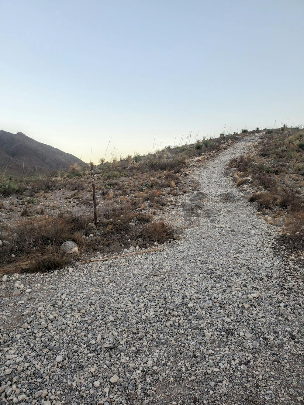
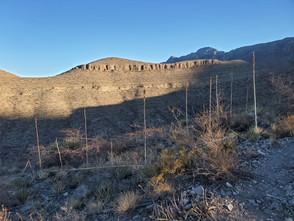
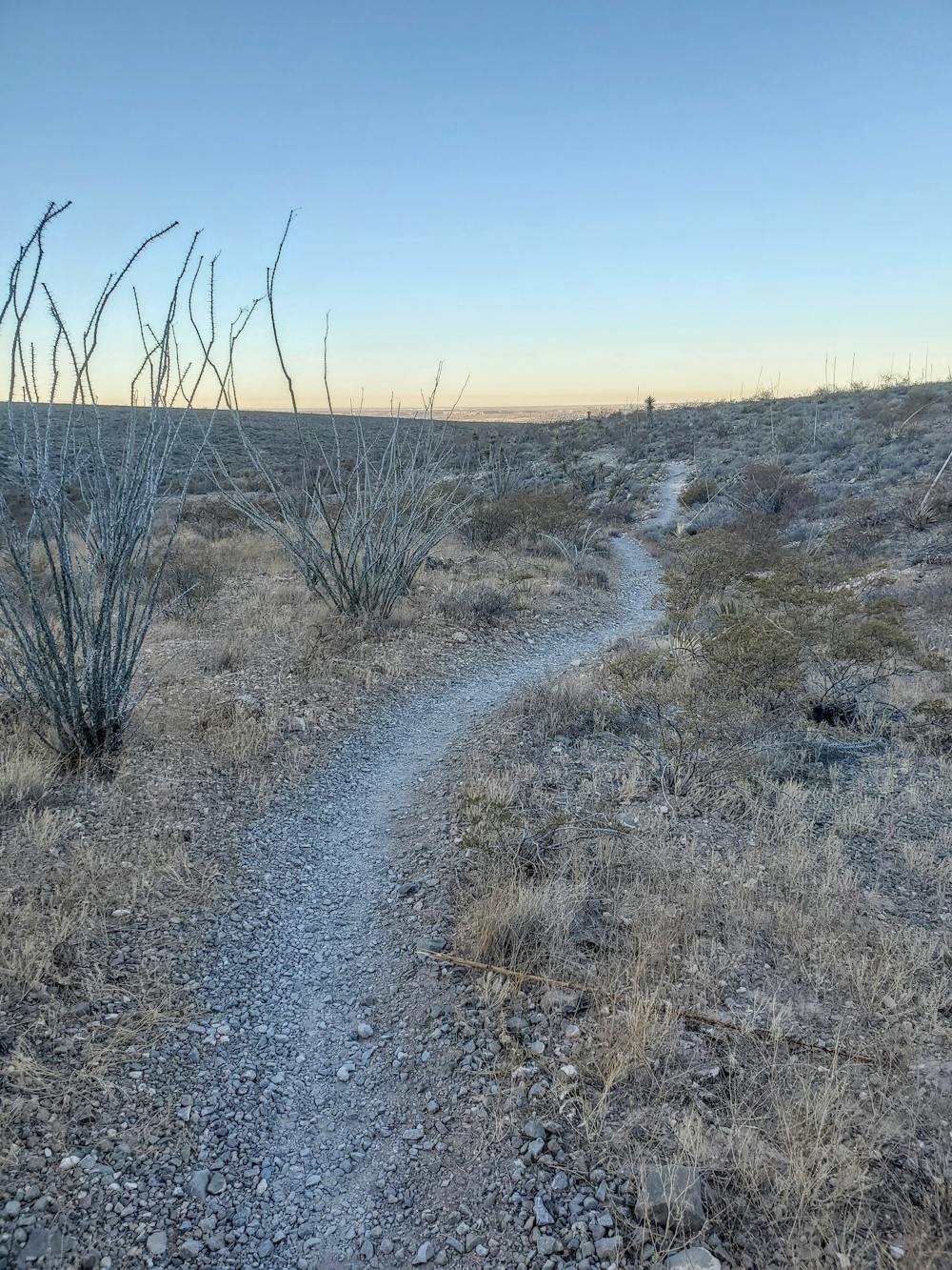
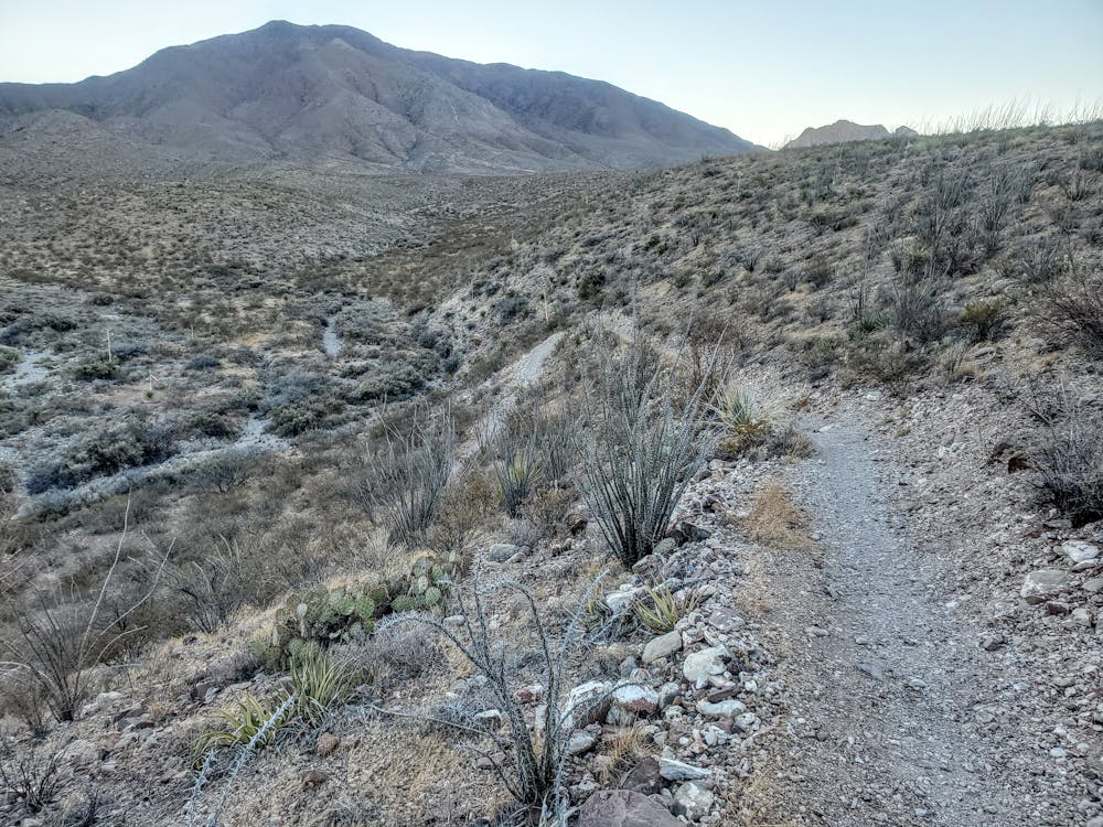
The loop shown here links the Upper and Lower Sunset Trails beginning at the picnic area and is open to both runners and mountain bikers, though it's far more often chosen as a hike. The Lower trail wanders through several washes lined with Chihuahuan Desert features, including the stunning Sotol Cactus (known as the desert spoon), while the Upper trail is shouldered by smaller plant life along the barren ridge.
This hike begins at the picnic area and stone pavilion at the end of the paved park road. There is plenty of parking, no matter what you drive, and there are vault toilets nearby. Water and other drinks can also be purchased at the visitor center when you arrive. There is also a $5 day pass required to enter the park if you are not a Texas State Parks Pass holder.
For those looking to spend the night in the park, many of the campsites are located within walking distance from where this hike begins. Primitive walk-in, drive-up, and group campsites can all be viewed and reserved here. The park ranger is also eager to provide recommendations for campsites should you have any questions.
Moderate
Hiking along trails with some uneven terrain and small hills. Small rocks and roots may be present.

The trail contains some obstacles such as outcroppings and rock which could cause injury.
Away from help but easily accessed.
521 m away
A fun, family-friendly hike to a natural cave carved into the western slopes the Franklin Mountains.
Moderate Hiking
6.1 km away
A 13.1-mile out-and-back to North Franklin Mountain, the highest peak in El Paso.
Difficult Hiking
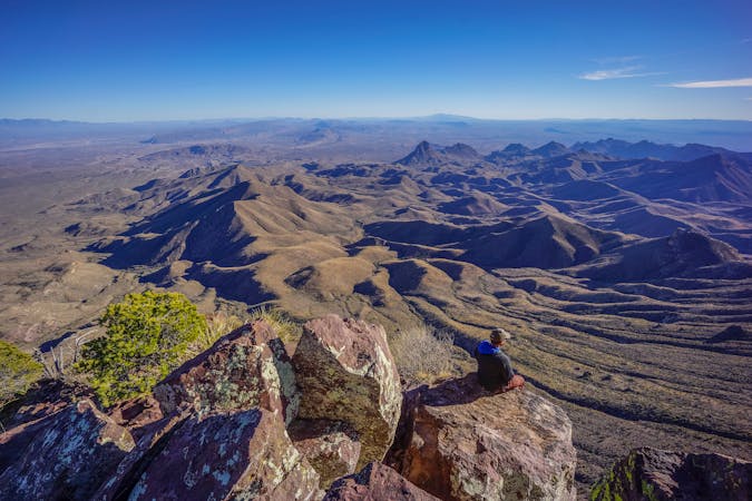
6.2 km away
A short, yet difficult hike to the highest point in El Paso, South Franklin Mountain.
Difficult Hiking

7 routes · Mountain Biking · Hiking · Trail Running
22 routes · Mountain Biking · Hiking · Trail Running
14 routes · Hiking