Mountain Explorers - Bogong Plains Grand Tour

5 Day trek into Victoria's magnificent high country
Difficult Hiking
- Distance
- 82 km
- Ascent
- 4.1 km
- Descent
- 3 km
Explore Victoria with curated guides of the best hiking trails, ski routes, and more. With over 42 3D trail maps in FATMAP, you can easily discover and navigate the best trails in Victoria.
No matter what your next adventure has in store, you can find a guide on FATMAP to help you plan your next epic trip.
Get a top trail recommendation in Victoria, or get inspired by the 42 local adventures uploaded by the FATMAP community. Start exploring now!
5 Day trek into Victoria's magnificent high country
Difficult Hiking

Lake Tali Karng via Wellington river and McFarlane Saddle and Peaks
Difficult Hiking

A route incorporating the Viking Ridge line and extending to Mt. Speculation and onto Mt. Cobbler
Difficult Hiking

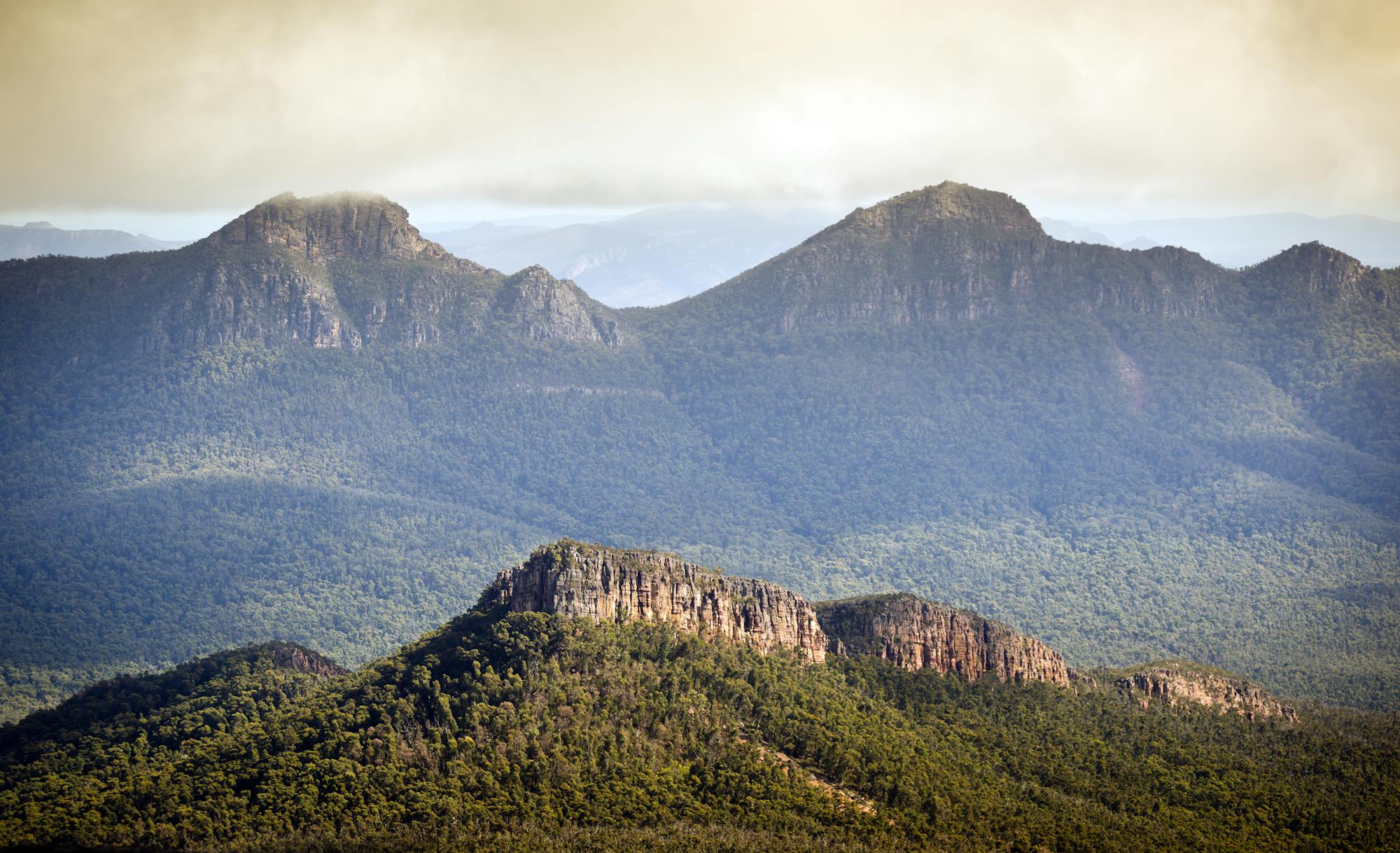
EN: A trail leading to the best viewpoint in Grampians /// PL: Szlak prowadzący do najlepszego miejsca widokowego w Parku Narodowym Grampians
Moderate Hiking

A short steep open face that leads into The Chute
Difficult Freeride Skiing

A steep and narrow chute
Difficult Freeride Skiing

A sunny open bowl leading to a broad ridge that slowly steepens and fills in with trees.
Difficult Freeride Skiing

A short but steep bowl
Difficult Freeride Skiing

A short and narrow gully with tight trees
Difficult Freeride Skiing

The feature bowl of the Extreme Zone with many variations possible
Difficult Freeride Skiing