Aywaille-COO

Trail Route between Aywaille and Liege
Difficult Trail Running
- Distance
- 70 km
- Ascent
- 2.8 km
- Descent
- 2.9 km
Explore Liege with curated guides of the best routes. With over 4 3D trail maps in FATMAP, you can easily discover and navigate the best trails in Liege.
No matter what your next adventure has in store, you can find a guide on FATMAP to help you plan your next epic trip.
Get a top trail recommendation in Liege, or get inspired by the 4 local adventures uploaded by the FATMAP community. Start exploring now!
Trail Route between Aywaille and Liege
Difficult Trail Running

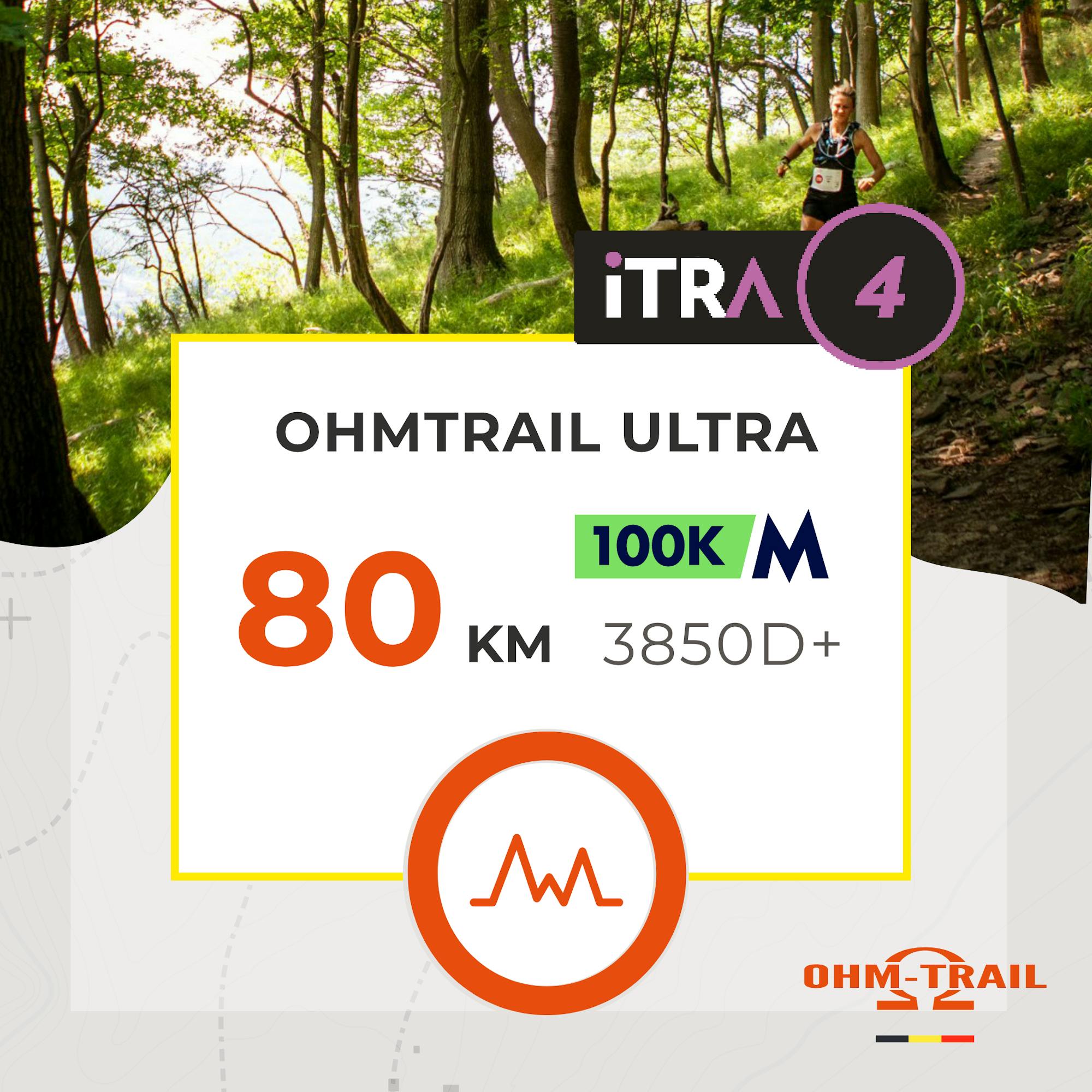
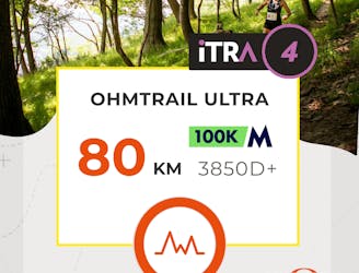
UTDS 80Km - Parcours 2023
Difficult Trail Running
Designed to host the Belgian Championship of Ultra Trail and fine tuned by local trail runners. An amazing, hence mercyless trail!
Extreme Trail Running

Camping du Moulin > Cascade Bayheron>Ovifat>Reinhardstein>Robertville>Nez Napoleon>Camping du moulin (via GR56)
Difficult Hiking