Lonquimay Volcano southeast ascend
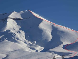
This is the most popular route to reach the summit of Lonquimay and descend around 1400m elevation
Difficult Ski Touring
- Distance
- 11 km
- Ascent
- 1.3 km
- Descent
- 1.3 km
Go Ski Touring in La Araucanía with curated guides of the best routes across the region. With over 42 3D trail maps in FATMAP, you can easily discover and navigate the best routes in La Araucanía.
No matter what your next adventure has in store, you can find a guide on FATMAP to help you plan your next epic trip.
Get a top Ski Touring recommendation in La Araucanía from one of our 3 guidebooks, or get inspired by the 42 local adventures uploaded by the FATMAP community. Start exploring now!
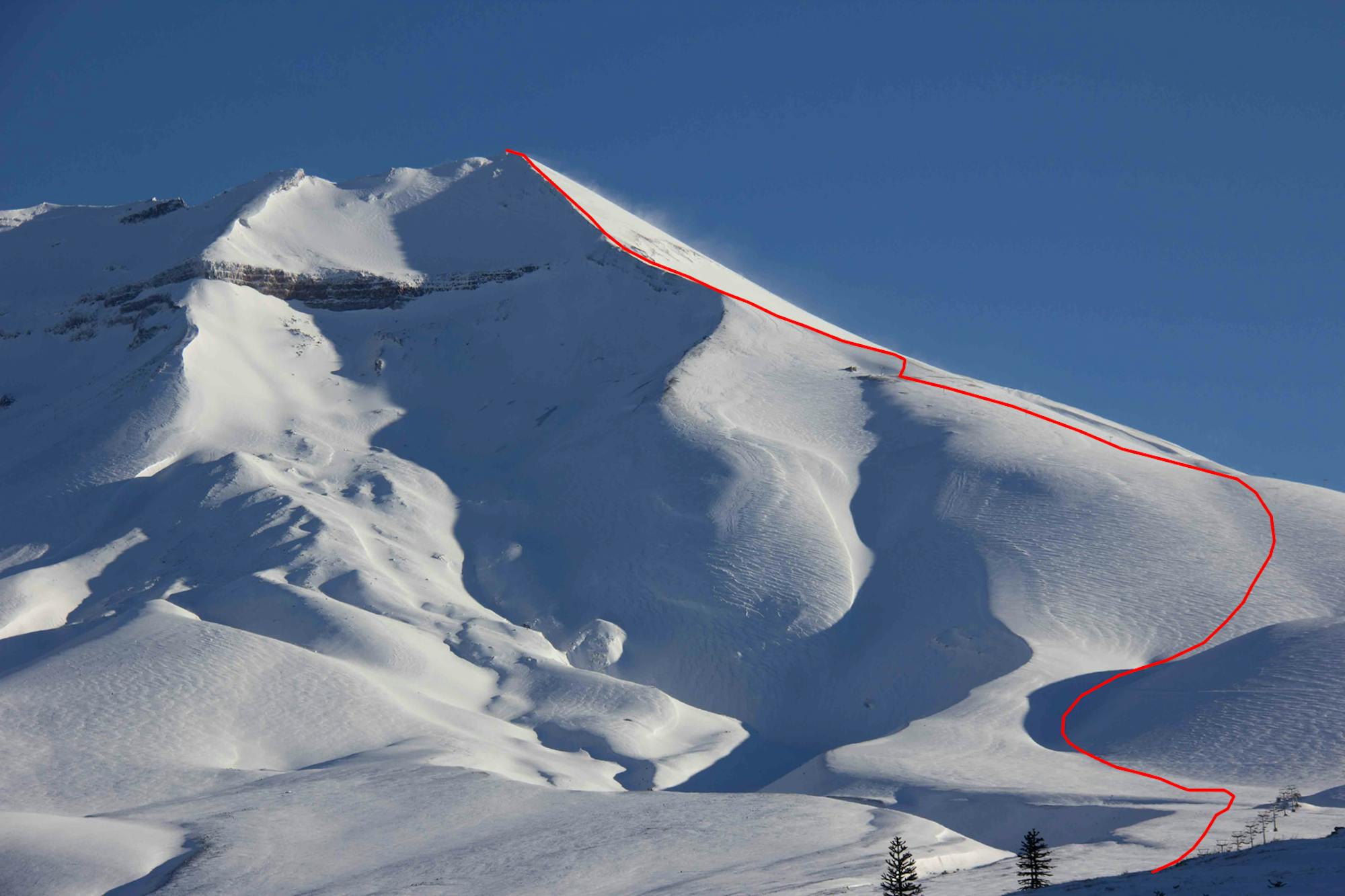
This is the most popular route to reach the summit of Lonquimay and descend around 1400m elevation
Difficult Ski Touring
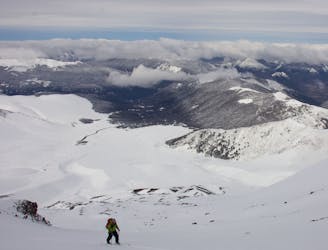
Easy access from the ski resort's parking lot with very fun terrain for the downhill.
Moderate Ski Touring