59 m away
Cerro Colorado
A short tour with a great freeride descent
Moderate Ski Touring
- Distance
- 4.8 km
- Ascent
- 387 m
- Descent
- 387 m
Easy access from the ski resort's parking lot with very fun terrain for the downhill.
Ski Touring Moderate

It's a good option if you are just arriving to the area and prefer to stretch your legs before exploring other mountains with a lengthier approach.
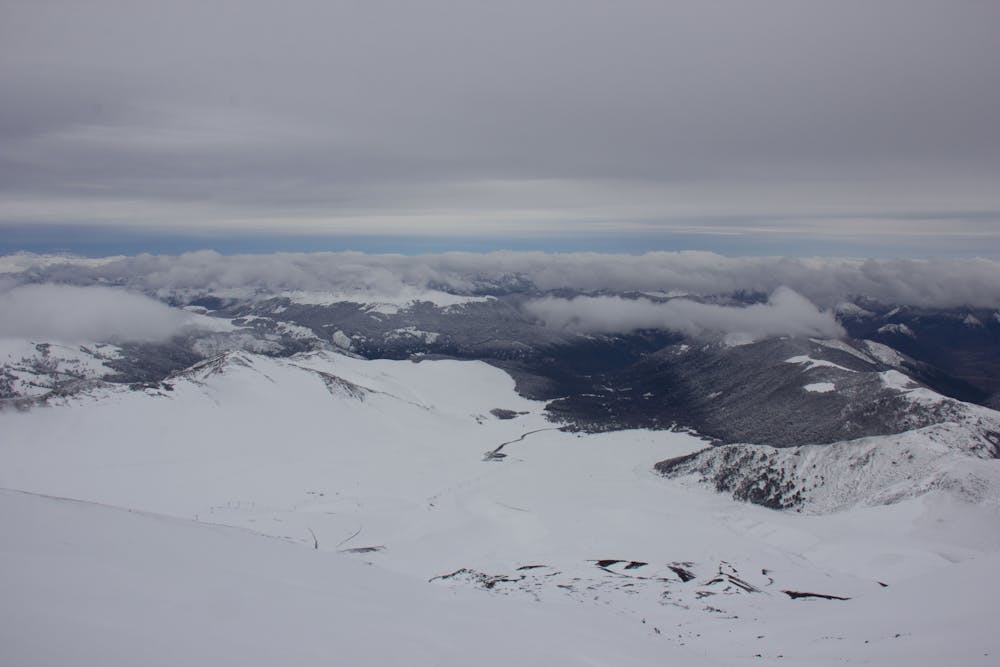
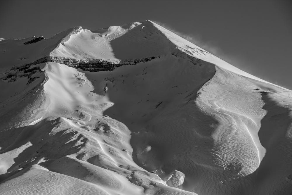
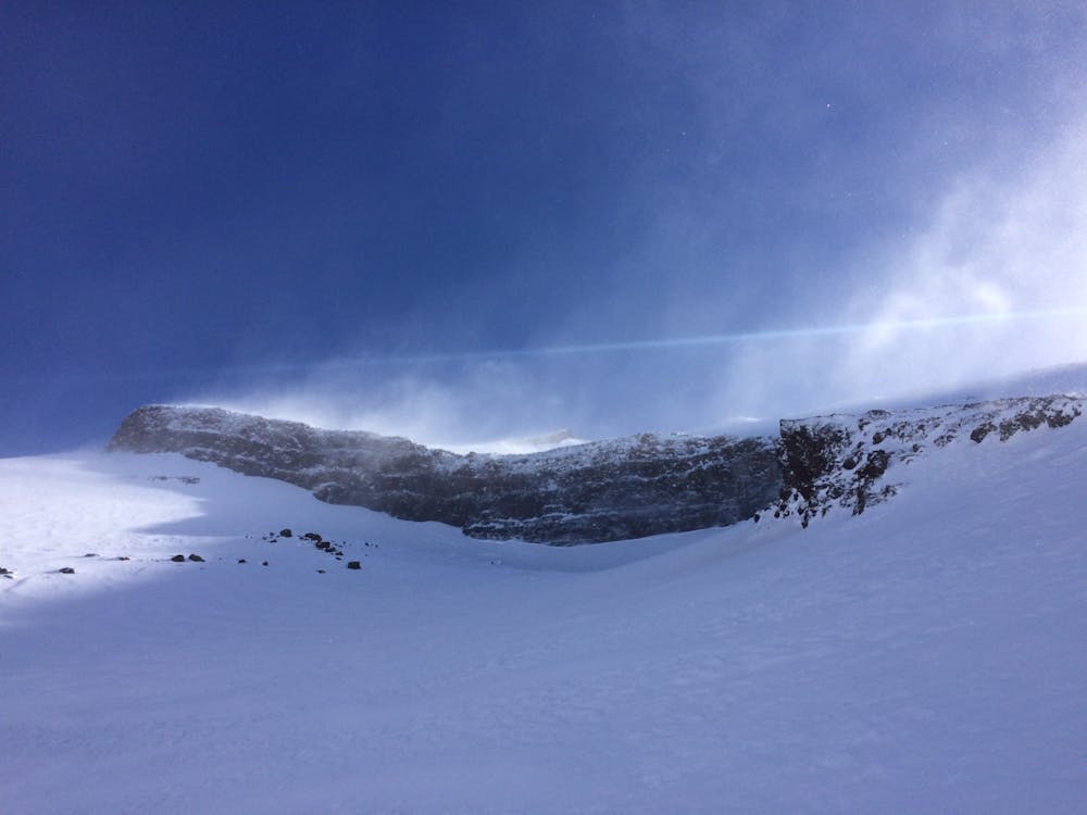
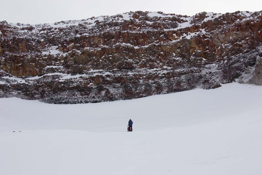
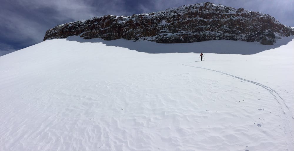

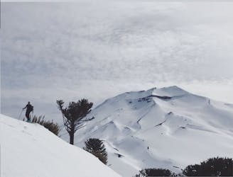
Easy access from the parking lot to start skinning up to the base of the cliff wall. Before you are clicked and ready to ski down you have a sublime view to all the mountains and volcanos of the area, reaching very far to the naked eye. In a clear sunny day you can even see volcanos Lanin and Villarrica far in the horizon and a few others to the east and Northeast.
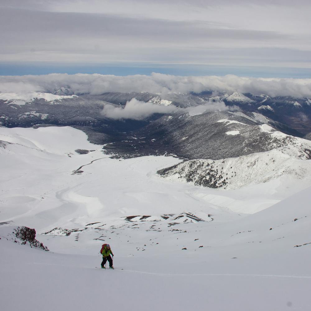
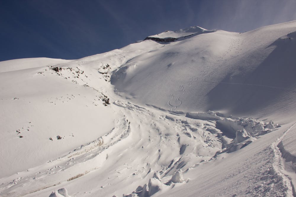
The downhill route is very easy to choose and it will be dictated by the snow conditions. Make sure to read the terrain for the usual wind pockets of this windy area (photo-1)
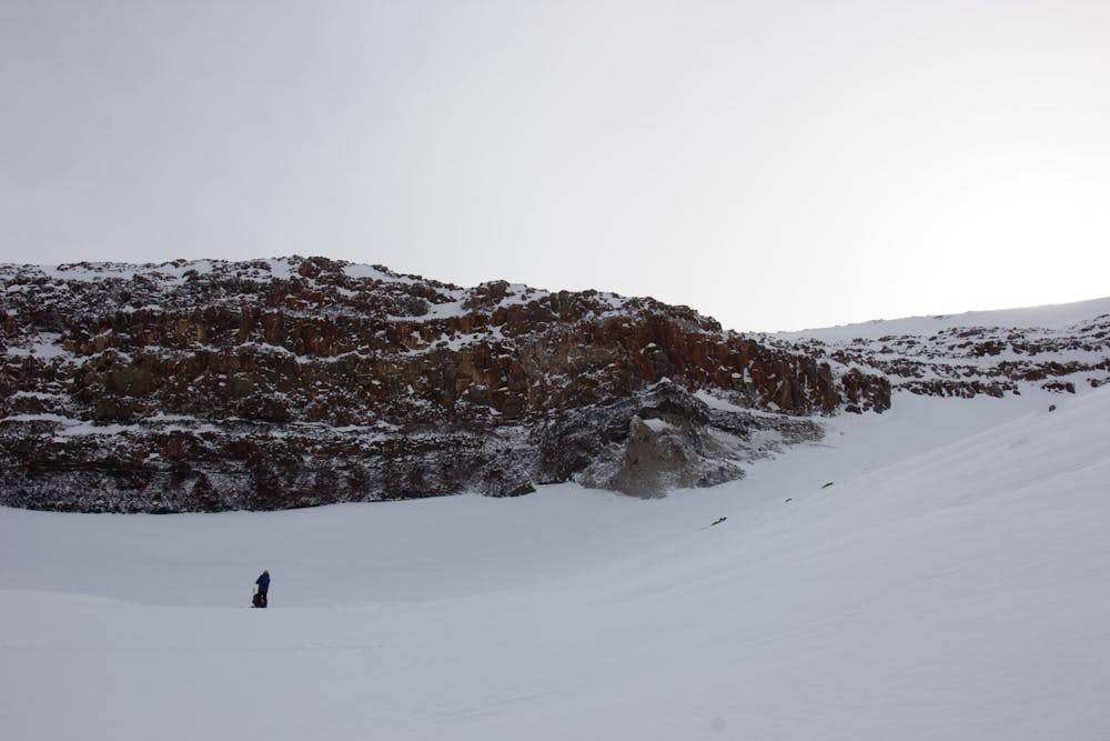
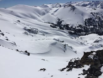
Ask the locals for avalanche conditions and do your own assessment as this big bowl below the "Farellon" has had avalanche activity in the past. Not a common event but it's worth mentioning it.
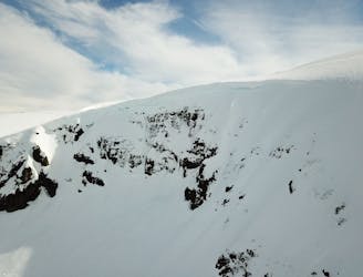
No matter the month of winter that you are visiting, always carry your ski and boot crampons as icy conditions are very common here. Don't forget your helmet! Tiny to small size rocks fall often near the wall, specially when windy.
Moderate
Slopes become slightly steeper at around 25-30 degrees.

Exposure is limited to that of the slope itself. Getting hurt is still likely if the slope is steep and/or the snow is hard.

Away from help but easily accessed.
59 m away
A short tour with a great freeride descent
Moderate Ski Touring
1.1 km away
The hildden gems nearby Corralco Resort
Moderate Ski Touring
9 km away
From ancient forests to a steep chute
Difficult Ski Touring
3 routes · Ski Touring