1.2 km away
Cerro Colorado
A short tour with a great freeride descent
Moderate Ski Touring
- Distance
- 4.8 km
- Ascent
- 387 m
- Descent
- 387 m
The hildden gems nearby Corralco Resort
Ski Touring Moderate

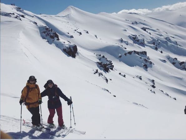
Valle Pehuenche / Cerro Cautin is one of the hidden gems in this zone that is near Corralco Resort. This zone is a must if you are visiting the area, and are a backcountry intermediate/expert. Pehuenche offers many possibilities to ride, depending on how radical you are feeling that day.

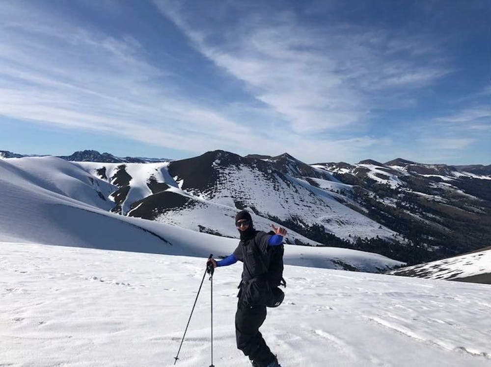
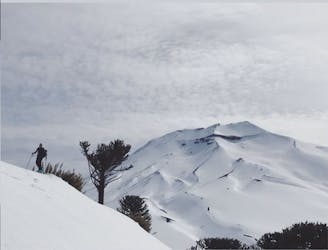
To begin the route, you can start from the dirt road on the right after you pass the CONAF checking point, or you can park at Corralco's parking lot. From both points, you will see Cerro Cautin on the right side of the valley, and from its summit you will see all the rideable lines.
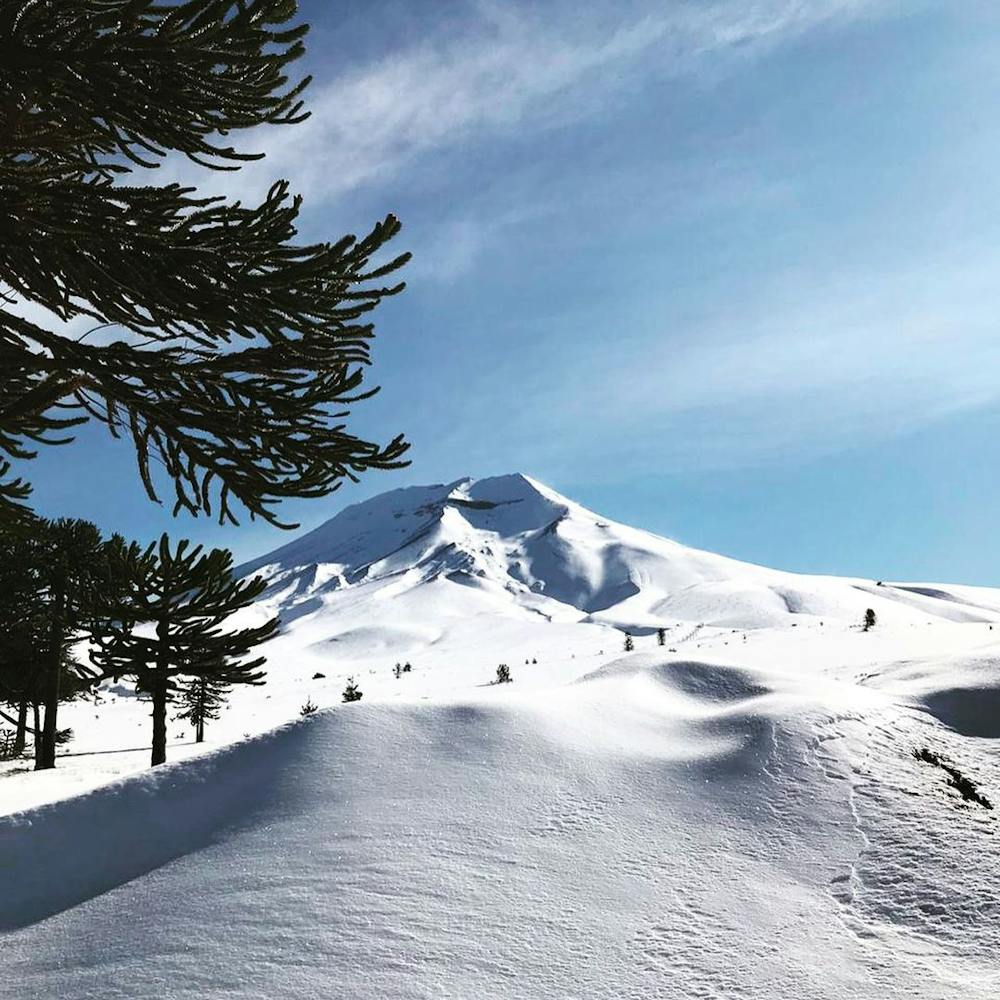
The hike to the summit is very easy and straightforward, as there is a large, covered patch of stable snow. If you start at the parking lot where the posted route begins, at the beginning of your hike you will find a spot of millenary araucaria trees with an incredible view of the Lonquimay volcano.
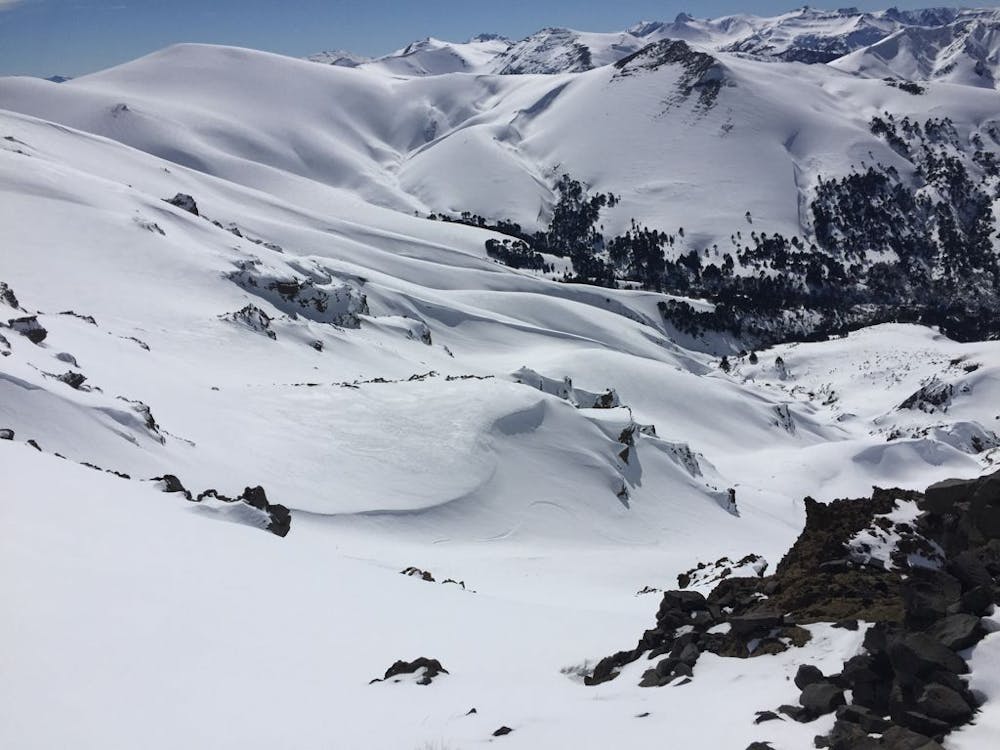
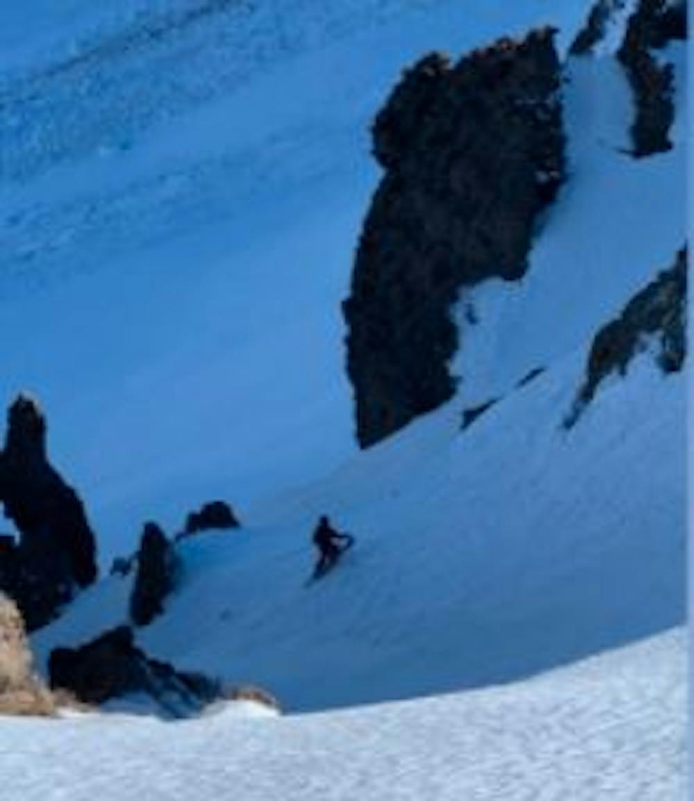
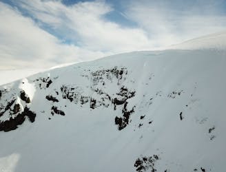
Once at the top of Cerro Cautin, you can visualise the easiest runs far on the west, and the steeper more technical lines straight down from the summit to the bowl on the opposite side. Be cautious as there are a few small blind spots on the descent, although most gullies have exits and you can visualise them if you identify them correctly from the top.
It is advised that you do not ski / ride all the way down to the stream and tight gully at the bottom. There is a flat zone of the way down where you should stop to gear up to exit.
To exit, you must hike out back to Cerro Cautin, to its flat belly before the summit. Once at the bottom, you hike/skin up the left-hand side. The exit is usually marked by a large rock and wind formation/cornice at the top.
Finally you can enjoy the last descent from Cerro Cautin to the parking lot which usually holds good snow.
Moderate
Slopes become slightly steeper at around 25-30 degrees.

As well as the slope itself, there are some obstacles (such as rock outcrops) which could aggravate injury.

Close to help in case of emergency.
1.2 km away
A short tour with a great freeride descent
Moderate Ski Touring
8.3 km away
From ancient forests to a steep chute
Difficult Ski Touring
3 routes · Ski Touring