Alto de Los Arrieros - Canalón Este
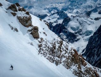
Megaline in high altitude glacier terrain
Extreme Ski Touring
- Distance
- 25 km
- Ascent
- 2.6 km
- Descent
- 2.6 km
Explore Libertador General Bernardo O'Higgins with curated guides of the best routes. With over 1 3D trail maps in FATMAP, you can easily discover and navigate the best trails in Libertador General Bernardo O'Higgins.
No matter what your next adventure has in store, you can find a guide on FATMAP to help you plan your next epic trip.
Get a top trail recommendation in Libertador General Bernardo O'Higgins, or get inspired by the 1 local adventures uploaded by the FATMAP community. Start exploring now!
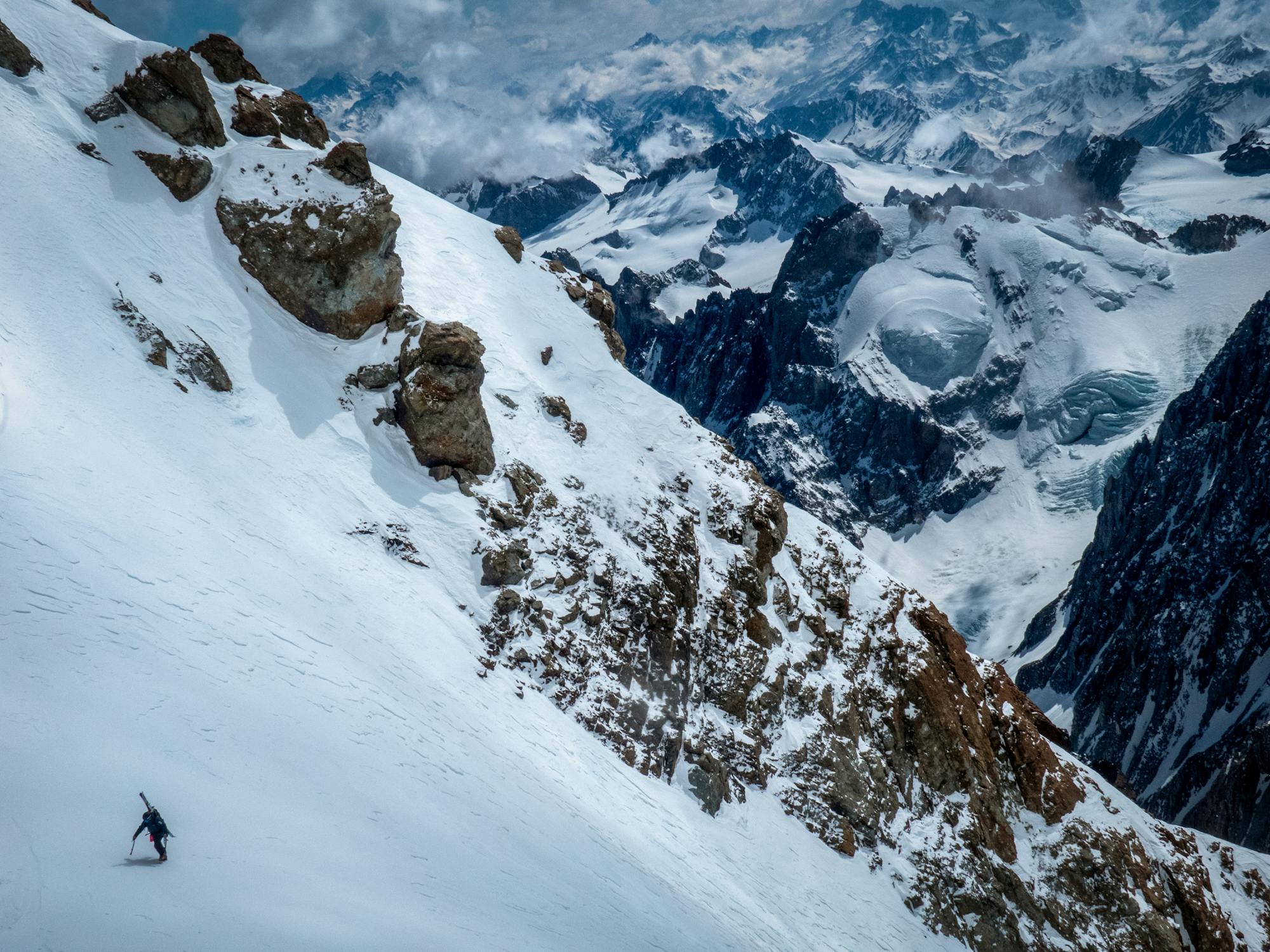
Megaline in high altitude glacier terrain
Extreme Ski Touring