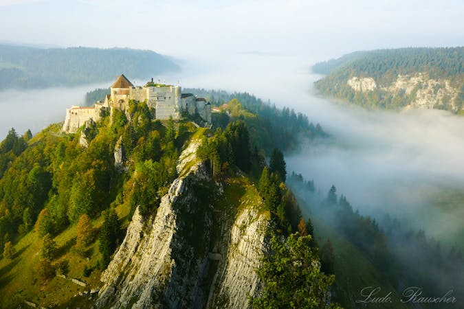
Via Francigena: Pontarlier to Jougne in the Jura Mountains
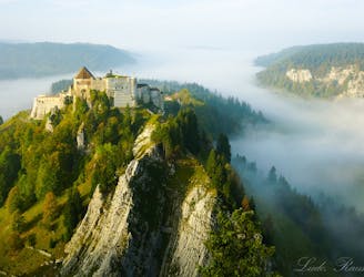
Hike the Via Francigena along the French–Swiss border from Pontarlier to Jougne.
Difficult Hiking
- Distance
- 23 km
- Ascent
- 704 m
- Descent
- 460 m
Explore Doubs with curated guides of the best routes. With over 2 3D trail maps in FATMAP, you can easily discover and navigate the best trails in Doubs.
No matter what your next adventure has in store, you can find a guide on FATMAP to help you plan your next epic trip.
Get a top trail recommendation in Doubs from one of our 1 guidebooks, or get inspired by the 2 local adventures uploaded by the FATMAP community. Start exploring now!
Hike the Via Francigena along the French–Swiss border from Pontarlier to Jougne.
Difficult Hiking

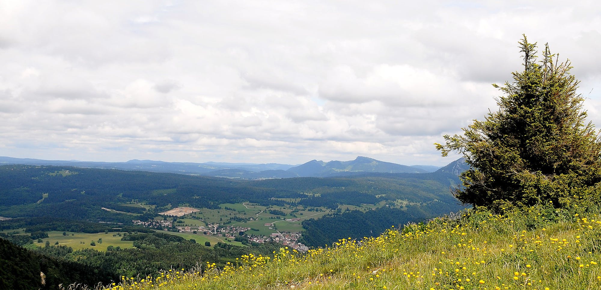
Recommended itinerary per day of good weather with a splendid view from the summit of Morond (1419m) over Lake Geneva and the Alps, including Mont Blanc. Exceptional!
Moderate Resort Ski Touring
4 routes · Hiking