Auffaz junction line

Short cut line feeling like a slope.
Easy Freeride Skiing
- Distance
- 418 m
- Ascent
- 0 m
- Descent
- 61 m
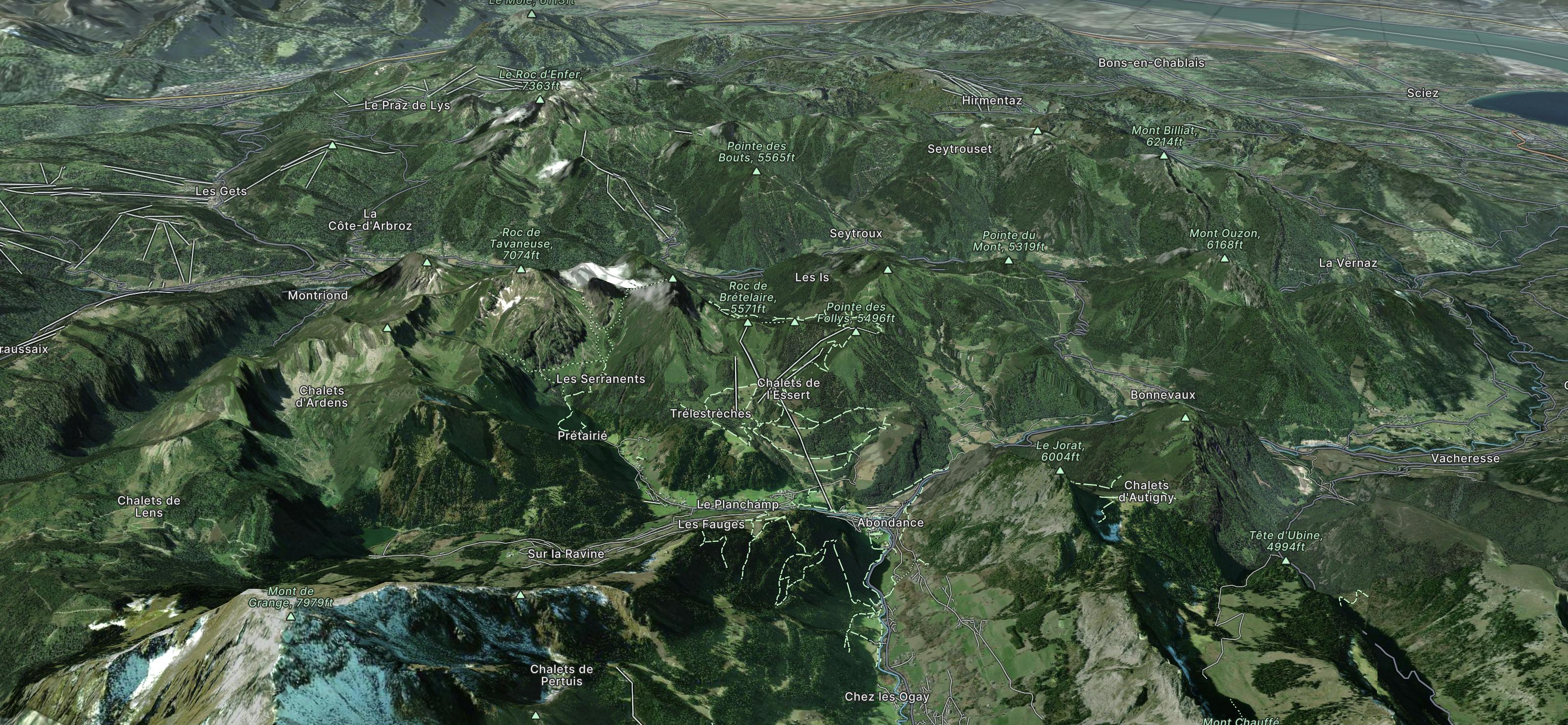
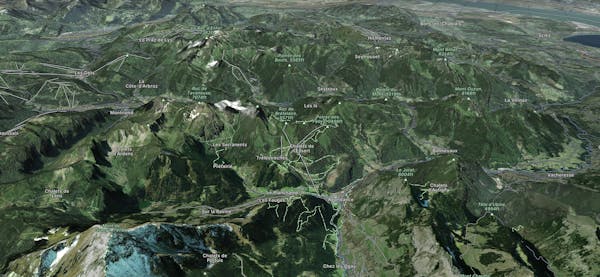
Explore L’Essert – Abondance with curated guides of the best ski routes, and more. With over 22 3D trail maps in FATMAP, you can easily discover and navigate the best trails in L’Essert – Abondance.
No matter what your next adventure has in store, you can find a guide on FATMAP to help you plan your next epic trip.
Get a top trail recommendation in L’Essert – Abondance from one of our 1 guidebooks, or get inspired by the 22 local adventures uploaded by the FATMAP community. Start exploring now!
Short cut line feeling like a slope.
Easy Freeride Skiing

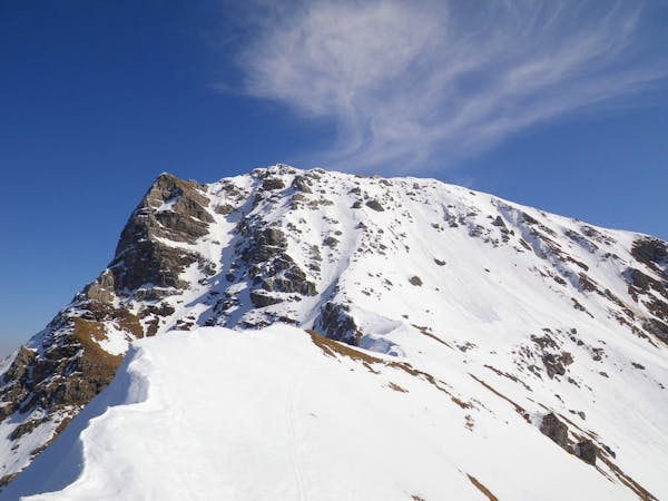
Long walking line with a steep part and some trees along the run.
Severe Freeride Skiing

A long walking line, with some gradient into this line.
Moderate Freeride Skiing

A short forest with some steepness into the middle of the line, into a isolated area.
Severe Freeride Skiing

A long traverse line with a little bit of steepness into a forest area.
Severe Freeride Skiing

A really steep gully between trees and some long traverse as ending.
Extreme Freeride Skiing

A really steep line where only a totally autonomous skier is able to go.
Extreme Freeride Skiing

A small and gentle forest line where a hike is needed for about 30 minutes.
Easy Freeride Skiing
8 routes · Ski Touring