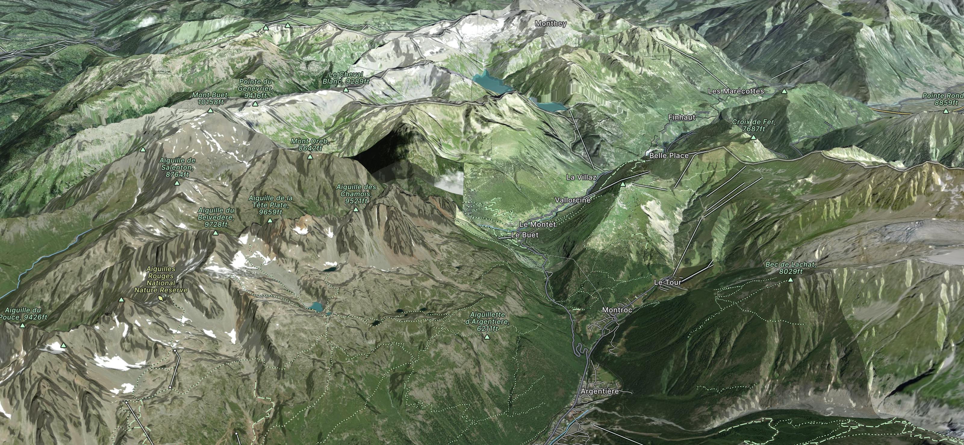
Mont Buet

An epic run to one of the finest viewpoints in France
Difficult Trail Running
- Distance
- 26 km
- Ascent
- 1.6 km
- Descent
- 2.8 km
Go trail running in La Poya with curated guides of the best trail runs across the region. With over 11 3D trail maps in FATMAP, you can easily discover and navigate the best trails in La Poya.
No matter what your next adventure has in store, you can find a guide on FATMAP to help you plan your next epic trip.
Get a top trail running recommendation in La Poya from one of our 1 guidebooks, or get inspired by the 11 local adventures uploaded by the FATMAP community. Start exploring now!
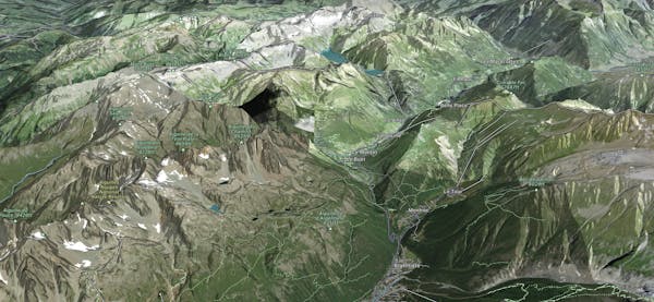
An epic run to one of the finest viewpoints in France
Difficult Trail Running

Traversé par Pointe Noire de Pormenaz, Aiguille de Salenton et Mont Buet
Difficult Trail Running