Couloir S

Large face descending the South / West side of Puy de Sancy
Moderate Freeride Skiing
- Distance
- 485 m
- Ascent
- 0 m
- Descent
- 297 m

Go Freeride in Sancy with curated guides of the best routes across the region. With over 4 3D trail maps in FATMAP, you can easily discover and navigate the best routes in Sancy.
No matter what your next adventure has in store, you can find a guide on FATMAP to help you plan your next epic trip.
Get a top Freeride recommendation in Sancy, or get inspired by the 4 local adventures uploaded by the FATMAP community. Start exploring now!
Large face descending the South / West side of Puy de Sancy
Moderate Freeride Skiing

Steep and narrow couloir. Accessed by foot from the bottom.
Severe Freeride Skiing

Acces by foot from the bottom of the couloir. Very narrow passage at the entry of the couloir.
Difficult Freeride Skiing

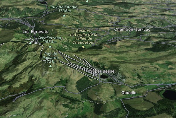
Edenbouche freeride itinerary
Moderate Freeride Skiing