Giro del Pelmo
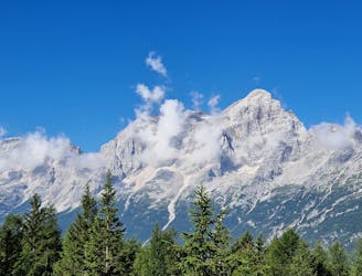
Anello del Pelmo [antiorario] - (Rifugio Staulanza, rifugio Venezia, Val d'Arcia)
Difficult Hiking
- Distance
- 14 km
- Ascent
- 1 km
- Descent
- 1 km
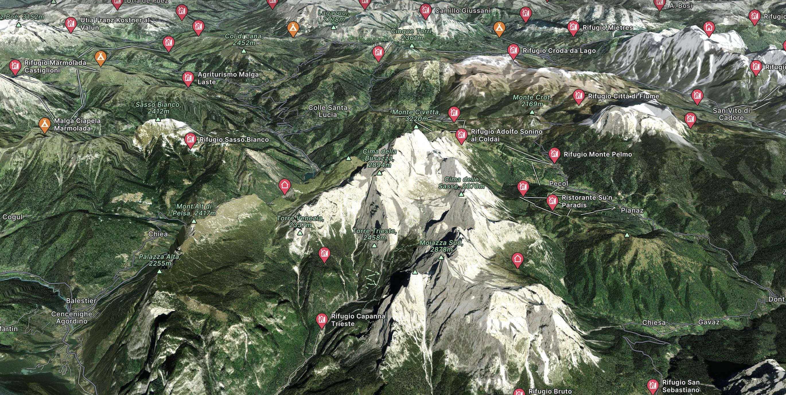
Go hiking in Civetta with curated guides of the best hikes across the region. With over 9 3D trail maps in FATMAP, you can easily discover and navigate the best trails in Civetta.
No matter what your next adventure has in store, you can find a guide on FATMAP to help you plan your next epic trip.
Get a top hiking trail recommendation in Civetta, or get inspired by the 9 local adventures uploaded by the FATMAP community. Start exploring now!

Anello del Pelmo [antiorario] - (Rifugio Staulanza, rifugio Venezia, Val d'Arcia)
Difficult Hiking

ALTA VIA 1 - STAGE 7 - SEPT 10th RIFUGIO VAZZOLER - Private Room HB
Easy Hiking

ALTA VIA 1 - STAGE 9 - RIFUGIO CARESTIATO TO RIFUGIO PRAMPERET
Moderate Hiking

ALTA VIA 1 - STAGE 8 - RIFUGIO VAZZOLER TO RIFUGIO CARESTIATO
Moderate Hiking

ALTA VIA 1 - STAGE 7 - RIFUGIO TISSI TO RIFUGIO VAZZOLER
Moderate Hiking

120 kilometres of high mountain hiking through the breathtaking Dolomites.
Severe Hiking