Sentiero delle Orobie orientali (ad anello) - 7

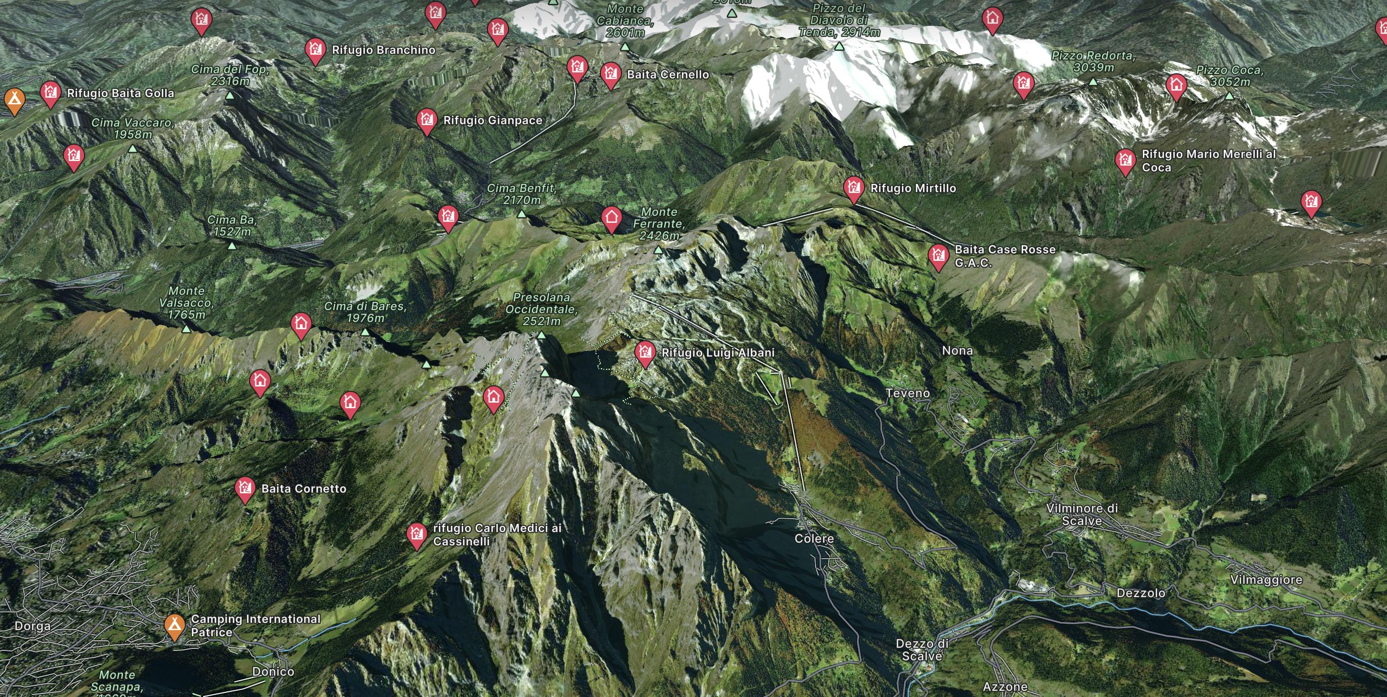
7° tappa del Sentiero delle Orobie - dal rif. Curò (CAI) al rif. Albani (CAI) - segnavia n ° 304 e 401
Difficult Hiking
- Distance
- 18 km
- Ascent
- 1.3 km
- Descent
- 1.2 km
Go hiking in Colere with curated guides of the best hikes across the region. With over 4 3D trail maps in FATMAP, you can easily discover and navigate the best trails in Colere.
No matter what your next adventure has in store, you can find a guide on FATMAP to help you plan your next epic trip.
Get a top hiking trail recommendation in Colere, or get inspired by the 4 local adventures uploaded by the FATMAP community. Start exploring now!
7° tappa del Sentiero delle Orobie - dal rif. Curò (CAI) al rif. Albani (CAI) - segnavia n ° 304 e 401
Difficult Hiking