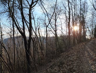
Da Fiumenero al Rifugio A. Baroni al Brunone (CAI)

E' la via comune di accesso al rifugio
Moderate Hiking
- Distance
- 7.1 km
- Ascent
- 1.5 km
- Descent
- 40 m

Explore Bergamo with curated guides of the best hiking trails, mountain bike trails, and more. With over 66 3D trail maps in FATMAP, you can easily discover and navigate the best trails in Bergamo.
No matter what your next adventure has in store, you can find a guide on FATMAP to help you plan your next epic trip.
Get a top trail recommendation in Bergamo, or get inspired by the 66 local adventures uploaded by the FATMAP community. Start exploring now!
E' la via comune di accesso al rifugio
Moderate Hiking
Partenza dai Colli di San Fermo seguendo le creste dei colli fino a Trescore / From Colli S.Fermo , following the ridge of the hills and the trails, to Trescore Balneario
Moderate Mountain Biking