Monte Amaro dalla Rava del Ferro - Sentiero B5
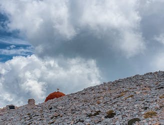
Rava del Ferro - Monte Amaro (Sentiero B5)
Severe Hiking
- Distance
- 4.7 km
- Ascent
- 1.3 km
- Descent
- 5 m

Go hiking in L'Aquila with curated guides of the best hikes across the region. With over 36 3D trail maps in FATMAP, you can easily discover and navigate the best trails in L'Aquila.
No matter what your next adventure has in store, you can find a guide on FATMAP to help you plan your next epic trip.
Get a top hiking trail recommendation in L'Aquila from one of our 1 guidebooks, or get inspired by the 36 local adventures uploaded by the FATMAP community. Start exploring now!
Rava del Ferro - Monte Amaro (Sentiero B5)
Severe Hiking

Percorso EEA molto suggestivo che passa per la Ferrata Brizio sotto al Corno Grande e svolto in direzione inversa alla solita
Difficult Hiking

#Summit #HighTerrace #Moderate #Amazing
Moderate Hiking

#Wild #PanoramicViewpoint #Summit
Moderate Hiking

Itinerario andata e ritorno per la vetta più alta dell'appennino italiano, il Corno Grande
Severe Hiking