Mt. Apo via Brgy. Sumayahon Trail
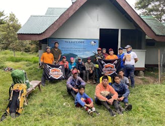
Bangkoy Campsite to Lake Maag
Difficult Hiking
- Distance
- 5.4 km
- Ascent
- 552 m
- Descent
- 129 m
Explore Cotabato with curated guides of the best routes. With over 2 3D trail maps in FATMAP, you can easily discover and navigate the best trails in Cotabato.
No matter what your next adventure has in store, you can find a guide on FATMAP to help you plan your next epic trip.
Get a top trail recommendation in Cotabato, or get inspired by the 2 local adventures uploaded by the FATMAP community. Start exploring now!
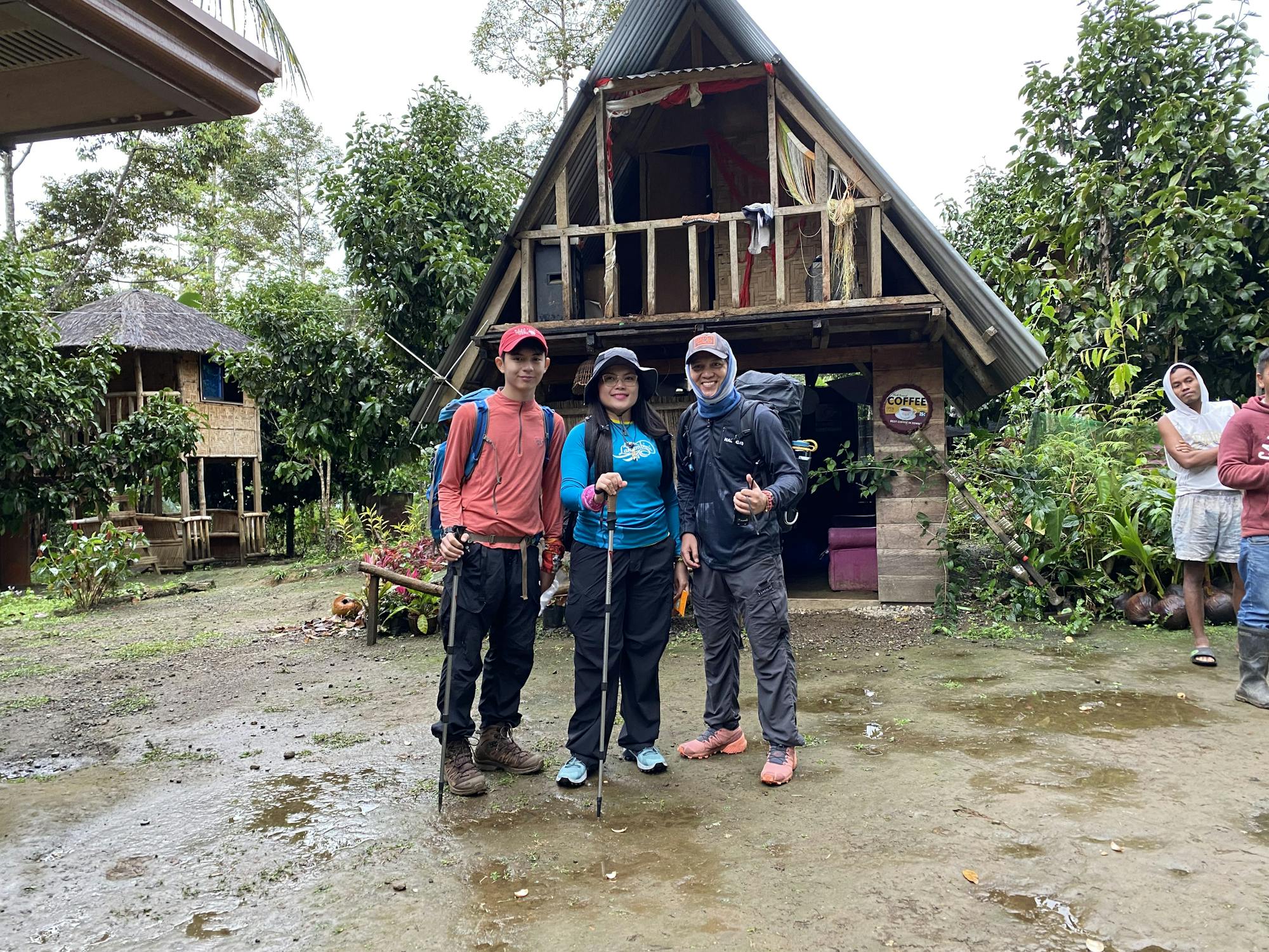
Bangkoy Campsite to Lake Maag
Difficult Hiking
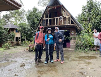
Pomatow Farm to Bangkoy Campsite Trail
Difficult Hiking