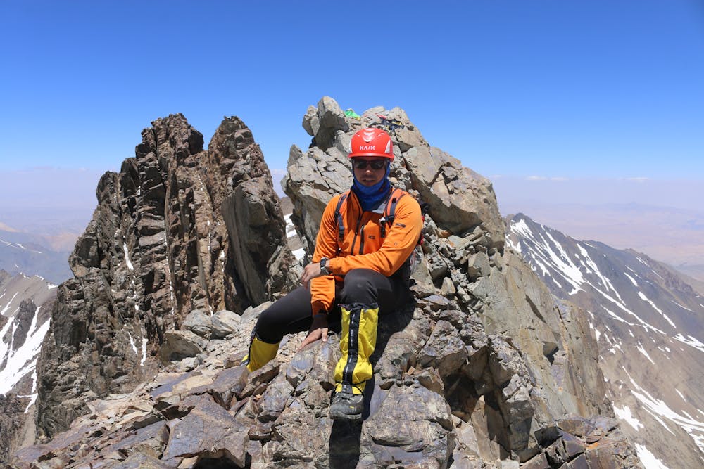
Route to Shah Fuladi Peak
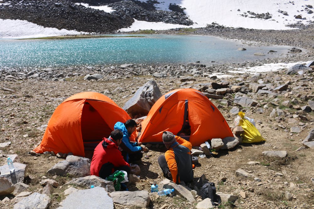
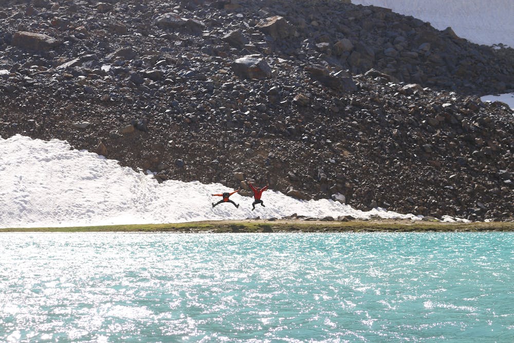
Base camp is location in near the lakes at Bamyan province
Also in Bamyan, Afghanistan
Alpine Climbing Difficult
- Distance
- 3.8 km
- Ascent
- 874 m
- Descent
- 12 m
- Low Point
- 4.2 km
- High Point
- 5 km
- Gradient
- 25˚

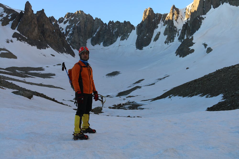
This is a popular alpine climbing route which is generally considered to be difficult. It's remote, it features medium exposure and is typically done between May and June. From a low point of 4.2 km to the maximum altitude of 5 km, the route covers 3.8 km, 874 vertical metres of ascent and 12 vertical metres of descent. You'll need ice axe, crampons, quickdraws, glacier kit, 2 ice axes, climbing shoes and wires and friends to complete it safely.
- •
- •
- •
- •
Description
Shah Fuladi Peak has been popular among Afghan mountaineers for several years. On the way to this peak, there is an ice wall of nearly 300 meters, which is the hardest part of the climb.
Difficulty
Difficult
The beginning of truly technical terrain which might involve pitched climbing on rock and/or ice, exposed terrain and complex route finding in ascent and descent. Equivalent to AD, AD+
Medium Exposure

The route features some exposed and/or difficult to protect sections.
Remoteness
Away from help but easily accessed.
Best time to visit
Equipment required
- Ice axe
- Crampons
- Quickdraws
- Glacier kit
- 2 Ice Axes
- Climbing Shoes
- Wires and Friends