Asim Zeneli-Labove e Kryqit
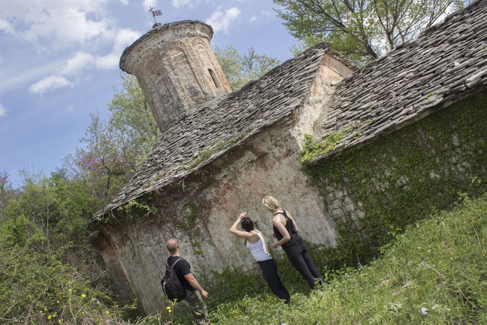
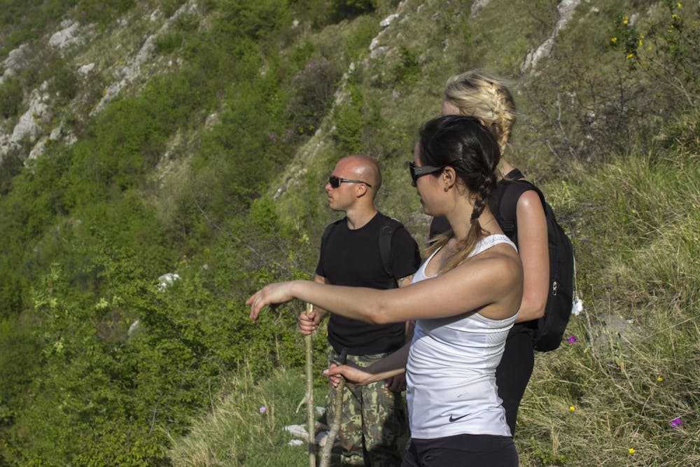
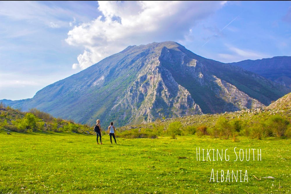
Hiking guide by "Hiking South Albania" General description! Departure from the village of Asim Zeneli, we will visit the ancient city of Antigone, which was built in the 2nd century BC, at the time of King Pyrrhus of Epirus, Afterwards we will visit the village of Stegopouli, the monastery of Saint Ilia Thesbite 1653 and Saint Spiridon's Church dating back to 1871. Afterwards we will cross the Selcke Pass and finish the itinerary in the village of Labova of the Cross, where we will be presented with the old church of St. Mary dating back to the 10th century. ITINERARY SPECIFICATIONS. The distance of the route is 14.5 km one way (Difficulty: Moderate) The ascent begins at 335m above sea level and reaches the peak at 781m The angle of swelling is 16 degrees. The road level features consist of: 924m uphill, 12.87 km straight road, 706m downhill The terrain consists of hilly-mountain ranges, gorges and valleys. The area is rich with water resources located very close to each other. The vegetation type is mainly characterized by beech, oak and pine. In this area besides domestic animals such as pets you can often encounter wolf fox. bird like hawks and various non-poisonous reptiles. For more details, you can contact the website https:\\hiking-south-albania.business.site Instagram page: @hiking.south.albania; Facebook: Hiking South Albania
Hiking Moderate
- Distance
- 14 km
- Ascent
- 924 m
- Descent
- 706 m
- Duration
- 4-5 hrs
- Low Point
- 335 m
- High Point
- 780 m
- Gradient
- 15˚

Hiking guide by "Hiking South Albania"
- •
- •
- •
- •
Description
General description!For more details, you can contact the website https:\\hiking-south-albania.business.site Instagram page: @hiking.south.albania; Facebook: Hiking South Albania
Difficulty
Moderate
Hiking along trails with some uneven terrain and small hills. Small rocks and roots may be present.
Medium Exposure

The trail contains some obstacles such as outcroppings and rock which could cause injury.
Remoteness
Away from help but easily accessed.
Best time to visit
Features
- Wildlife
- Historical
- Picturesque
- Wild flowers
- Water features
- Family friendly
- Forestry or heavy vegetation