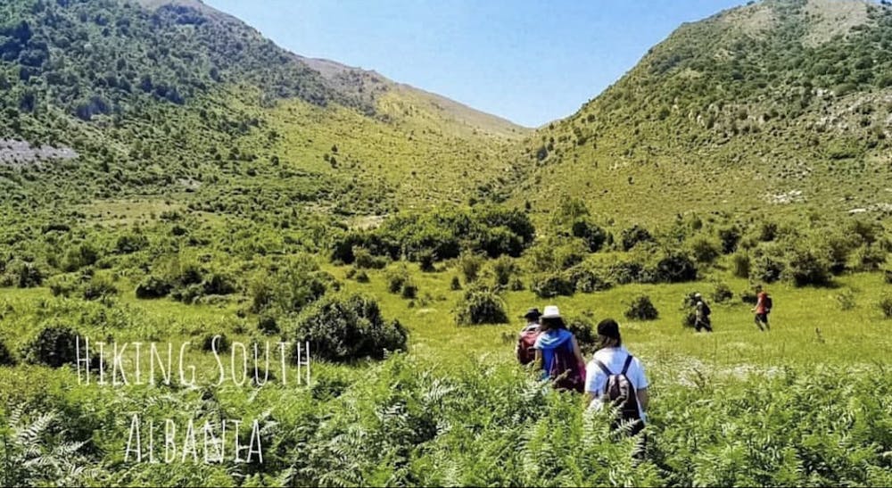
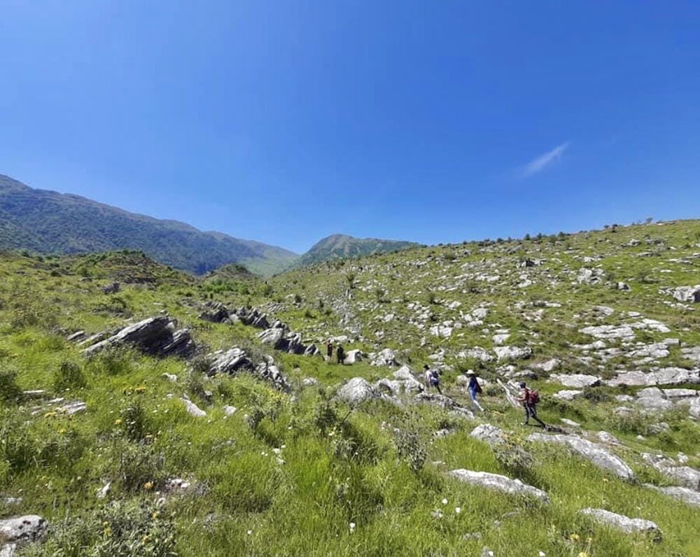
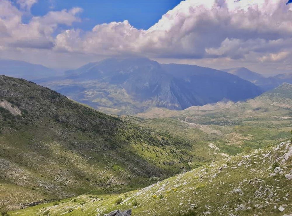
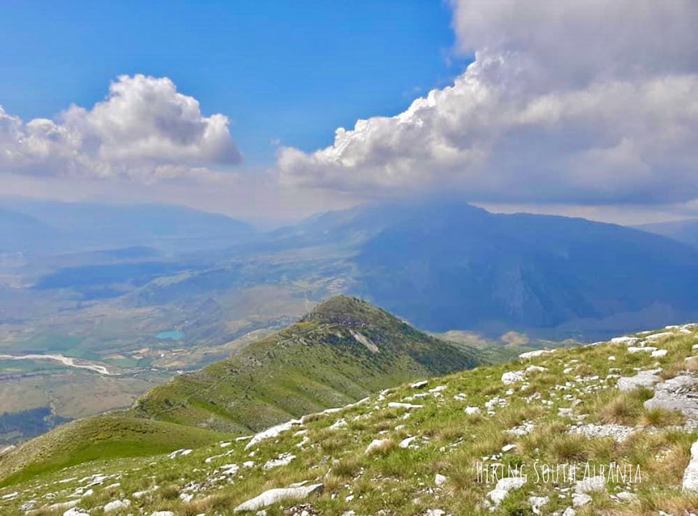
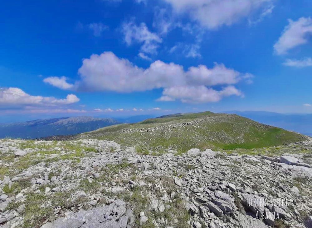
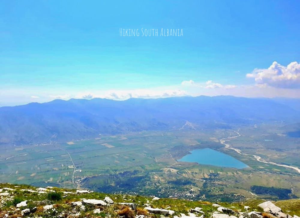
Mali Bureto (1763m)
Hiking guide by "Hiking South Albania" For more details, you can contact the website https:\\hiking-south-albania.business.site or the Instagram page: @hiking.south.albania; Facebook: Hiking South Albania
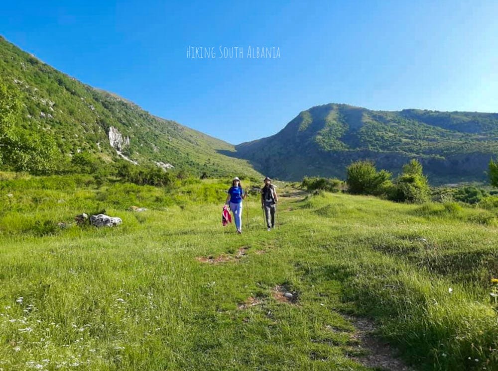
Hiking Moderate
- Distance
- 8.5 km
- Ascent
- 1.2 km
- Descent
- 37 m
- Duration
- 3-4 hrs
- Low Point
- 541 m
- High Point
- 1.7 km
- Gradient
- 19˚

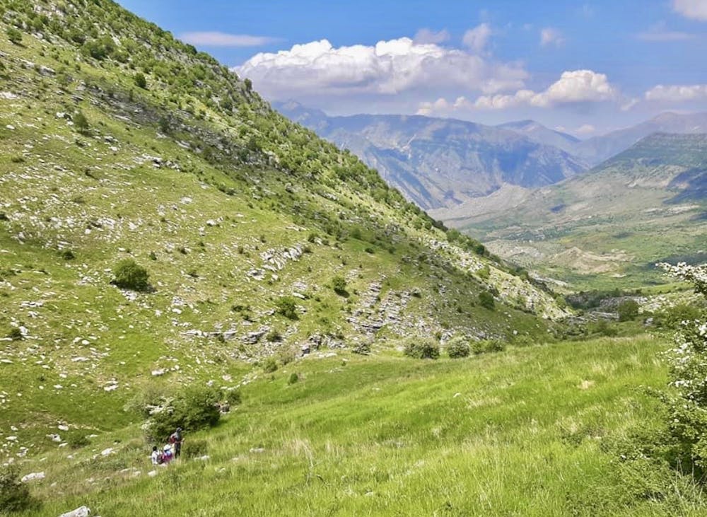
This is a popular hiking route which is generally considered to be moderate. It's remote, it features high exposure and is typically done between March and December. From a low point of 541 m to the maximum altitude of 1.7 km, the route covers 8.5 km, 1209 vertical metres of ascent and 37 vertical metres of descent.

- •
- •
- •
- •
- •
- •
- •
- •
- •
- •
- •
- •
- •
- •
Description
Hiking guide by "Hiking South Albania"
For more details, you can contact the website https:\\hiking-south-albania.business.site or the Instagram page: @hiking.south.albania; Facebook: Hiking South Albania
Difficulty
Moderate
Hiking along trails with some uneven terrain and small hills. Small rocks and roots may be present.
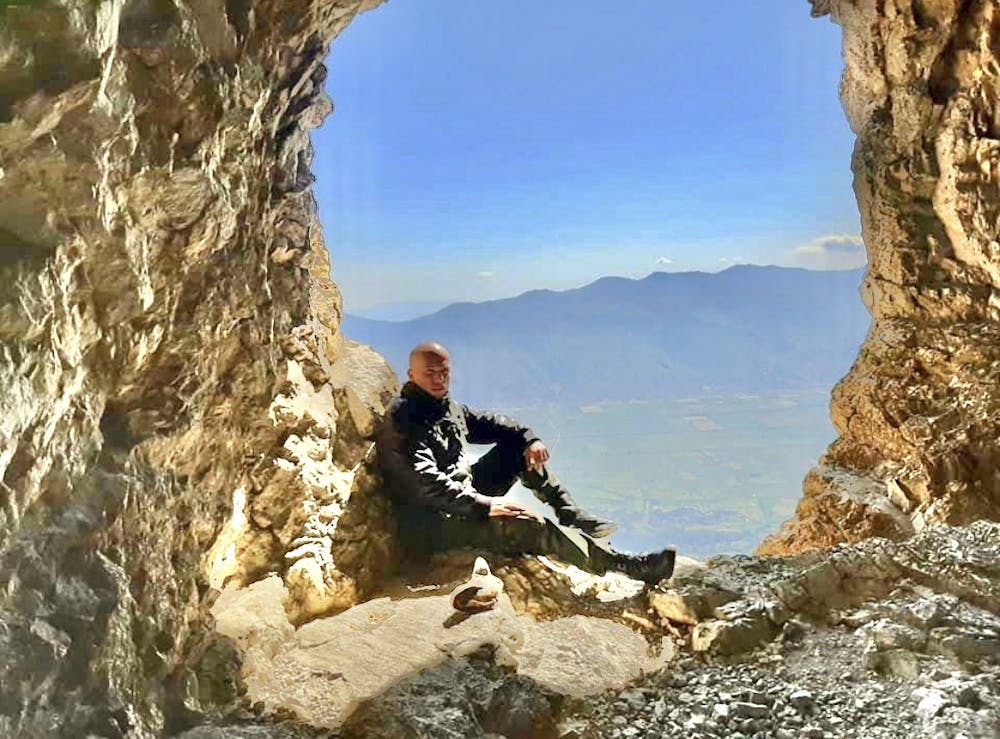
High Exposure

Some trail sections have exposed ledges or steep ascents/descents where falling could cause serious injury.
Remoteness

Away from help but easily accessed.
Best time to visit
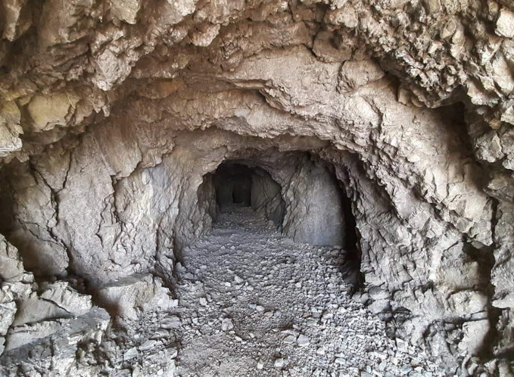
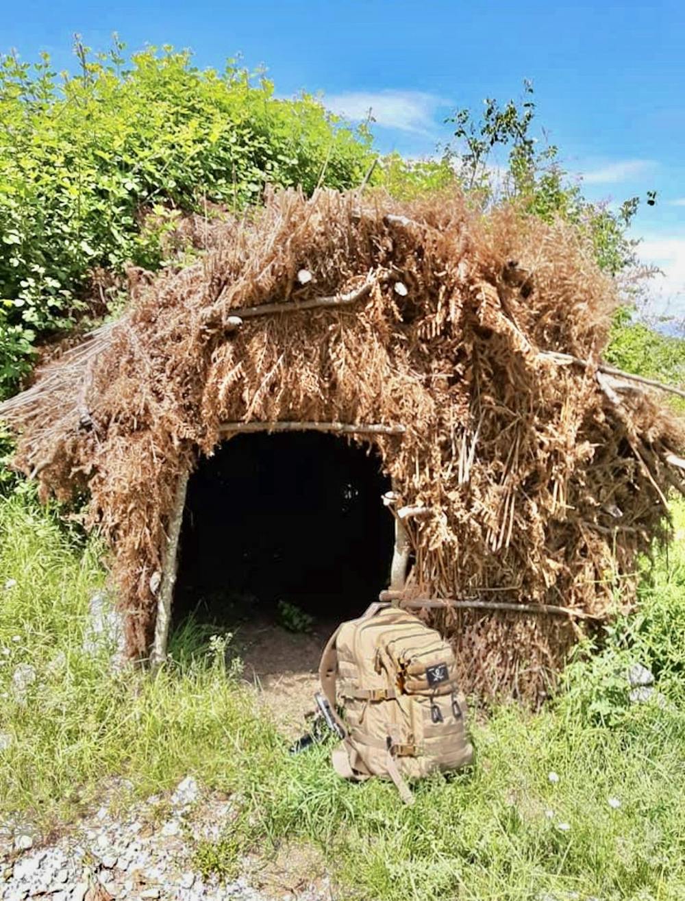
Features
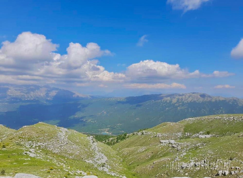
- Alpine
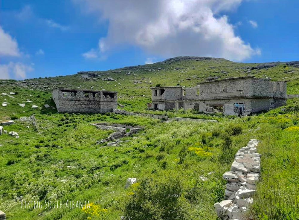
- Historical
- Picturesque
- Summit Hike
- Water features