Terihat-Qafa e Leftokarese (6.3 Km)
Hiking guide by "Hiking South Albania".
Hiking Moderate
- Distance
- 6.3 km
- Ascent
- 752 m
- Descent
- 22 m
- Duration
- 2-3 hrs
- Low Point
- 218 m
- High Point
- 948 m
- Gradient
- 9˚

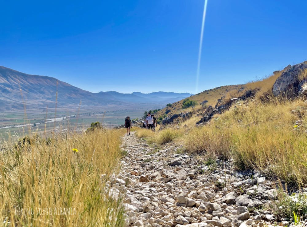
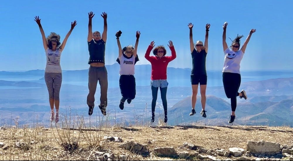
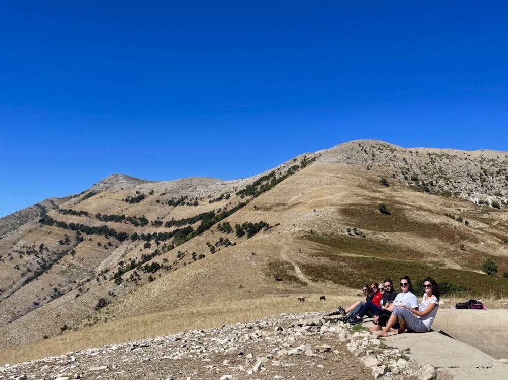
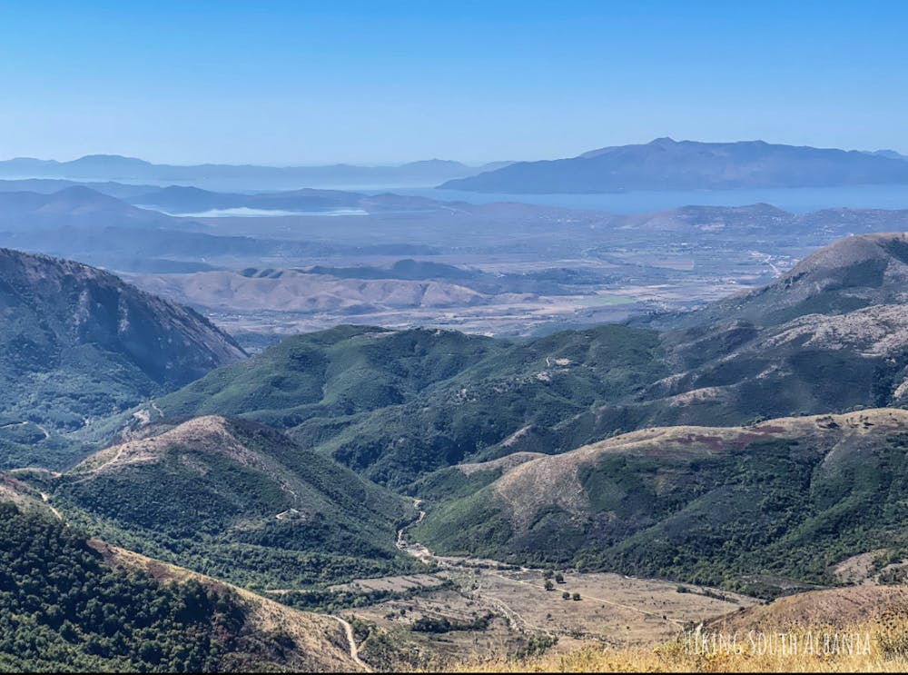
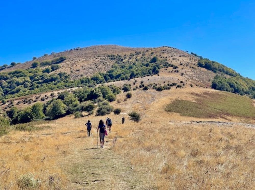
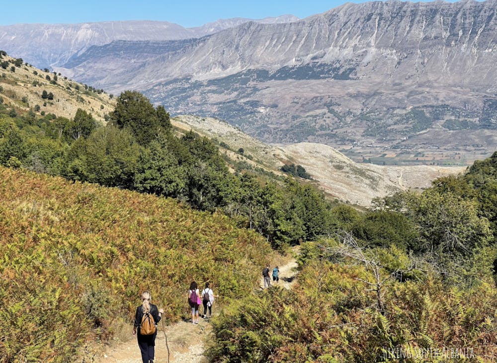
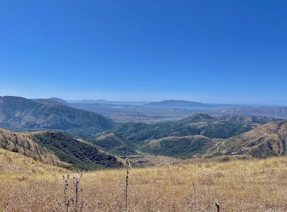
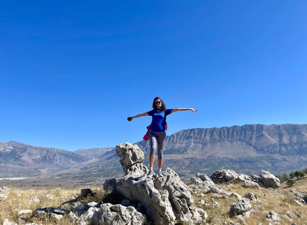
This is a popular hiking route which is generally considered to be moderate. It's remote, it features medium exposure and is typically done all year round. From a low point of 218 m to the maximum altitude of 948 m, the route covers 6.3 km, 752 vertical metres of ascent and 22 vertical metres of descent.
- •
- •
- •
- •
- •
- •
- •
- •
- •
- •
Description
Hiking guide by "Hiking South Albania".
Difficulty
Moderate
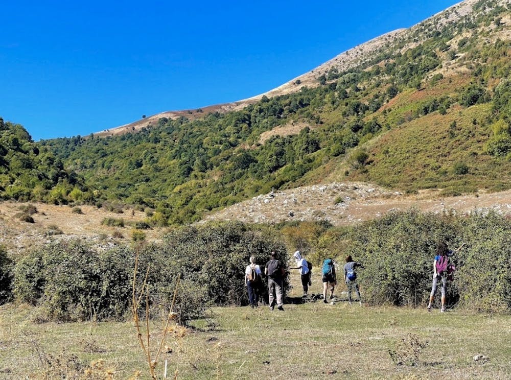
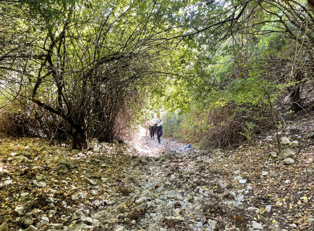
Hiking along trails with some uneven terrain and small hills. Small rocks and roots may be present.
Medium Exposure

The trail contains some obstacles such as outcroppings and rock which could cause injury.
Remoteness
Away from help but easily accessed.
Best time to visit
Features
- Wildlife
- Picturesque
- Wild flowers
- Family friendly
- Forestry or heavy vegetation