In case you would get lost
Lyngen
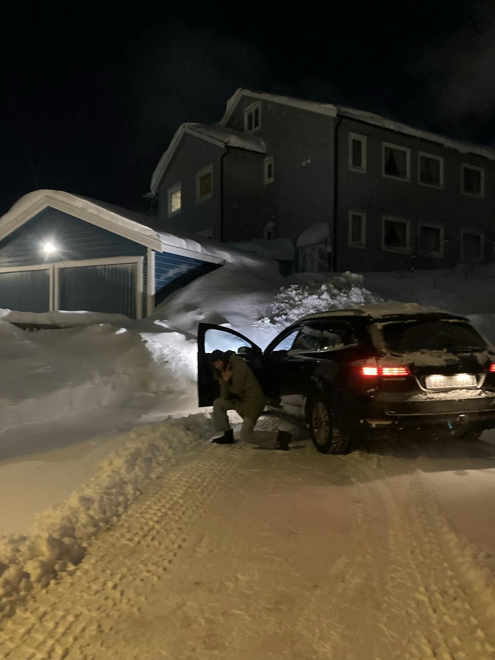
Easy peasy drive with a cool car. Btw how are you?
Alpine Climbing Extreme
- Distance
- 2.5 km
- Ascent
- 86 m
- Descent
- 41 m
- Low Point
- 0 m
- High Point
- 61 m
- Gradient
- 5˚

This is a popular alpine climbing route which is generally considered to be extreme. It's not remote, it features extreme exposure and is typically done between March and January. From a low point of 0 m to the maximum altitude of 61 m, the route covers 2.5 km, 86 vertical metres of ascent and 41 vertical metres of descent. You'll need crampons, quickdraws, glacier kit, 2 ice axes and climbing shoes to complete it safely.
Description
Parfois, cela peut être plus difficile qu'il n'y paraît. Pour y arriver ou pour quitter cet endroit.
Difficulty
Extreme
Long, committing and complex routes with difficult and sustained climbing on rock/ice and challenging route finding throughout. TD upwards.
Extreme Exposure

The majority of the route is "no fall" terrain.
Remoteness

Close to help in case of emergency.
Best time to visit
Equipment required
- Crampons
- Quickdraws
- Glacier kit
- 2 Ice Axes
- Climbing Shoes